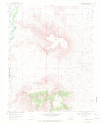
1967 Map of Manassa NE
USGS Topo · Published 1971About this map
The San Luis Hills dominate this high-desert landscape in southern Colorado, rising sharply from the surrounding alluvial plains. A complex network of irrigation infrastructure, including the East Bend Ditch, Lasauses Ditch, and Eightmile Ditch, underscores the vital role of water management in this arid region where the Conejos River and Rio San Antonio converge. These waterways historically supported the agricultural life of Conejos County.
Find a feature on this map
17 named features on this map. Tap any name to fly to it.
Don’t see what you’re looking for? This feature index may not catch every label — zoom into the map to look around manually.
Map Details
Editions of this 1967 Manassa NE Map
3 editions found
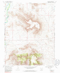
Other maps of this area

1954 · Trinidad
USGS Topo · 1:250,000

1955 · Trinidad
USGS Topo · 1:250,000

1958 · Trinidad
USGS Topo · 1:250,000

1959 · Trinidad
USGS Topo · 1:250,000

1965 · Lasauses
USGS Topo · 1:24,000

1967 · Manassa NE
USGS Topo · 1:24,000
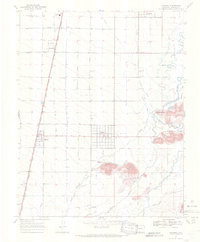
1967 · Manassa
USGS Topo · 1:24,000
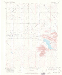
1967 · Lobatos
USGS Topo · 1:24,000
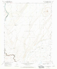
1967 · Sky Valley Ranch
USGS Topo · 1:24,000
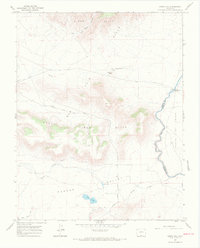
1967 · Kiowa Hill
USGS Topo · 1:24,000