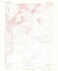
1967 Map of Mesito Reservoir
USGS Topo · Published 1971About this map
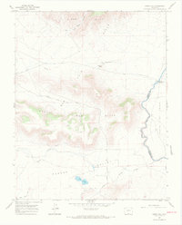
The Rio Grande defines the western edge of this Colorado landscape, carving through the terrain where it meets the San Luis Hills and a distinctive canyon known as The Box. The area is characterized by high-elevation landforms including Music Mesa, the Brownie Hills, and the Sangre De Cristo range. Water management is a central theme, evidenced by the Mesito Reservoir and the winding course of Culebra Creek. The map documents early exploration and resource extraction through scattered labels for Prospects and individual Prospect sites, particularly near the river and the Grant Boundary. The presence of Death Valley and Sugar Loaf further illustrates the varied topography found in this high-plains region during the mid-1960s.
Find a feature on this map
14 named features on this map. Tap any name to fly to it.
Don’t see what you’re looking for? This feature index may not catch every label — zoom into the map to look around manually.
Map Details
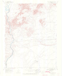
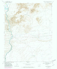
Editions of this 1967 Mesito Reservoir Map
3 editions found
Other maps of this area

1954 · Trinidad
USGS Topo · 1:250,000

1955 · Trinidad
USGS Topo · 1:250,000

1958 · Trinidad
USGS Topo · 1:250,000

1959 · Trinidad
USGS Topo · 1:250,000

1965 · Lasauses
USGS Topo · 1:24,000

1965 · Blanca SE
USGS Topo · 1:24,000

1967 · Manassa NE
USGS Topo · 1:24,000
1967 · Sky Valley Ranch
USGS Topo · 1:24,000
1967 · Kiowa Hill
USGS Topo · 1:24,000
1967 · Garcia
USGS Topo · 1:24,000