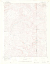
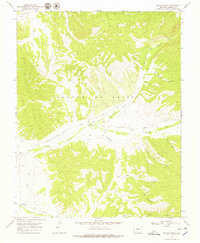
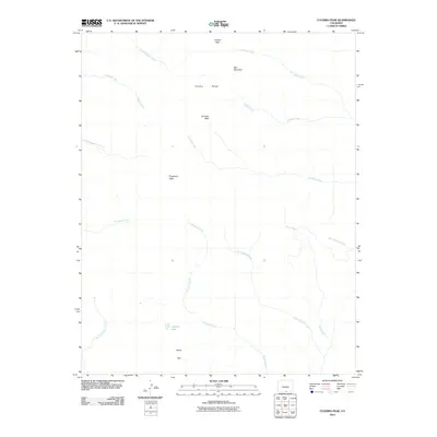
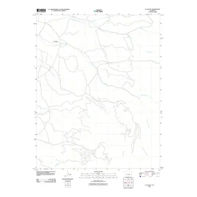
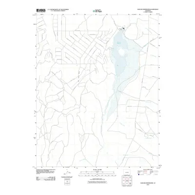
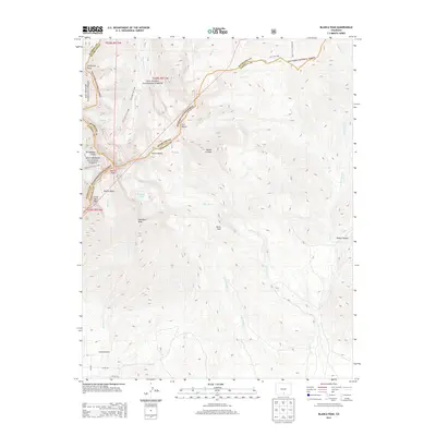
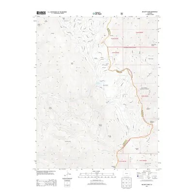
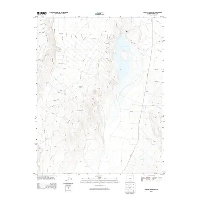
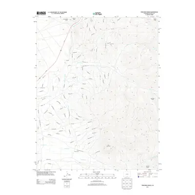
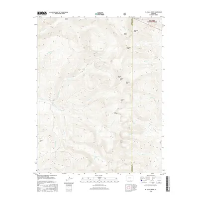
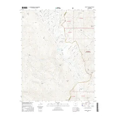
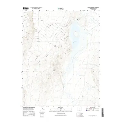
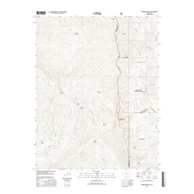
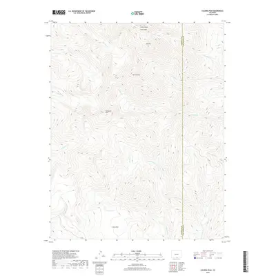
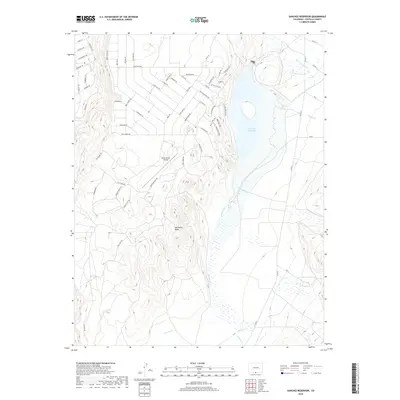
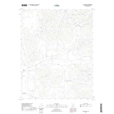
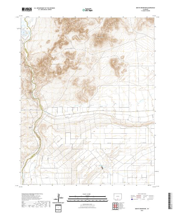
1967 Map of Mesito Reservoir
USGS Topo · Published 1982About this map
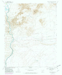
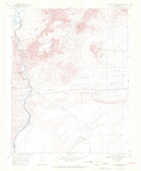
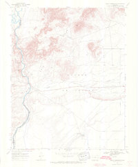
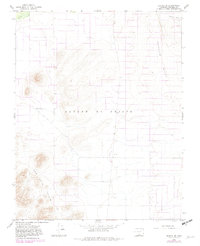
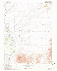
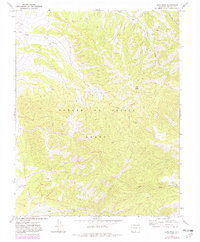
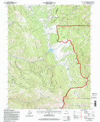
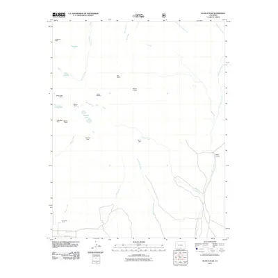
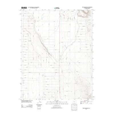
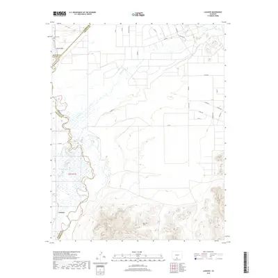
Rio Grande waters define the western edge of this landscape, carving through a dramatic section known as the Box near the boundary of Conejos and Costilla counties. The 1967 survey captures a high-desert environment where water management and topography dictate the human footprint. The Mesito Reservoir, controlled by a spillway at 7,644 feet, serves as a vital hydrological point for the surrounding plains. The terrain is marked by distinctive formations such as Music Mesa, Brownie Hills, and the ironically named Death Valley. Small-scale exploration is evident through various Prospect markings and the presence of an Indian Cave, suggesting a history of both natural resource seeking and early human presence. Irrigation and agricultural patterns are visible through Culebra Creek and a network of fence and field lines that follow the Sangre de Cristo slopes.
Find a feature on this map
15 named features on this map. Tap any name to fly to it.
Don’t see what you’re looking for? This feature index may not catch every label — zoom into the map to look around manually.
Map Details
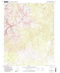
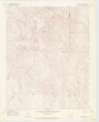
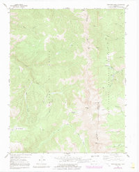
Editions of this 1967 Mesito Reservoir Map
3 editions found
Historical Maps of Conejos County Through Time
106 maps found
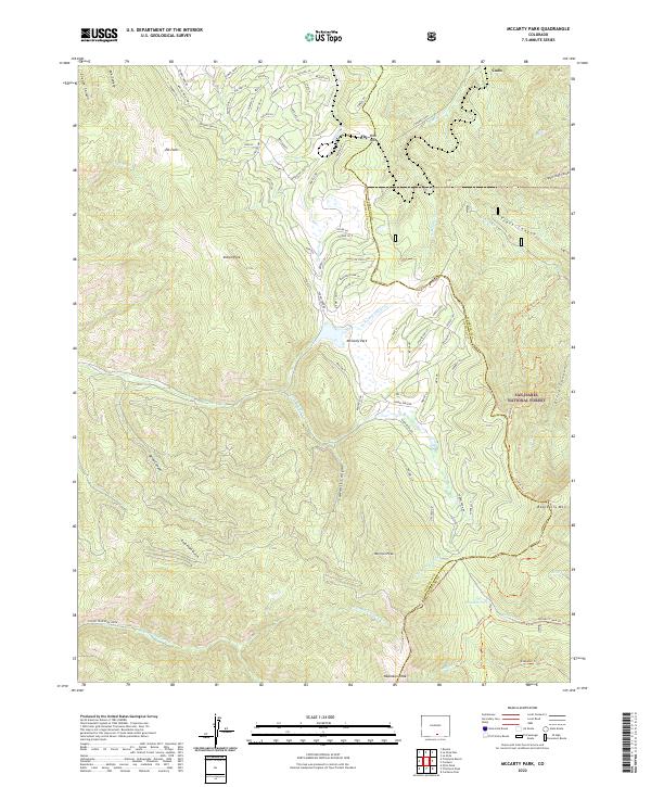
1963 Mc Carty Park
Costilla County, CO
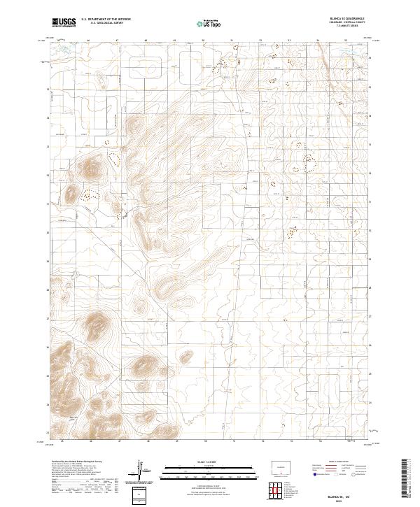
1965 Blanca SE
Costilla County, CO
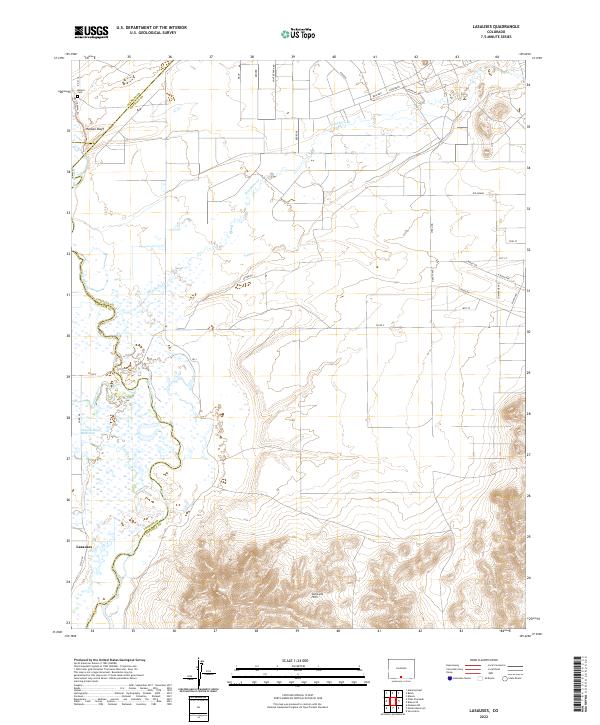
1965 Lasauses
Costilla County, CO
1967 Blanca Peak
Costilla County, CO
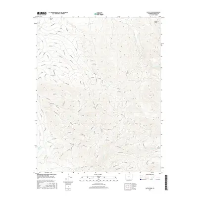
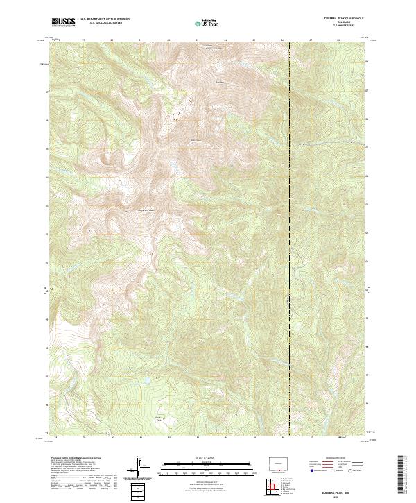
1967 Culebra Peak
Costilla County, CO
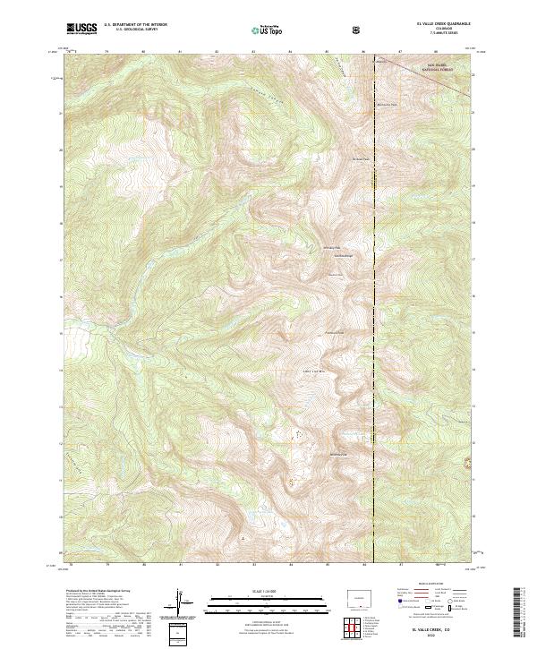
1967 El Valle Creek
Costilla County, CO
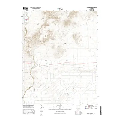
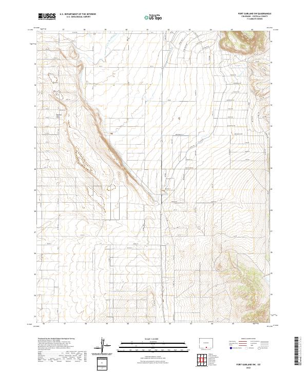
1967 Fort Garland SW
Costilla County, CO
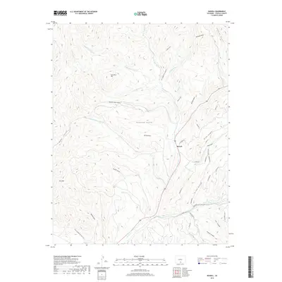
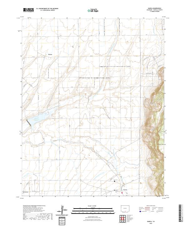
1967 Garcia
Costilla County, CO
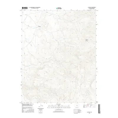
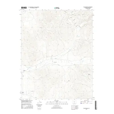
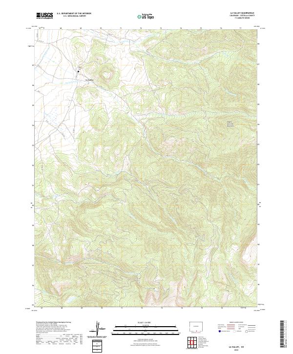
1967 La Valley
Costilla County, CO
1967 Mesito Reservoir
Costilla County, CO
1967 Ojito Peak
Costilla County, CO
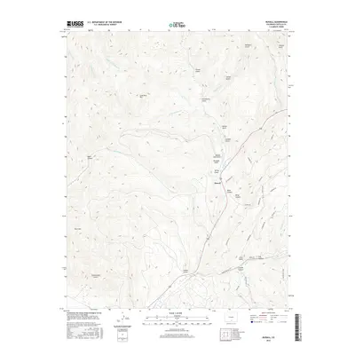
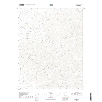
1967 Russell
Costilla County, CO
1967 Sanchez Reservoir
Costilla County, CO
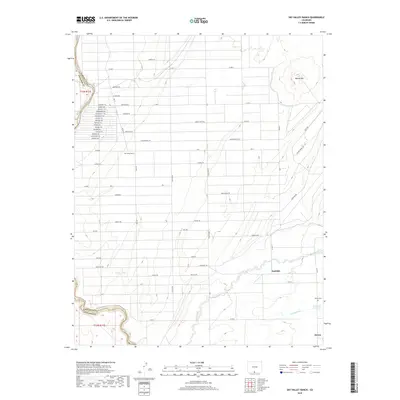
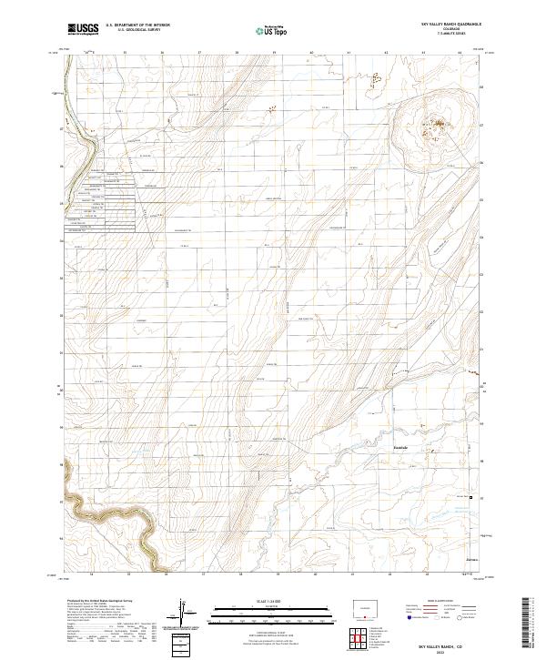
1967 Sky Valley Ranch
Costilla County, CO
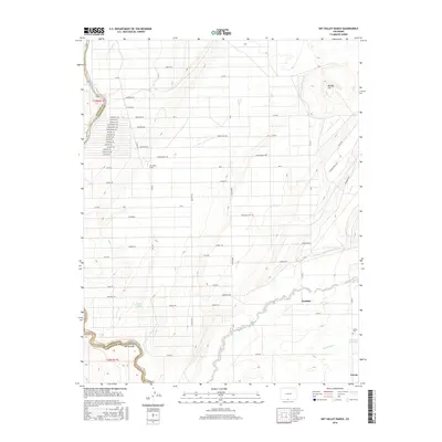
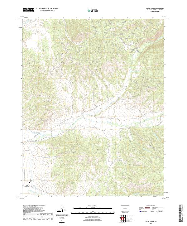
1967 Taylor Ranch
Costilla County, CO
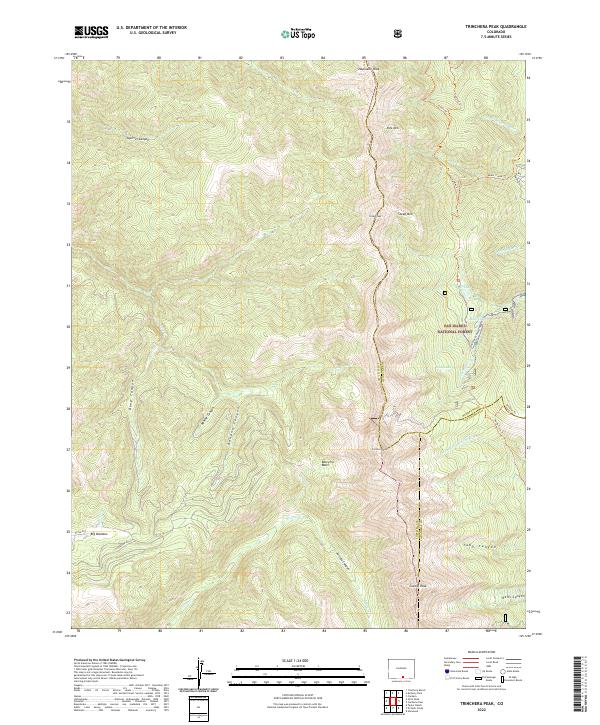
1967 Trinchera Peak
Costilla County, CO
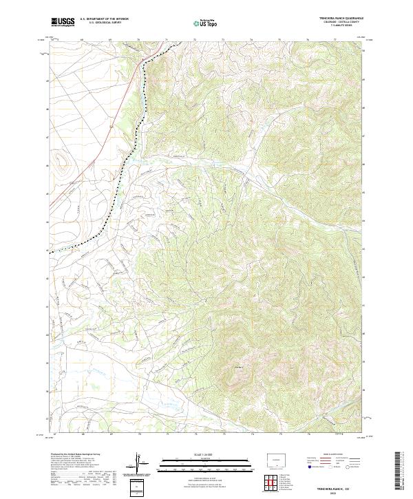
1967 Trinchera Ranch
Costilla County, CO
1994 El Valle Creek
Costilla County, CO
1994 Mc Carty Park
Costilla County, CO
1994 Trinchera Peak
Costilla County, CO
2001 Blanca Peak
Costilla County, CO
2010 Blanca SE
Costilla County, CO
2010 Culebra Peak
Costilla County, CO
2010 Fort Garland SW
Costilla County, CO
2010 Garcia
Costilla County, CO
2010 Lasauses
Costilla County, CO
2010 La Valley
Costilla County, CO
2010 Mesito Reservoir
Costilla County, CO
2010 Ojito Peak
Costilla County, CO
2010 Russell
Costilla County, CO
2010 Sanchez Reservoir
Costilla County, CO
2010 Sky Valley Ranch
Costilla County, CO
2010 Taylor Ranch
Costilla County, CO
2010 Trinchera Ranch
Costilla County, CO
2011 Blanca Peak
Costilla County, CO
2011 El Valle Creek
Costilla County, CO
2011 McCarty Park
Costilla County, CO
2011 Trinchera Peak
Costilla County, CO
2013 Blanca Peak
Costilla County, CO
2013 Blanca SE
Costilla County, CO
2013 Culebra Peak
Costilla County, CO
2013 El Valle Creek
Costilla County, CO
2013 Fort Garland SW
Costilla County, CO
2013 Garcia
Costilla County, CO
2013 Lasauses
Costilla County, CO
2013 La Valley
Costilla County, CO
2013 McCarty Park
Costilla County, CO
2013 Mesito Reservoir
Costilla County, CO
2013 Ojito Peak
Costilla County, CO
2013 Russell
Costilla County, CO
2013 Sanchez Reservoir
Costilla County, CO
2013 Sky Valley Ranch
Costilla County, CO
2013 Taylor Ranch
Costilla County, CO
2013 Trinchera Peak
Costilla County, CO
2013 Trinchera Ranch
Costilla County, CO
2016 Blanca Peak
Costilla County, CO
2016 Blanca SE
Costilla County, CO
2016 Culebra Peak
Costilla County, CO
2016 El Valle Creek
Costilla County, CO
2016 Fort Garland SW
Costilla County, CO
2016 Garcia
Costilla County, CO
2016 Lasauses
Costilla County, CO
2016 La Valley
Costilla County, CO
2016 McCarty Park
Costilla County, CO
2016 Mesito Reservoir
Costilla County, CO
2016 Ojito Peak
Costilla County, CO
2016 Russell
Costilla County, CO
2016 Sanchez Reservoir
Costilla County, CO
2016 Sky Valley Ranch
Costilla County, CO
2016 Taylor Ranch
Costilla County, CO
2016 Trinchera Peak
Costilla County, CO
2016 Trinchera Ranch
Costilla County, CO
2019 Blanca Peak
Costilla County, CO
2019 Blanca SE
Costilla County, CO
2019 Culebra Peak
Costilla County, CO
2019 El Valle Creek
Costilla County, CO
2019 Fort Garland SW
Costilla County, CO
2019 Garcia
Costilla County, CO
2019 Lasauses
Costilla County, CO
2019 La Valley
Costilla County, CO
2019 McCarty Park
Costilla County, CO
2019 Mesito Reservoir
Costilla County, CO
2019 Ojito Peak
Costilla County, CO
2019 Russell
Costilla County, CO
2019 Sanchez Reservoir
Costilla County, CO
2019 Sky Valley Ranch
Costilla County, CO
2019 Taylor Ranch
Costilla County, CO
2019 Trinchera Peak
Costilla County, CO
2019 Trinchera Ranch
Costilla County, CO
2022 Blanca Peak
Costilla County, CO
2022 Blanca SE
Costilla County, CO
2022 Culebra Peak
Costilla County, CO
2022 El Valle Creek
Costilla County, CO
2022 Fort Garland SW
Costilla County, CO
2022 Garcia
Costilla County, CO
2022 Lasauses
Costilla County, CO
2022 La Valley
Costilla County, CO
2022 McCarty Park
Costilla County, CO
2022 Mesito Reservoir
Costilla County, CO
2022 Ojito Peak
Costilla County, CO
2022 Russell
Costilla County, CO
2022 Sanchez Reservoir
Costilla County, CO
2022 Sky Valley Ranch
Costilla County, CO
2022 Taylor Ranch
Costilla County, CO
2022 Trinchera Peak
Costilla County, CO
2022 Trinchera Ranch
Costilla County, CO