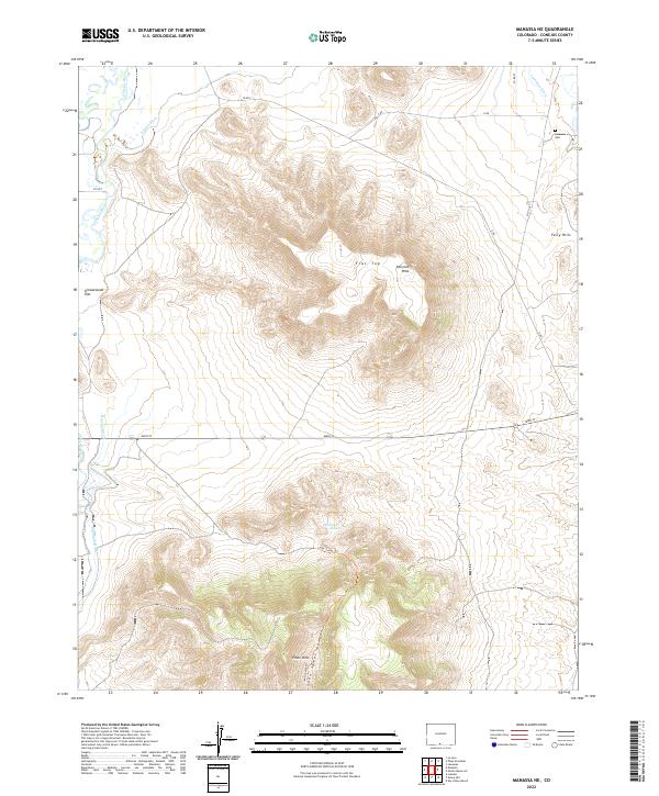
2022 Map of Manassa NE
USGS Topo · Published 2022About this map
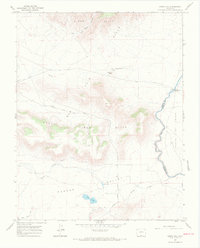
Lasauses Cem and the adjacent Lasauses Ditch mark the northeastern corner of this landscape in Conejos County, where the agricultural traditions of the San Luis Valley meet the high desert terrain. The area is defined by a sophisticated network of irrigation infrastructure including the Rincon Ditch, Eightmile Ditch, and E Bend Ditch, which draw from the Conejos River and Rio San Antonio to water the arid flats. This reliance on water management is contrasted by the dry, elevated formations of the San Luis Hills, Fairy Hills, and Piñon Hills that dominate the central and southern portions of the quadrangle. High-altitude landmarks like Flat Top and Greasewood Flat indicate the varying topography of the valley floor, while Emory Orr Spring provides a rare natural water source near John James Canyon in the more remote southern reaches of the territory.
Find a feature on this map
27 named features on this map. Tap any name to fly to it.
Don’t see what you’re looking for? This feature index may not catch every label — zoom into the map to look around manually.
Map Details
Editions of this 2022 Manassa NE Map
This is the sole edition of this map. No revisions or reprints were ever made.
Other maps of this area

1954 · Trinidad
USGS Topo · 1:250,000

1955 · Trinidad
USGS Topo · 1:250,000

1958 · Trinidad
USGS Topo · 1:250,000

1959 · Trinidad
USGS Topo · 1:250,000

1965 · Lasauses
USGS Topo · 1:24,000

1967 · Manassa NE
USGS Topo · 1:24,000
1967 · Manassa
USGS Topo · 1:24,000
1967 · Lobatos
USGS Topo · 1:24,000
1967 · Sky Valley Ranch
USGS Topo · 1:24,000
1967 · Kiowa Hill
USGS Topo · 1:24,000