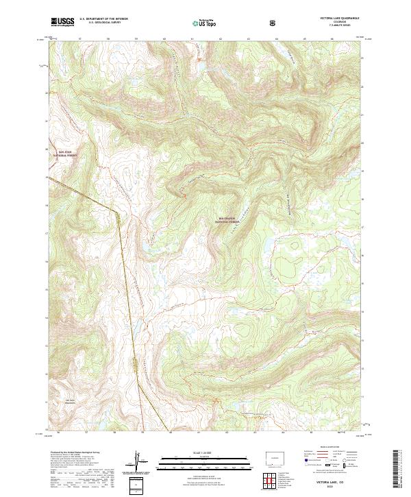
2022 Map of Victoria Lake
USGS Topo · Published 2022About this map
High-altitude wilderness and drainage divides characterize this survey of the San Juan Mountains, where the boundary between Rio Grande National Forest and San Juan National Forest follows the winding path of the Continental Divide National Scenic Trl. The map documents a complex hydrology of alpine basins, featuring clustered water bodies like Victoria Lake, Laguna Ruybal, and Laguna Venado.
Find a feature on this map
33 named features on this map. Tap any name to fly to it.
Don’t see what you’re looking for? This feature index may not catch every label — zoom into the map to look around manually.
Map Details
Editions of this 2022 Victoria Lake Map
This is the sole edition of this map. No revisions or reprints were ever made.
Other maps of this area

1913 · Summitville
USGS Topo · 1:125,000

1915 · Summitville
USGS Topo · 1:125,000

1922 · Conejos
USGS Topo · 1:125,000

1945 · Durango
USGS Topo · 1:250,000

1953 · Durango
USGS Topo · 1:250,000

1954 · Durango
USGS Topo · 1:250,000

1957 · Chama Peak
USGS Topo · 1:62,500

1961 · Durango
USGS Topo · 1:250,000

1963 · Durango
USGS Topo · 1:250,000

1966 · Durango
USGS Topo · 1:250,000