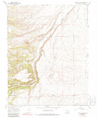
1967 Map of Vicente Canyon
USGS Topo · Published 1986About this map
Rio Grande National Forest dominates the southern landscape of this 1967 survey, where high-altitude drainage systems define the geography. The terrain is deeply incised by a series of dramatic water-carved features including Vicente Canyon, Trujillo Canyon, and Jadero Canyon, all feeding toward the prominent north-south course of La Jara Creek. A Gaging Sta and the Horned Owl Retention Dam indicate the critical role of water management in this arid mountain environment during the mid-20th century.
Find a feature on this map
17 named features on this map. Tap any name to fly to it.
Don’t see what you’re looking for? This feature index may not catch every label — zoom into the map to look around manually.
Map Details
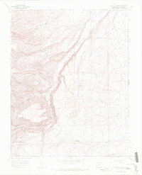
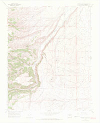
Editions of this 1967 Vicente Canyon Map
3 editions found
Other maps of this area

1922 · Conejos
USGS Topo · 1:125,000

1945 · Durango
USGS Topo · 1:250,000

1953 · Durango
USGS Topo · 1:250,000

1954 · Durango
USGS Topo · 1:250,000

1961 · Durango
USGS Topo · 1:250,000

1963 · Durango
USGS Topo · 1:250,000

1966 · Durango
USGS Topo · 1:250,000
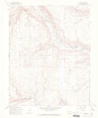
1967 · Osier
USGS Topo · 1:24,000
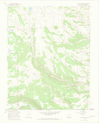
1967 · La Jara Canyon
USGS Topo · 1:24,000
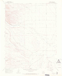
1967 · Centro
USGS Topo · 1:24,000