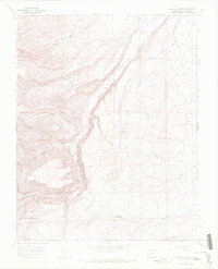
1967 Map of Vicente Canyon
USGS Topo · Published 1971About this map
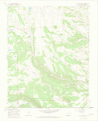
Rio Grande National Forest dominates this section of the Conejos County high country, where the landscape is defined by a dense network of drainages and volcanic terrain. La Jara Creek winds through the central valley, supported by infrastructure such as a Gaging Sta and the Horned Owl Retention Dam. The geography is characterized by numerous named canyons, including Vicente Canyon, Leandro Canyon, and Trujillo Canyon, which cut through the uplifted plateaus. Human activity in the late 1960s is evidenced by several Corral sites and Cinder Pits located near Flat Top. Movement across this difficult terrain relied on a system of Jeep Trails and Pack Trails, connecting the various ranching and forest management points within the canyon system.
Find a feature on this map
17 named features on this map. Tap any name to fly to it.
Don’t see what you’re looking for? This feature index may not catch every label — zoom into the map to look around manually.
Map Details
Editions of this 1967 Vicente Canyon Map
3 editions found
Other maps of this area

1922 · Conejos
USGS Topo · 1:125,000

1945 · Durango
USGS Topo · 1:250,000

1953 · Durango
USGS Topo · 1:250,000

1954 · Durango
USGS Topo · 1:250,000

1961 · Durango
USGS Topo · 1:250,000

1963 · Durango
USGS Topo · 1:250,000

1966 · Durango
USGS Topo · 1:250,000
1967 · Osier
USGS Topo · 1:24,000
1967 · La Jara Canyon
USGS Topo · 1:24,000
1967 · Centro
USGS Topo · 1:24,000