Old Maps of Ordway, Colorado for Hiking & Exploration
Hike through history with 17 historic maps of Ordway. Explore old trails, ghost towns, and forgotten backroads — perfect for outdoor adventurers and local explorers.
- Rediscover forgotten places: Map out old mining camps, roads, and footpaths that no longer exist on modern maps.
- Layer with modern tools: Combine with LiDAR or satellite views to plan hikes through historical terrain.
- Made for exploration: Popular among hikers, overlanders, and local history lovers.
Use these maps to find adventure and explore the hidden past of Ordway.
Ordway, CO maps
(17)- 1891 Map of Catlin
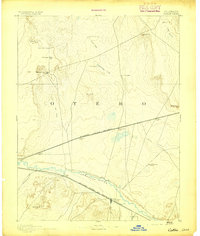
 1891 Catlin1891 Print · USGSSoutheast Colorado's high plains were a landscape of competing rail lines and isolated ranching camps in the late nineteenth century. Genealogists and historians can trace the early development of Rocky Ford and Catlin along the Arkansas River or locate remote outposts like Lone Tree Ranch and Sheep Camp.
 - 1893 Map of Catlin
 1893 Catlin1893 Print · USGSSoutheast Colorado at the close of the nineteenth century was a territory defined by the arrival of the rails and the flow of the Arkansas River. Genealogists and historians can trace early ranching and rail stops such as Rocky Ford, Lone Tree Ranch, and the isolated Double Dobe.5 unique versions available
 - 1954 Map of Sugar City, 1956 Print
 1954 Sugar City1956 Print · USGSCrowley County's irrigation and rail network is captured here in the mid-fifties, centered on the towns of Sugar City and Ordway. Trace local history at the Lakeview Cemetery, the County Fairground, and a large triangular Airfield (Abandoned).2 unique versions available
 - 1954 Map of Ordway, 1956 Print
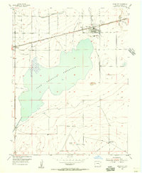
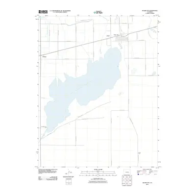
 1954 Ordway1956 Print · USGSHigh plains agriculture and irrigation define this mid-century survey of Crowley and Otero counties. Genealogists and historians can trace the intricate network of water transport including the Colorado Canal and locate rural landmarks like the Numa Sch and Ordway Airport.2 unique versions available
 - 1954 Map of Lamar, 1964 Print
 1954 Lamar1964 Print · USGSSoutheastern Colorado and the Kansas borderlands appear here in the mid-fifties, dominated by the vital Arkansas River irrigation network. Researchers can trace the development of river towns like Lamar and La Junta alongside the Amity Cemetery and several major reservoirs.3 unique versions available
 - 1958 Map of Lamar
 1958 Lamar1958 Print · USGSThe High Plains of Eastern Colorado and Western Kansas in the late fifties reveal a landscape tied to the Arkansas River and the rails. Trace the heritage of the river valley through Fort Lyon, the Atchison Topeka and Santa Fe RR, and rural landmarks like Kendrick Church.2 unique versions available
 - 1981 Map of Las Animas
 1981 Las Animas1981 Print · USGSSoutheast Colorado in the early eighties shows a landscape shaped by the Arkansas River and vital rail lines. Genealogists can locate family sites near La Junta, Fort Lyon, and Rocky Ford, or trace the historic path of the Santa Fe Trail.
 - 2010 Map of Sugar City, 2010 Print
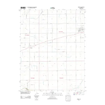
 2010 Sugar City2010 Print · USGSCovers Ordway, including Sugar City, Crowley County, and other nearby areas
 - 2010 Map of Ordway, 2010 Print
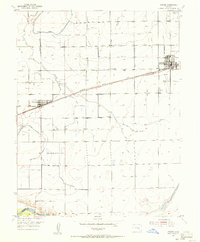
 2010 Ordway2010 Print · USGSCovers Ordway, including Crowley, Otero County, and other nearby areas
 - 2013 Map of Ordway, 2013 Print
 2013 Ordway2013 Print · USGSCovers Ordway, including Crowley, Otero County, and other nearby areas
 - 2013 Map of Sugar City, 2013 Print
 2013 Sugar City2013 Print · USGSCovers Ordway, including Sugar City, Crowley County, and other nearby areas
 - 2016 Map of Ordway, 2016 Print
 2016 Ordway2016 Print · USGSCovers Ordway, including Crowley, Otero County, and other nearby areas
 - 2016 Map of Sugar City, 2016 Print
 2016 Sugar City2016 Print · USGSCovers Ordway, including Sugar City, Crowley County, and other nearby areas
 - 2019 Map of Ordway, 2019 Print
 2019 Ordway2019 Print · USGSCovers Ordway, including Crowley, Otero County, and other nearby areas
 - 2019 Map of Sugar City, 2019 Print
 2019 Sugar City2019 Print · USGSCovers Ordway, including Sugar City, Crowley County, and other nearby areas
 - 2022 Map of Ordway, 2022 Print
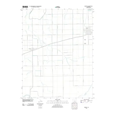
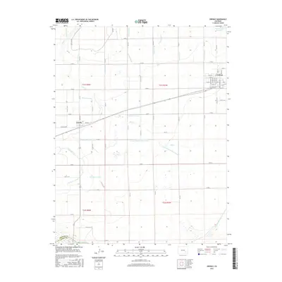
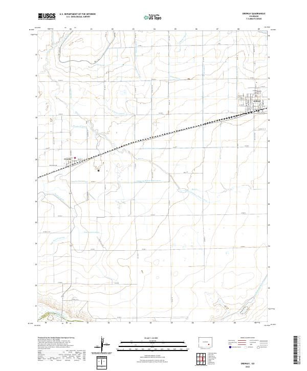 2022 Ordway2022 Print · USGSThe agricultural heart of Crowley County is revealed in this contemporary survey of the high plains. Researchers can trace the extensive irrigation network including the Colorado Canal, Crowley Drain Canal, and the town streets of Ordway.
 - 2022 Map of Sugar City, 2022 Print
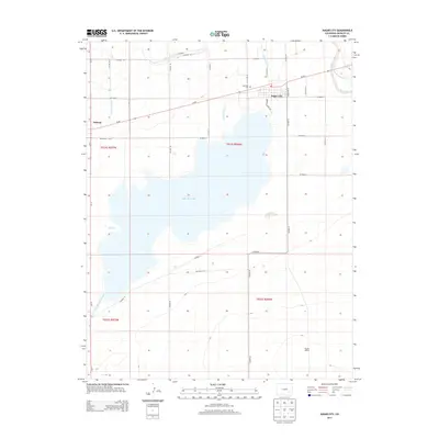
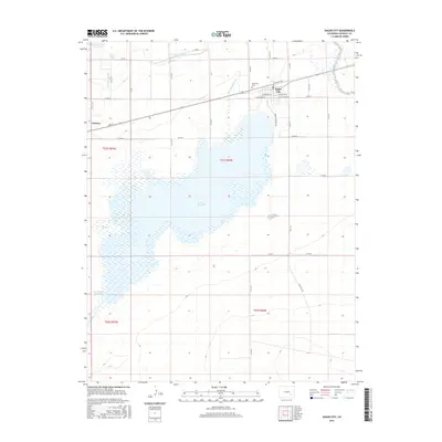
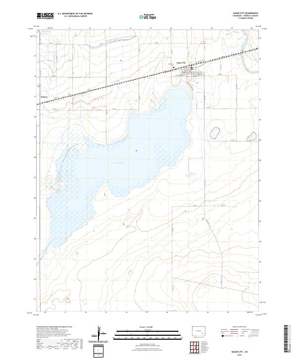 2022 Sugar City2022 Print · USGSCrowley County's agricultural heartland is captured here, centered on the water systems of Lake Meredith and Sugar City. Local researchers can trace family landmarks like Lakeview Cem or follow irrigation routes like the Sugar City Lateral.
End of results
Showing maps 1-17 of 17
Top cities near Ordway
- La Junta historical maps
- Rocky Ford historical maps
- Swink historical maps
- Manzanola historical maps
- Olney Springs historical maps
- Sugar City historical maps
See more
Frequently asked questions
- What are the different types of historical maps available for Ordway?
- What is the oldest map of Ordway?
- Where can I purchase historical maps of Ordway for my home or office?
- Where can I download high-res historical maps of Ordway?
- Are there historical topographic maps available for Ordway?
- Is there historical aerial imagery available for Ordway?
- Where are historical maps of Ordway sourced from?