Old Maps of Solaris Plaza, Vail for Academic Research
Study the evolution of Solaris Plaza with 14 high-resolution historic maps. Whether you're teaching, researching, or modeling changes in land use, these maps provide essential visual documentation of urban, environmental, and geographic change.
- Analyze long-term change: Track patterns in development, transportation, and natural features.
- Ideal for environmental or urban studies: Support academic projects with primary historical map data.
- Use in the classroom or lab: Educators and researchers rely on these maps to bring historical context to life.
These maps are a powerful tool for teaching, research, and visualizing how Solaris Plaza has changed over the decades.
Solaris Plaza, Vail maps
(14)- 1934 Map of Minturn
 1934 Minturn1934 Print · USGSThe mountain corridors of Eagle County were defined by mining and the railroad during the early nineteen-thirties. You can trace the industrial landscape of the Eagle River through settlements like Gilman, the remote Bells Camp, and the high-altitude Liberty Mine.5 unique versions available
 - 1950 Map of Minturn, 1966 Print
 1950 Minturn1966 Print · USGSMid-century Eagle County was defined by deep canyons and high-altitude industry. Genealogists and historians can trace the railroad corridors of the Denver and Rio Grande Western, the mining operations at Gilman, and the footprint of Camp Hale Military Reservation.3 unique versions available
 - 1957 Map of Leadville, 1978 Print
 1957 Leadville1978 Print · USGSHigh-country mining and rail transport define the central Colorado Rockies during the mid-to-late twentieth century. Researchers can trace the industrial footprints of Gilman and Climax, find small rail stops like Malta, and follow the Denver and Rio Grande Western RR.2 unique versions available
 - 1959 Map of Leadville
 1959 Leadville1959 Print · USGSThe Colorado high country in the late fifties is a landscape of mining history and military training, from the streets of Leadville to the Camp Hale grounds. Genealogists and historians can trace the Denver and Rio Grande Western RR alongside now-deserted sites like Ashcroft and Independence.
 - 1960 Map of Leadville
 1960 Leadville1960 Print · USGSThe Colorado high country in the mid-fifties comes alive through its mining camps, river valleys, and rail lines. Trace the industrial legacy of the Climax Molybdenum Mine and explore the alpine reaches of the Camp Hale Military Reservation.2 unique versions available
 - 1962 Map of Leadville
 1962 Leadville1962 Print · USGSThe Colorado high country in the early sixties was a rugged landscape of mining camps, military training grounds, and emerging ski towns. Researchers can trace the legacy of Camp Hale, locate the Molybdenum mine near Leadville, and follow the Denver and Rio Grande Western RR through the canyons.
 - 1964 Map of Leadville
 1964 Leadville1964 Print · USGSColorado's high country is captured here during the mid-1960s, showing the intersection of mining history and mountain transport. Trace the legacy of high-altitude industry at the Climax Molybdenum Mine or follow the rails of the Colorado and Southern Ry past Leadville.
 - 1970 Map of Vail West, 1973 Print
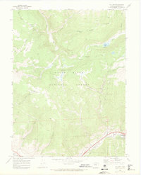 1970 Vail West1973 Print · USGSThe Eagle County high country is shown here just as Vail was establishing its modern footprint. You can trace early backcountry access via the Nottingham Ridge Trail and locate recreation sites like Piney Lake and Piney Campground.3 unique versions available
 - 1980 Map of Vail, 1982 Print
 1980 Vail1982 Print · USGSThe Eagle River valley and the Gore Range are shown here in the early eighties as mountain towns evolved from mining hubs to world-class destinations. Trace the Denver and Rio Grande Western railroad or locate the Lady Belle Mine and Johnson Mine.
 - 2011 Map of Vail West, 2011 Print
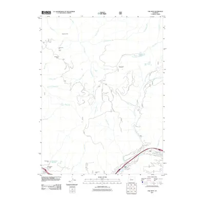 2011 Vail West2011 Print · USGSThe Eagle County highlands during the early twenty-first century reveal a landscape of growing resort communities and alpine wilderness. Researchers can trace the development of Vail and West Vail or locate historical mining sites like the Coyote Claims Mine and Singing River Ranch.
 - 2013 Map of Vail West, 2013 Print
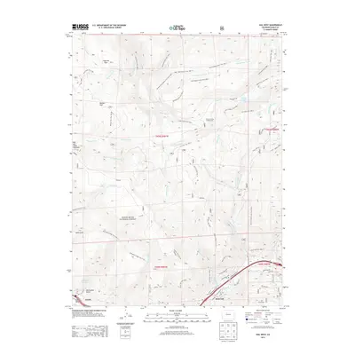 2013 Vail West2013 Print · USGSThe high country of Eagle County is captured here just as the modern recreation landscape of the twenty-first century was fully established. You can trace the intricate trail systems and alpine geography between Avon and the Vail Ski Area, including Piney Lake and Nottingham Reservoir.
 - 2016 Map of Vail West, 2016 Print
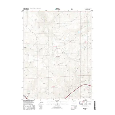 2016 Vail West2016 Print · USGSAvon and Vail occupy the valley floor in the mid-2010s, serving as the gateway to the high peaks of the White River National Forest. Researchers can trace the development of the Vail Ski Area and the legacy of old forest routes like the Old 734 Trail and Red Sandstone Muddy Pass.
 - 2019 Map of Vail West, 2019 Print
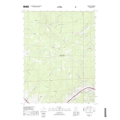 2019 Vail West2019 Print · USGSThe Eagle River valley and the surrounding peaks appear here in the late 2010s during a period of established alpine recreation. Map collectors and hikers can trace the paths of the Lower Piney Trail and North Vail Trail, or locate landmarks like Piney Lake and Nottingham Reservoir.
 - 2022 Map of Vail West, 2022 Print
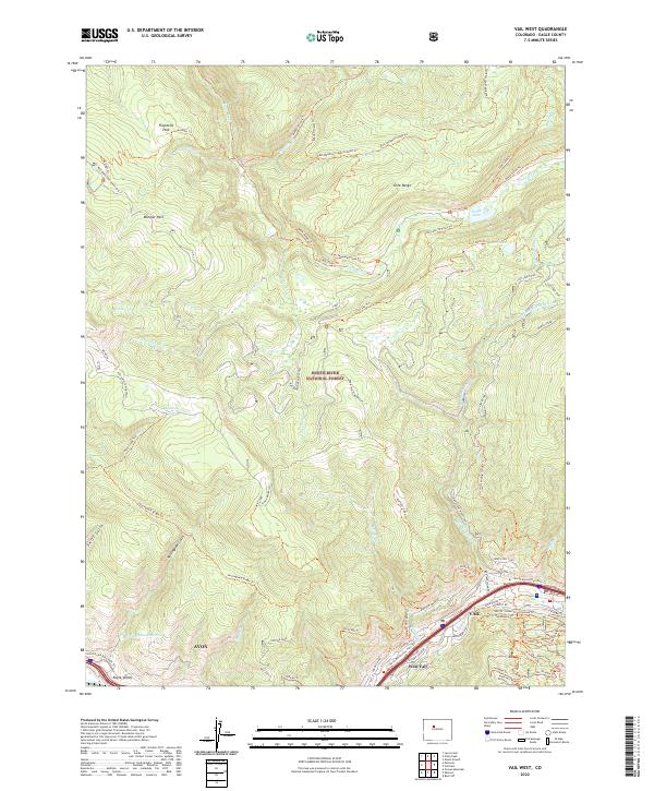 2022 Vail West2022 Print · USGSThe Eagle Valley at the peak of its modern resort development offers a detailed view of the high-country landscape between Avon and Vail. You can trace the extensive trail networks of the Vail Ski Area and remote landmarks like Piney Lake and the Gore Range.
End of results
Showing maps 1-14 of 14
Frequently asked questions
- What are the different types of historical maps available for Solaris Plaza?
- What is the oldest map of Solaris Plaza?
- Where can I purchase historical maps of Solaris Plaza for my home or office?
- Where can I download high-res historical maps of Solaris Plaza?
- Are there historical topographic maps available for Solaris Plaza?
- Is there historical aerial imagery available for Solaris Plaza?
- Where are historical maps of Solaris Plaza sourced from?