
1934 Map of Minturn
USGS Topo · Published 1934About this map
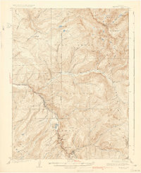
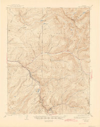
Minturn sits at the heart of this 1930s mountain landscape, serving as a vital hub where the Denver and Rio Grande Western RR follows the winding path of the Eagle River. The mapping reveals a complex industrial and agricultural network, from the State Experimental Farm in the west to the mining operations at Gilman and the Liberty Mine perched near Battle Mtn. The topography is defined by the intersections of several protected lands, including the Holy Cross National Forest and White River National Forest, where numerous creeks like Gore Creek and Turkey Creek descend through steep canyons. Small settlements and specialized camps such as Lionshead, Bells Camp, and Belden illustrate the era's reliance on the railroad and river corridor for transport and industry, while the Gore Creek Sch and Dickson Ranch anchor the local rural community.
Find a feature on this map
64 named features on this map. Tap any name to fly to it.
Don’t see what you’re looking for? This feature index may not catch every label — zoom into the map to look around manually.
Map Details
Editions of this 1934 Minturn Map
5 editions found
Other maps of this area

1889 · Leadville
USGS Topo · 1:125,000

1891 · Leadville
USGS Topo · 1:125,000

1909 · Mount Jackson
USGS Topo · 1:125,000

1911 · Mount Jackson
USGS Topo · 1:125,000

1929 · Dillon
USGS Topo · 1:62,500

1933 · Mt. Powell
USGS Topo · 1:48,000

1933 · Ute Peak
USGS Topo · 1:62,500

1934 · Climax
USGS Topo · 1:48,000

1934 · Dillon
USGS Topo · 1:62,500

1937 · Ute Peak
USGS Topo · 1:62,500