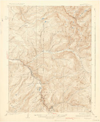
1934 Map of Minturn
USGS Topo · Published 1934About this map
The Eagle River canyon serves as the industrial and transit spine for this 1930s survey, anchoring the mining settlements of Gilman, Belden, and Red Cliff. The steep geography of the Sawatch Range and Holy Cross National Forest forced a concentration of development along the narrow river corridor, where the Denver and Rio Grande Western railroad tracks parallel the water. High above the river, the Liberty Mine and several seasonal camps like Bells Camp underscore the era's reliance on hard-rock extraction.
Find a feature on this map
61 named features on this map. Tap any name to fly to it.
Don’t see what you’re looking for? This feature index may not catch every label — zoom into the map to look around manually.
Map Details
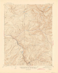
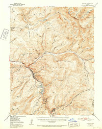
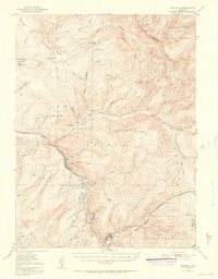
Editions of this 1934 Minturn Map
5 editions found
Other maps of this area

1889 · Leadville
USGS Topo · 1:125,000

1891 · Leadville
USGS Topo · 1:125,000

1909 · Mount Jackson
USGS Topo · 1:125,000

1911 · Mount Jackson
USGS Topo · 1:125,000

1929 · Dillon
USGS Topo · 1:62,500

1933 · Mt. Powell
USGS Topo · 1:48,000

1933 · Ute Peak
USGS Topo · 1:62,500

1934 · Climax
USGS Topo · 1:48,000

1934 · Minturn
USGS Topo · 1:62,500

1934 · Dillon
USGS Topo · 1:62,500