2000s (21st Century) Maps of Columbine Campground, Colorado
Explore 5 historic maps of Columbine Campground from the 2000s (21st Century). These maps offer a rare glimpse into what life looked like during the 2000s — showing old roads, neighborhoods, homes, and landmarks that have changed or disappeared over time.
Whether you're researching your family's past, planning a metal detecting trip, or studying how Columbine Campground's landscape evolved across the 2000s, these high-resolution maps are a powerful tool for exploring the history of this region.
- Focus on a specific era: All maps on this page are from the 2000s, giving you a focused view of this time period.
- See what’s changed: Compare century-old streets, trails, and buildings to today's modern landscape using overlays and satellite layers.
- Research with precision: Use these maps for genealogy, historical research, land use analysis, or educational projects.
- View, download, or print: Maps are fully viewable online in high resolution, and can be downloaded or printed for your own records.
Start exploring Columbine Campground's history through authentic maps from the 2000s. This is your window into the past.
Columbine Campground, CO maps
(5)- 2011 Map of Central City, 2011 Print
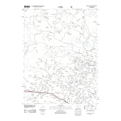 2011 Central City2011 Print · USGSCovers Columbine Campground, including Idaho Springs, Black Hawk, and other nearby areas
 - 2013 Map of Central City, 2013 Print
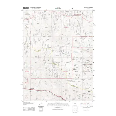 2013 Central City2013 Print · USGSCovers Columbine Campground, including Idaho Springs, Black Hawk, and other nearby areas
 - 2016 Map of Central City, 2016 Print
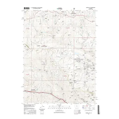 2016 Central City2016 Print · USGSCovers Columbine Campground, including Idaho Springs, Black Hawk, and other nearby areas
 - 2019 Map of Central City, 2019 Print
 2019 Central City2019 Print · USGSCovers Columbine Campground, including Idaho Springs, Black Hawk, and other nearby areas
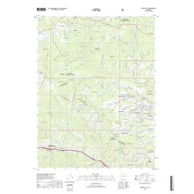
 - 2022 Map of Central City, 2022 Print
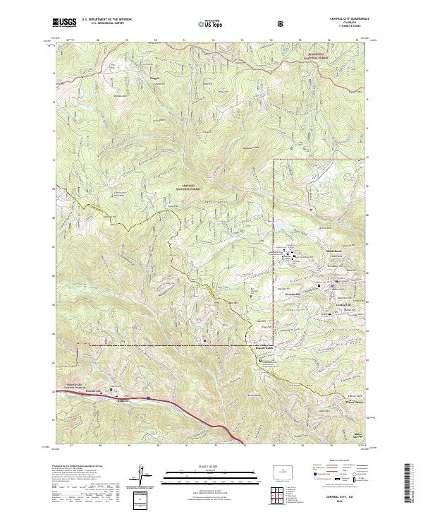 2022 Central City2022 Print · USGSGilpin County's gold-mining heart is preserved here in the mountains above Clear Creek during the early 21st century. Genealogists can locate a significant concentration of historic burial sites such as the Missouri City Cem and Rocky Mountain Independent Order of Oddfellows Lodge Number 2 Cem.
End of results
Showing maps 1-5 of 5
Top cities near Columbine Campground
- Idaho Springs historical maps
- Nederland historical maps
- Georgetown historical maps
- Empire historical maps
- Silver Plume historical maps
- Black Hawk historical maps
Frequently asked questions
- What are the different types of historical maps available for Columbine Campground?
- What is the oldest map of Columbine Campground?
- Where can I purchase historical maps of Columbine Campground for my home or office?
- Where can I download high-res historical maps of Columbine Campground?
- Are there historical topographic maps available for Columbine Campground?
- Is there historical aerial imagery available for Columbine Campground?
- Where are historical maps of Columbine Campground sourced from?