Old Maps of Parshall, Colorado for Hiking & Exploration
Hike through history with 16 historic maps of Parshall. Explore old trails, ghost towns, and forgotten backroads — perfect for outdoor adventurers and local explorers.
- Rediscover forgotten places: Map out old mining camps, roads, and footpaths that no longer exist on modern maps.
- Layer with modern tools: Combine with LiDAR or satellite views to plan hikes through historical terrain.
- Made for exploration: Popular among hikers, overlanders, and local history lovers.
Use these maps to find adventure and explore the hidden past of Parshall.
Parshall, CO maps
(16)- 1954 Map of Craig, 1973 Print
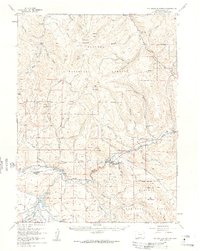
 1954 Craig1973 Print · USGSNorthwest Colorado and the high mountain parks are captured in the mid-fifties, showing the region's ranching, mining, and timber centers. Genealogists and historians can trace rail corridors like the Denver and Rio Grande Western and old towns such as Axial, Milner, and Coalmont.3 unique versions available
 - 1957 Map of Craig
 1957 Craig1957 Print · USGSNorthwest Colorado in the mid-fifties is a landscape of mountain ranching and rail-dependent river towns. Researchers can trace historic coal mining at the Sudduth Mine, follow the Denver and Rio Grande Western tracks, and locate vanished settlements like Pearl.
 - 1957 Map of Hot Sulphur Springs, 1959 Print
 1957 Hot Sulphur Springs1959 Print · USGSGrand County during the late fifties reveals a high-country landscape shaped by the Colorado River and the railroad. Researchers can locate family ranch sites like Wheatley Ranch, trace the Denver and Rio Grande Western through Byers Canyon, and see the original layout of Parshall.6 unique versions available
 - 1958 Map of Craig
 1958 Craig1958 Print · USGSNorthwest Colorado and the High Rockies are captured here in the mid-fifties, showing a landscape of burgeoning water projects and mountain ranching. Genealogists and historians can trace old homesteads and mountain outposts from Grand Lake to Meeker, alongside industrial landmarks like Uranium Mines and the Denver and Rio Grande Western railroad.
 - 1960 Map of Craig
 1960 Craig1960 Print · USGSNorthwest Colorado in the 1950s is a landscape of mountain summits and industrial growth at the headwaters of the West. Genealogists and historians can trace rail-town development along the Denver and Salt Lake line, while locating Uranium Mines and settlements like Craig, Meeker, and Steamboat Springs.
 - 1962 Map of Craig
 1962 Craig1962 Print · USGSNorthwest Colorado in the early sixties is a land of high-elevation ranching and remote river valleys. Genealogists and historians can trace the Denver and Rio Grande Western rail lines and locate early settlements like Hahns Peak, Meeker, and Juniper Springs.
 - 1964 Map of Craig
 1964 Craig1964 Print · USGSNorthwestern Colorado's high country is captured here during the mid-sixties, from the Yampa River valley to the high peaks of the Park Range. Local researchers can trace the Denver and Rio Grande Western rail line and locate Uranium Mines near Lay.
 - 1965 Map of Craig
 1965 Craig1965 Print · USGSNorthwest Colorado in the mid-sixties is defined by its massive river basins and high mountain ranges flanking the Continental Divide. Trace the routes of the Denver and Rio Grande Western through old settlements like McCoy and Kremmling.
 - 1971 Map of Parshall, 1974 Print
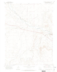 1971 Parshall1974 Print · USGSSoutheast Colorado in the early seventies is defined here by the winding Purgatoire River and its dramatic canyon walls. Researchers can trace land use through features like the Lewelling Mc Cormick Ditch and the isolated Patterson Crossing.
 - 1980 Map of Parshall
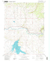 1980 Parshall1980 Print · USGSGrand County life in the late seventies centered on the confluence of the Colorado River and Williams Fork. Here, researchers can trace the rail corridor of the Denver and Rio Grande Western, the expansive Williams Fork Reservoir, and the rugged passage of Byers Canyon.
 - 1980 Map of Steamboat Springs, 1982 Print
 1980 Steamboat Springs1982 Print · USGSNorthwest Colorado's ranching and rail corridors come to life in the early eighties as mountain recreation and resource management began to reshape the region. Researchers can trace the Denver and Rio Grande Western line through Oak Creek or locate local landmarks like Old Homestead and Egeria Park.
 - 2010 Map of Parshall, 2010 Print
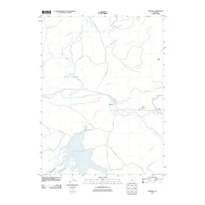 2010 Parshall2010 Print · USGSCovers Parshall, including Grand County, United States, and other nearby areas
 - 2013 Map of Parshall, 2013 Print
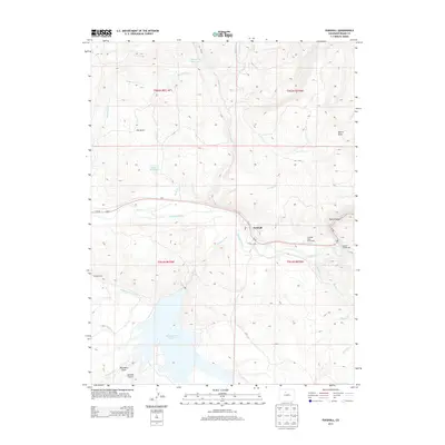 2013 Parshall2013 Print · USGSCovers Parshall, including Grand County, United States, and other nearby areas
 - 2016 Map of Parshall, 2016 Print
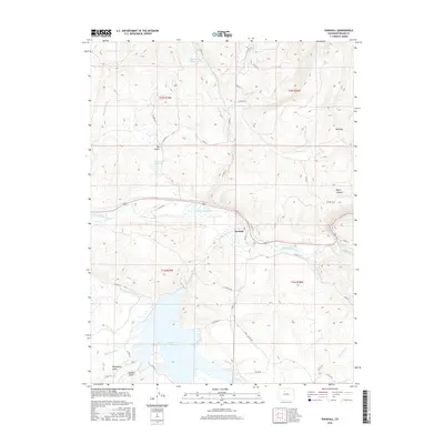 2016 Parshall2016 Print · USGSCovers Parshall, including Grand County, United States, and other nearby areas
 - 2019 Map of Parshall, 2019 Print
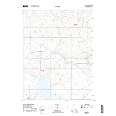 2019 Parshall2019 Print · USGSCovers Parshall, including Grand County, United States, and other nearby areas
 - 2022 Map of Parshall, 2022 Print
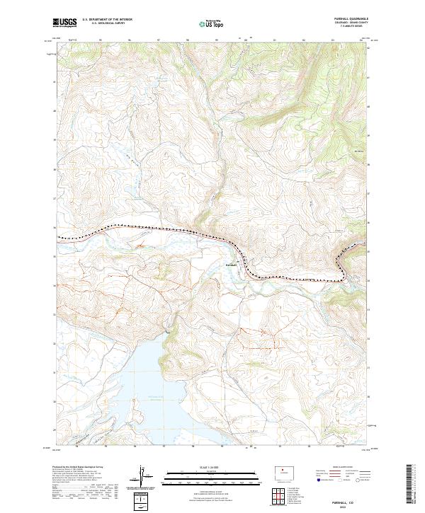 2022 Parshall2022 Print · USGSGrand County high country comes into focus in this contemporary survey of the river valleys and reservoirs surrounding Parshall. Modern researchers can trace the intricate irrigation network of the Big Lake Ditch and the shoreline of the Williams Fork Reservoir.
End of results
Showing maps 1-16 of 16
Top cities near Parshall
Frequently asked questions
- What are the different types of historical maps available for Parshall?
- What is the oldest map of Parshall?
- Where can I purchase historical maps of Parshall for my home or office?
- Where can I download high-res historical maps of Parshall?
- Are there historical topographic maps available for Parshall?
- Is there historical aerial imagery available for Parshall?
- Where are historical maps of Parshall sourced from?