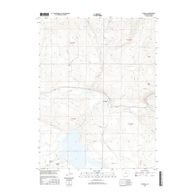
2016 Map of Parshall
USGS Topo · Published 2016About this map
The settlement of Parshall serves as a central point in this mountain valley landscape, situated where the Colorado River meets the northern reach of the Williams Fork. The topography is defined by the significant hydrological engineering of the region, including the expansive Williams Fork Reservoir and smaller storage sites like Rock Creek Reservoir and Musgrave Reservoir. These water resources are managed through a complex system of irrigation infrastructure, notably the Pheney Lateral Ditch, Musgrave Ditch, and Big Lake Ditch, which redirect flow across the high-elevation terrain.
Find a feature on this map
49 named features on this map. Tap any name to fly to it.
Don’t see what you’re looking for? This feature index may not catch every label — zoom into the map to look around manually.
Map Details
Editions of this 2016 Parshall Map
This is the sole edition of this map. No revisions or reprints were ever made.
Other maps of this area

1933 · Mt. Powell
USGS Topo · 1:48,000

1933 · Ute Peak
USGS Topo · 1:62,500

1937 · Ute Peak
USGS Topo · 1:62,500

1940 · Mount Powell
USGS Topo · 1:62,500

1954 · Craig
USGS Topo · 1:250,000

1956 · Kremmling
USGS Topo · 1:62,500

1957 · Craig
USGS Topo · 1:250,000

1957 · Hot Sulphur Springs
USGS Topo · 1:62,500

1957 · Leadville
USGS Topo · 1:250,000

1958 · Craig
USGS Topo · 1:250,000