Old Maps of Cuchara, Colorado for Genealogy
Trace your family roots with 14 historic maps of Cuchara. These high-res maps reveal old neighborhoods, homesites, landmarks, and streets — helping you uncover where your ancestors lived and how the area evolved over time.
- Explore historic neighborhoods: Identify where your relatives may have lived in the 1800s or 1900s.
- Compare maps over time: Trace the changes in streets, buildings, and landmarks for multi-generational research.
- Perfect for genealogy & ancestry research: Used by family historians and researchers to map out lineage and migration.
These maps are an incredible resource for exploring your personal connection to Cuchara's past.
Cuchara, CO maps
(14)- 1954 Map of Trinidad, 1963 Print
 1954 Trinidad1963 Print · USGSSouthern Colorado is captured here during the mid-fifties, showing the vital rail-and-river connections between the San Luis Valley and the eastern foothills. Researchers can trace the Denver and Rio Grande Western line and locate rural landmarks like Malachite School and San Luis.2 unique versions available
 - 1955 Map of Trinidad, 1976 Print
 1955 Trinidad1976 Print · USGSSouthern Colorado during the mid-fifties is defined by the high-altitude agriculture of the San Luis Valley and the peaks of the Culebra Range. Genealogists can trace early settlements and rural schoolhouses like Medina Plaza, San Luis, and the Trujillo Creek School.
 - 1958 Map of Trinidad
 1958 Trinidad1958 Print · USGSSouthern Colorado in the late fifties was a landscape of high-altitude agriculture and coal production, centered on the San Luis Valley. Local historians can trace old community centers like the Malachite School or follow the mining and rail activity near Walsenburg and the Allen Mine.
 - 1959 Map of Trinidad
 1959 Trinidad1959 Print · USGSThe San Luis Valley and the high Sangre de Cristo peaks are documented here in the late fifties, during a period of steady ranching and rail activity. Genealogy researchers can locate family-named landmarks and rural institutions like Trujillo Creek School and the historic San Luis settlement.
 - 1963 Map of Cuchara, 1966 Print
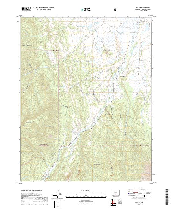
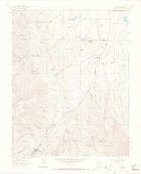 1963 Cuchara1966 Print · USGSIn the mid-1960s, the high country of Huerfano County shows a mix of alpine forest and early settlement near the Cucharas River. Researchers can trace the layout of La Veta and Cuchara, or locate landmarks like Goemmer Butte and Sulphur Springs.4 unique versions available
 - 1967 Map of Cuchara, 1986 Print
 1967 Cuchara1986 Print · USGSSouthern Colorado in the late sixties reveals a landscape of high-altitude forests and early water reclamation. Genealogists and researchers can trace 4WD routes to the Linscott Mine, locate the waters of Marker Lake, or study the remote settlement at Cuchara.2 unique versions available
 - 1983 Map of Alamosa
 1983 Alamosa1983 Print · USGSThe San Luis Valley was transitioning through the early eighties, with its historic plazas and rail corridors still clearly defined. Genealogists can trace family roots through the settlements of San Luis, Manassa, and San Acacio, or locate the Old Railroad Grade and the Denver and Rio Grande Western tracks.2 unique versions available
 - 1988 Map of Trinidad
 1988 Trinidad1988 Print · USGSSouthern Colorado in the late eighties reveals a landscape of high-altitude farming and mountain rail corridors. Genealogists and historians can trace the foundations of San Luis and Fort Garland or find old stops on the D & R G W RR and A T & S F Ry.
 - 1994 Map of Cuchara, 2001 Print
 1994 Cuchara2001 Print · USGSHuerfano County during the mid-nineties shows the transition from mountain ranching to high-country recreation. Map enthusiasts can locate the Linscott Mine, trace the Cucharas River past Three Bridges, and find landmarks like Devils Stairsteps and Goemmer Butte.
 - 2011 Map of Cuchara, 2011 Print
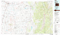
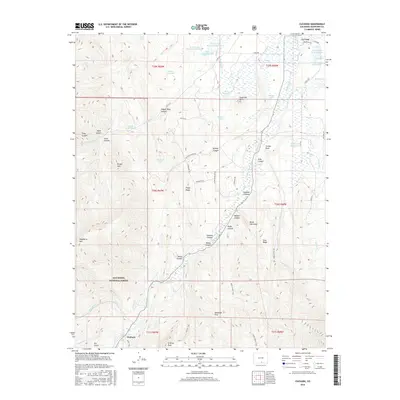
 2011 Cuchara2011 Print · USGSCovers Cuchara, including La Veta, Huerfano County, and other nearby areas
 - 2013 Map of Cuchara, 2013 Print
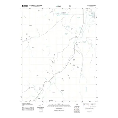
 2013 Cuchara2013 Print · USGSCovers Cuchara, including La Veta, Huerfano County, and other nearby areas
 - 2016 Map of Cuchara, 2016 Print
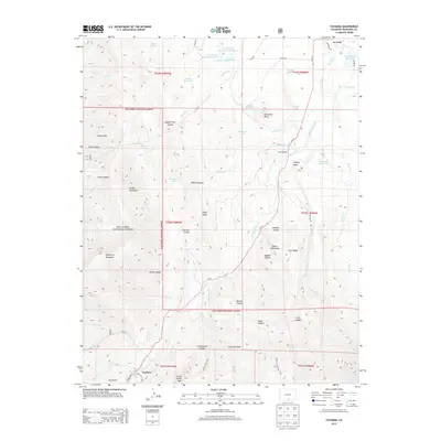
 2016 Cuchara2016 Print · USGSCovers Cuchara, including La Veta, Huerfano County, and other nearby areas
 - 2019 Map of Cuchara, 2019 Print
 2019 Cuchara2019 Print · USGSCovers Cuchara, including La Veta, Huerfano County, and other nearby areas
 - 2022 Map of Cuchara, 2022 Print
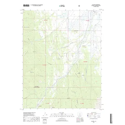
 2022 Cuchara2022 Print · USGSHuerfano County's high country is captured here in the early twenty-first century, showing the enduring settlement patterns around La Veta and Cuchara. Genealogists and hikers can trace water rights through the Butte Ditch or locate landmarks like Goemmer Butte and Sulphur Springs.
End of results
Showing maps 1-14 of 14
Top cities near Cuchara
Frequently asked questions
- What are the different types of historical maps available for Cuchara?
- What is the oldest map of Cuchara?
- Where can I purchase historical maps of Cuchara for my home or office?
- Where can I download high-res historical maps of Cuchara?
- Are there historical topographic maps available for Cuchara?
- Is there historical aerial imagery available for Cuchara?
- Where are historical maps of Cuchara sourced from?