1970s Maps of Lake County, Colorado
Explore 6 historic maps of Lake County from the 1970s. These maps offer a rare glimpse into what life looked like during the 1970s — showing old roads, neighborhoods, homes, and landmarks that have changed or disappeared over time.
Whether you're researching your family's past, planning a metal detecting trip, or studying how Lake County's landscape evolved across the 1970s, these high-resolution maps are a powerful tool for exploring the history of this region.
- Focus on a specific era: All maps on this page are from the 1970s, giving you a focused view of this time period.
- See what’s changed: Compare century-old streets, trails, and buildings to today's modern landscape using overlays and satellite layers.
- Research with precision: Use these maps for genealogy, historical research, land use analysis, or educational projects.
- View, download, or print: Maps are fully viewable online in high resolution, and can be downloaded or printed for your own records.
Start exploring Lake County's history through authentic maps from the 1970s. This is your window into the past.
Lake County, CO maps
(6)- 1970 Map of Nast, 1973 Print
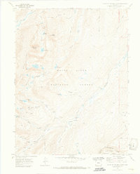
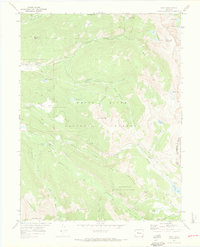 1970 Nast1973 Print · USGSThe high Rockies of Pitkin and Eagle counties are shown here in the 1970s, as massive water diversion projects reshaped the local hydrology. Researchers can trace the path of the Charles H. Boustead Tunnel, locate the settlement of Nast, or find the high-altitude Kiln near Sellar Park.3 unique versions available
 - 1970 Map of Homestake Reservoir, 1973 Print
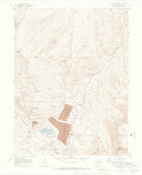
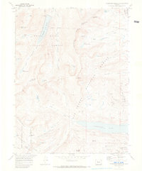 1970 Homestake Reservoir1973 Print · USGSThe high alpine country of the Sawatch Range is documented here during a period of significant water engineering and mining legacy. You can trace the historic Old RR Grade toward Hagerman Pass or locate old mine workings like the St Kevin Shaft and Homestake Mine.2 unique versions available
 - 1970 Map of Leadville North, 1973 Print
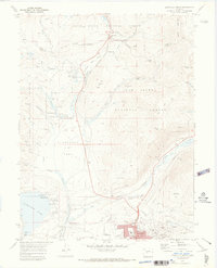 1970 Leadville North1973 Print · USGSIn the early 1970s, the mountain slopes north of Leadville remained a complex landscape of active mining and growing alpine recreation. Researchers can trace historic claims like the Matchless Mine, locate the Evergreen Cem, and explore the rail lines leading toward Tennessee Pass.4 unique versions available
 - 1970 Map of Climax, 1973 Print
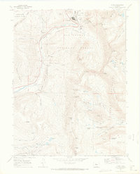 1970 Climax1973 Print · USGSHigh in the Rocky Mountains during the early seventies, this map captures the industrial intensity of Climax and the surrounding peaks. Trace old mining operations like the North London Mine, American Mill, and the steep route over Mosquito Pass.6 unique versions available
 - 1970 Map of Mount Of The Holy Cross, 1973 Print
 1970 Mount Of The Holy Cross1973 Print · USGSThe high peaks of Eagle County are captured here in the early seventies, just as massive water diversion projects reached completion. Researchers can find old mining sites near Holy Cross City and trace the complex Missouri Homestake Aqueduct and Gold Park Cem.5 unique versions available
 - 1970 Map of Copper Mountain, 1973 Print
 1970 Copper Mountain1973 Print · USGSIn the early 1970s, this high-country landscape between Summit and Lake counties shows the dramatic scale of industrial mining. Genealogists and historians can trace the foundations of Kokomo and locate legacy shafts like the Queen of the West Mine.4 unique versions available
End of results
Showing maps 1-6 of 6
Top cities of Lake County
Frequently asked questions
- What are the different types of historical maps available for Lake County?
- What is the oldest map of Lake County?
- Where can I purchase historical maps of Lake County for my home or office?
- Where can I download high-res historical maps of Lake County?
- Are there historical topographic maps available for Lake County?
- Is there historical aerial imagery available for Lake County?
- Where are historical maps of Lake County sourced from?