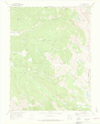
1970 Map of Nast
USGS Topo · Published 1973About this map
The Fryingpan River and its multiple forks define this 1970 landscape, where the White River National Forest meets the San Isabel National Forest at the Continental Divide. The small settlement of Nast sits along the riverbank, serving as a hub for the surrounding backcountry. To the west, Horseshoe Bend Ranch and the Elk Wallow Campground mark points of human activity amidst the high-altitude terrain.
Find a feature on this map
52 named features on this map. Tap any name to fly to it.
Don’t see what you’re looking for? This feature index may not catch every label — zoom into the map to look around manually.
Map Details
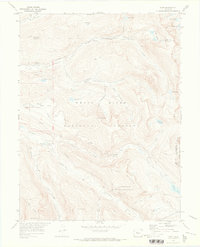
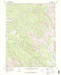
Editions of this 1970 Nast Map
3 editions found
Other maps of this area

1889 · Leadville
USGS Topo · 1:125,000

1891 · Leadville
USGS Topo · 1:125,000

1909 · Mount Jackson
USGS Topo · 1:125,000

1911 · Mount Jackson
USGS Topo · 1:125,000

1935 · Mount Elbert
USGS Topo · 1:62,500

1938 · Mount Elbert
USGS Topo · 1:62,500

1939 · Mount Elbert
USGS Topo · 1:62,500

1942 · Leadville
USGS Topo · 1:125,000

1949 · Holy Cross
USGS Topo · 1:62,500

1951 · Holy Cross
USGS Topo · 1:62,500