2010s Maps of Lake County, Colorado
Explore 56 historic maps of Lake County from the 2010s. These maps offer a rare glimpse into what life looked like during the 2010s — showing old roads, neighborhoods, homes, and landmarks that have changed or disappeared over time.
Whether you're researching your family's past, planning a metal detecting trip, or studying how Lake County's landscape evolved across the 2010s, these high-resolution maps are a powerful tool for exploring the history of this region.
- Focus on a specific era: All maps on this page are from the 2010s, giving you a focused view of this time period.
- See what’s changed: Compare century-old streets, trails, and buildings to today's modern landscape using overlays and satellite layers.
- Research with precision: Use these maps for genealogy, historical research, land use analysis, or educational projects.
- View, download, or print: Maps are fully viewable online in high resolution, and can be downloaded or printed for your own records.
Start exploring Lake County's history through authentic maps from the 2010s. This is your window into the past.
Lake County, CO maps
(56)- 2011 Map of Mount Sherman, 2011 Print
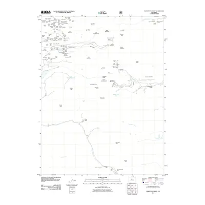 2011 Mount Sherman2011 Print · USGSThe high-elevation mines of the Mosquito Range are documented here in the early twenty-first century. Genealogists and historians can trace industrial footprints at Breece Hill and Printer Boy Hill, or locate high-altitude landmarks like Weston Pass.
- 2011 Map of South Peak, 2011 Print
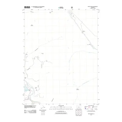 2011 South Peak2011 Print · USGSChaffee County high country is shown in the early twenty-first century, spanning the divide between the Arkansas and South Platte watersheds. Geologists and local historians can trace legacy mining sites like Casey Mine and the Elco Placer Mine or locate the Clear Creek Reservoir.
- 2011 Map of Granite, 2011 Print
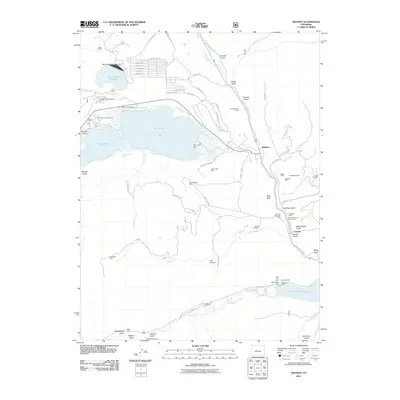 2011 Granite2011 Print · USGSThe Arkansas River corridor and its surrounding mining districts are detailed here during the early twenty-first century. Genealogists and historians can trace old claims like the Pennsylvania Placer and Columbine Mine or locate the Granite Cemetery and Balltown settlement.
- 2011 Map of Mount Elbert, 2011 Print
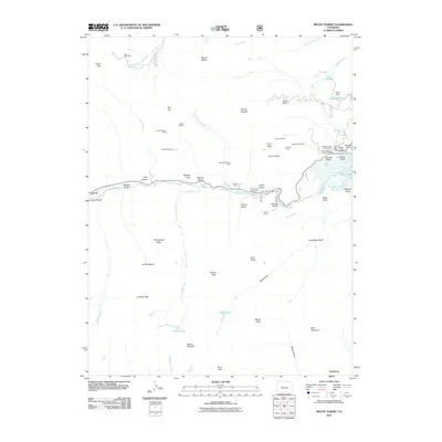 2011 Mount Elbert2011 Print · USGSHigh in the Sawatch Range during the early twenty-first century, this survey captures a landscape defined by soaring peaks and deep-rooted mining history. Researchers can trace the legacy of mineral extraction through the Golden Fleece Mine and Bengal Tiger Mine or locate historic settlements like Everett and Vicksburg.
- 2011 Map of Leadville South, 2011 Print
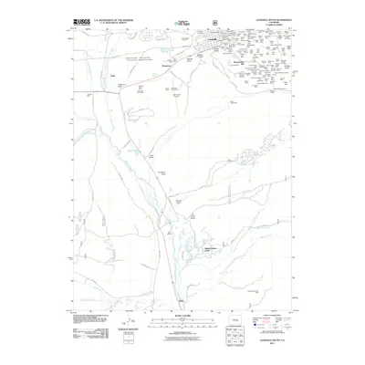 2011 Leadville South2011 Print · USGSThe high-elevation mining district around Leadville is shown here in the early twenty-first century, preserving the footprints of over a century of extraction. Researchers can trace dozens of specific claims and shafts, from the Only Chance Mine to the Bessie Wilgus Shaft and Saint Joseph Cemetery.
- 2011 Map of Climax, 2011 Print
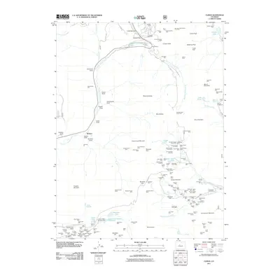 2011 Climax2011 Print · USGSThe high peaks and mining claims of Lake County are captured here in the early twenty-first century. Genealogists and industrial historians can trace the intricate network of portals and mines including the Climax Mine, Joe Dandy Mine, and Fremont Pass.
- 2011 Map of Nast, 2011 Print
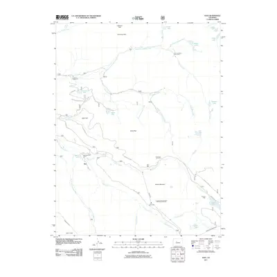 2011 Nast2011 Print · USGSThe Fryingpan River headwaters are shown in the early twenty-first century, revealing a landscape defined by significant water engineering and alpine mining. Trace the complex routes of the Nast Tunnel, Ivanhoe Dam, and old workings at the Cunningham Tunnel Mine.
- 2011 Map of Mount Massive, 2011 Print
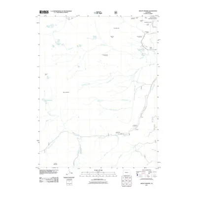 2011 Mount Massive2011 Print · USGSThe high peaks and mining claims of Colorado's Sawatch Range are captured here during the early twenty-first century. Genealogists and researchers can trace the historical footprint of operations like the Mexican Mine, Little Major Mine, and the Leadville National Fish Hatchery.
- 2011 Map of Mount Champion, 2011 Print
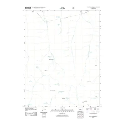 2011 Mount Champion2011 Print · USGSHigh in the Colorado Rockies during the early twenty-first century, this area shows the intersection of alpine wilderness and industrial infrastructure. Researchers can trace the legacy of high-altitude extraction at the Champion Mill and Eureka Mine, or locate engineering landmarks like the South Fork Tunnel.
- 2011 Map of Leadville North, 2011 Print
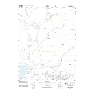 2011 Leadville North2011 Print · USGSThe high Rockies mining district around Leadville is captured here in the early twenty-first century, showcasing a landscape defined by deep shafts and alpine tunnels. Researchers can trace the heritage of the Silver City through sites like Evergreen Cemetery, the Jennie June Mine, and Leadville Junction.
- 2011 Map of Mount of the Holy Cross, 2011 Print
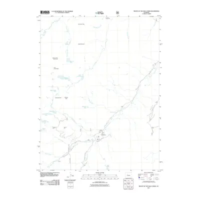 2011 Mount of the Holy Cross2011 Print · USGSHigh in the Sawatch Range, this 2011 survey captures the mining history and alpine terrain surrounding Mount of the Holy Cross. Trace historic sites like Holy Cross City, the Gold Park Cemetery, and the Glengarry Mine.
- 2011 Map of Homestake Reservoir, 2011 Print
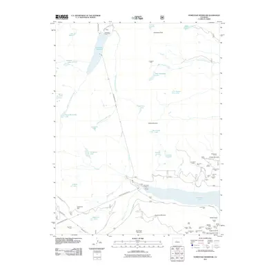 2011 Homestake Reservoir2011 Print · USGSColorado's high Sawatch Range is documented here in a period of advanced water engineering and deep-rooted mining history. You can trace the complex tunnel systems like the Charles H Boustead Tunnel or locate historic mineral claims including the Turquoise Chief Mine and Saint Kevin Shaft.
- 2011 Map of Independence Pass, 2011 Print
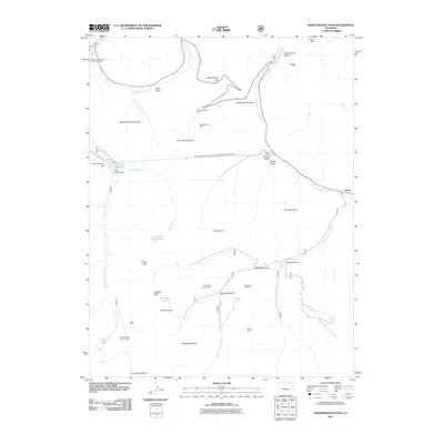 2011 Independence Pass2011 Print · USGSThe high alpine country of the Continental Divide comes into focus during the early twenty-first century, showing the intersection of historic mining and modern water infrastructure. Researchers can trace the locations of the Champion Mine, Saturday Night Mine, and the settlement at Everett.
- 2011 Map of Copper Mountain, 2011 Print
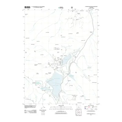 2011 Copper Mountain2011 Print · USGSThe Tenmile Range of Colorado appears here as a complex landscape of industrial mining and alpine recreation. Researchers can trace the heritage of dozens of named lodes, including the Queen-of-the-West Mine, Victory Tunnel Mine, and the Wheel of Fortune Mine.
- 2013 Map of Mount of the Holy Cross, 2013 Print
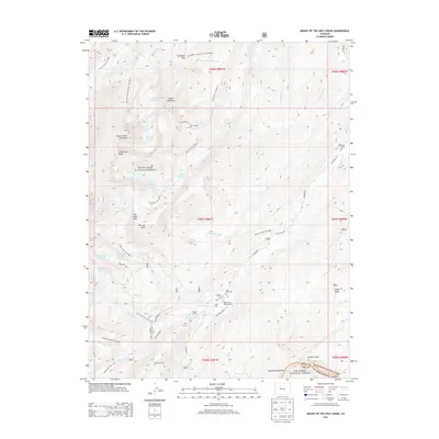 2013 Mount of the Holy Cross2013 Print · USGSThe Eagle County high country near the Continental Divide is captured here in the early twenty-first century. Researchers can trace historic sites like Gold Park Cem and the Missouri Tunnel alongside the alpine waters of Lake Constantine.
- 2013 Map of Mount Elbert, 2013 Print
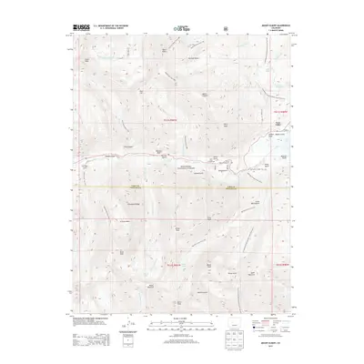 2013 Mount Elbert2013 Print · USGSThe Sawatch Range peaks dominate this early 21st-century survey, centered on the state's highest summit. Mountaineers and historians can trace the Continental Divide Trail and look for local landmarks like Twin Lakes or Bull Hill.
- 2013 Map of Climax, 2013 Print
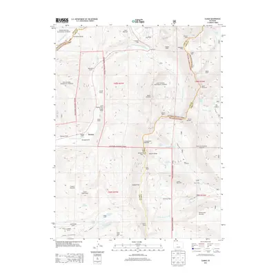 2013 Climax2013 Print · USGSHigh in the Colorado Rockies during the early twenty-first century, this survey tracks the intersection of mining industry and high-altitude wilderness. Trace the industrial footprint of the North London Mill or the legacy of the Phillipson Portal near Birdseye.
- 2013 Map of Mount Massive, 2013 Print
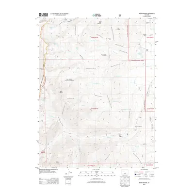 2013 Mount Massive2013 Print · USGSHigh in the Sawatch Range during the early twenty-first century, this area showcases the alpine wilderness surrounding Colorado's second-highest peak. Trace the historic paths of the Continental Divide Trail and locate landmarks like the Leadville National Fish Hatchery and Halfmoon Campground.
- 2013 Map of Mount Sherman, 2013 Print
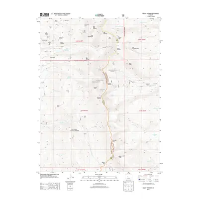 2013 Mount Sherman2013 Print · USGSThe high peaks of the Mosquito Range take center stage in this 2013 survey, marking the intersection of the Pike and San Isabel National Forests. Genealogists and historians can trace high-altitude landmarks and mining-related names like Black Cloud Tailings Pond, Mount Sherman, and Dyer Amphitheater.
- 2013 Map of South Peak, 2013 Print
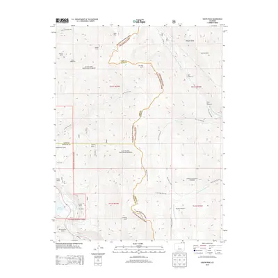 2013 South Peak2013 Print · USGSHigh in the Mosquito Range during the early twenty-first century, this map shows a landscape defined by the Continental Divide's headwaters. Researchers can trace the paths of Low Pass Trail 1518 and Rich Creek Trail 616 past South Peak and Buffalo Meadows.
- 2013 Map of Leadville South, 2013 Print
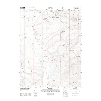 2013 Leadville South2013 Print · USGSThe high country of Lake County reveals its deep mining and water-management history in the early 2000s. Researchers can trace the industrial footprint of the Resurrection Mill and find family-history markers at Saint Joseph Cem or the settlement at Stringtown.
- 2013 Map of Homestake Reservoir, 2013 Print
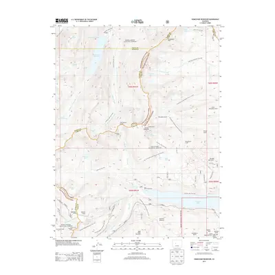 2013 Homestake Reservoir2013 Print · USGSHigh alpine passes and engineering history define the Continental Divide at the borders of Eagle, Lake, and Pitkin counties. Researchers can trace historic railroad routes through Hagerman Tunnel or locate water diversion projects like Homestake Reservoir and the Charles H Boustead Tunnel.
- 2013 Map of Independence Pass, 2013 Print
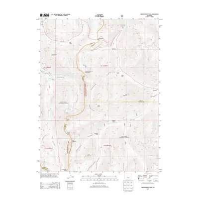 2013 Independence Pass2013 Print · USGSHigh in the Sawatch Range during the early twenty-first century, this map documents the steep terrain where the Roaring Fork River begins. Hikers and historians can trace the Continental Divide and locate remote sites like Everett and Grizzly Reservoir.
- 2013 Map of Leadville North, 2013 Print
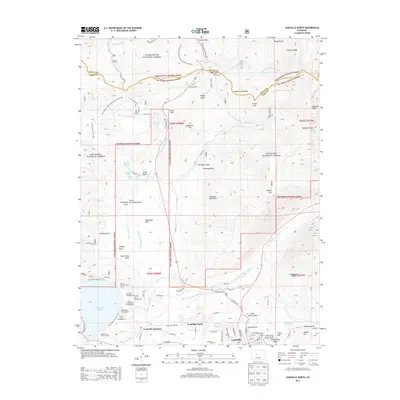 2013 Leadville North2013 Print · USGSHigh in the Colorado Rockies during the early twenty-first century, this map shows the enduring landscape of a historic mining and recreation hub. Trace the origins of the local population at Evergreen Cem or explore the alpine transit routes through Tennessee Pass and the Tenth Mtn Div Mem Hwy.
- 2013 Map of Granite, 2013 Print
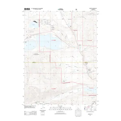 2013 Granite2013 Print · USGSHigh-altitude Colorado history comes alive in the early 2010s where the Arkansas River meets the historic mountain trails. Trace the settlement of Granite, find the Granite Cemetery, and follow the Continental Divide Trail as it skirts the shores of Twin Lakes.
Showing maps 1-25 of 56
Top cities of Lake County
Frequently asked questions
- What are the different types of historical maps available for Lake County?
- What is the oldest map of Lake County?
- Where can I purchase historical maps of Lake County for my home or office?
- Where can I download high-res historical maps of Lake County?
- Are there historical topographic maps available for Lake County?
- Is there historical aerial imagery available for Lake County?
- Where are historical maps of Lake County sourced from?