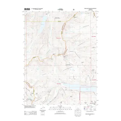
2013 Map of Homestake Reservoir
USGS Topo · Published 2013About this map
Homestake Peak and the high ridges of the Continental Divide define this landscape where the boundaries of Eagle, Pitkin, and Lake counties converge. This 2013 survey documents a sophisticated network of trans-basin water diversion and historic mountain crossings. Engineering feats are prominent, notably the Homestake Tunnel and the Charles H Boustead Tunnel, which move water beneath the divide. The map also traces the legacy of the Colorado Midland Railway through the Hagerman Tunnel and over Hagerman Pass, marking a corridor of significant early transportation history. Recreation areas like Mary Queen Campground near Lake Fork and the waters of Turquoise Lake and Homestake Reservoir show the modern utility of these high-altitude basins. Dozens of alpine tarns, including Lonesome Lake and Paradise Lakes, dot the glaciated terrain between the White River National Forest and San Isabel National Forest.
Find a feature on this map
72 named features on this map. Tap any name to fly to it.
Don’t see what you’re looking for? This feature index may not catch every label — zoom into the map to look around manually.
Map Details
Editions of this 2013 Homestake Reservoir Map
This is the sole edition of this map. No revisions or reprints were ever made.
Other maps of this area
1889 · Leadville
USGS Topo · 1:125,000
1891 · Leadville
USGS Topo · 1:125,000
1909 · Mount Jackson
USGS Topo · 1:125,000
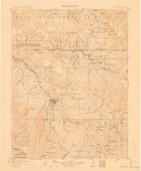
1911 · Mount Jackson
USGS Topo · 1:125,000
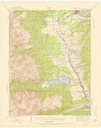
1935 · Mount Elbert
USGS Topo · 1:62,500
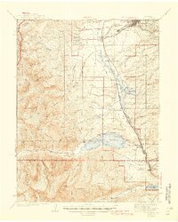
1938 · Mount Elbert
USGS Topo · 1:62,500
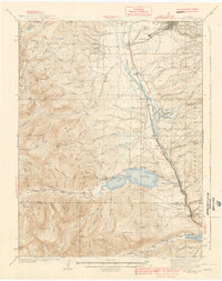
1939 · Mount Elbert
USGS Topo · 1:62,500
1942 · Leadville
USGS Topo · 1:125,000
1949 · Holy Cross
USGS Topo · 1:62,500
1951 · Holy Cross
USGS Topo · 1:62,500