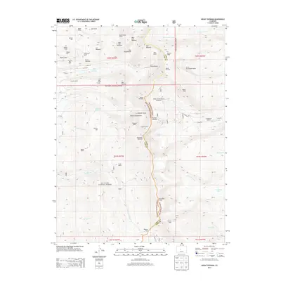
2013 Map of Mount Sherman
USGS Topo · Published 2013About this map
Mount Sherman and the high peaks of the Mosquito Range define the central axis of this high-altitude landscape, which straddles the boundary between Pike National Forest and San Isabel National Forest. The map documents a legacy of industrial mountain activity, notably at the Black Cloud Tailings Pond and within the dramatic cirques of the Dyer Amphitheater and Iowa Amphitheater. This terrain is a complex network of glacial landforms and steep drainages, where named gulches like Pigtail Gulch and Alps Gulch descend from heights such as Gemini Peak and Peerless Mountain. Water systems including Sacramento Creek and the headwaters of Twelvemile Creek carve through the landscape, while high-elevation features like Leavick Tarn and Empire Reservoir indicate the management of mountain water resources in this rugged Colorado mining and wilderness district.
Find a feature on this map
68 named features on this map. Tap any name to fly to it.
Don’t see what you’re looking for? This feature index may not catch every label — zoom into the map to look around manually.
Map Details
Editions of this 2013 Mount Sherman Map
This is the sole edition of this map. No revisions or reprints were ever made.
Other maps of this area
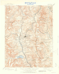
1889 · Leadville
USGS Topo · 1:125,000
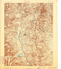
1891 · Leadville
USGS Topo · 1:125,000
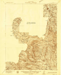
1934 · Climax
USGS Topo · 1:48,000
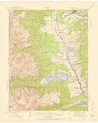
1935 · Mount Elbert
USGS Topo · 1:62,500
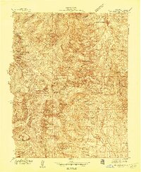
1938 · Mt. Lincoln
USGS Topo · 1:48,000
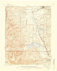
1938 · Mount Elbert
USGS Topo · 1:62,500
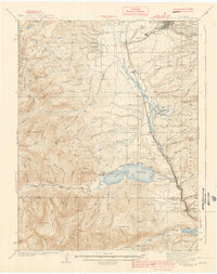
1939 · Mount Elbert
USGS Topo · 1:62,500
1942 · Leadville
USGS Topo · 1:125,000
1945 · Mount Lincoln
USGS Topo · 1:62,500
1949 · Holy Cross
USGS Topo · 1:62,500