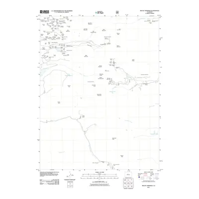
2011 Map of Mount Sherman
USGS Topo · Published 2011About this map
Mount Sherman and the Mosquito Range dominate this landscape, which is heavily marked by the legacy of high-altitude mining. The northwest corner of the map reveals an incredibly dense concentration of historic mining operations around Breece Hill and Printer Boy Hill. Notable industrial sites include the Howard Shaft, Ontario Shaft, and the Ibex Number 2 Mine, reflecting the intensive extraction efforts that once defined this portion of the Colorado Rockies. Water management for these operations is evident through features like Empire Reservoir and several named gulches. To the south, the terrain transitions toward the crossing at Weston Pass, a key historical thoroughfare. Natural landmarks such as Leavick Tarn and Twelvemile Lake provide contrast to the industrial scars, illustrating the intersection of mining geography and alpine hydrology.
Find a feature on this map
133 named features on this map. Tap any name to fly to it.
Don’t see what you’re looking for? This feature index may not catch every label — zoom into the map to look around manually.
Map Details
Editions of this 2011 Mount Sherman Map
This is the sole edition of this map. No revisions or reprints were ever made.
Other maps of this area

1889 · Leadville
USGS Topo · 1:125,000

1891 · Leadville
USGS Topo · 1:125,000

1934 · Climax
USGS Topo · 1:48,000

1935 · Mount Elbert
USGS Topo · 1:62,500

1938 · Mt. Lincoln
USGS Topo · 1:48,000

1938 · Mount Elbert
USGS Topo · 1:62,500

1939 · Mount Elbert
USGS Topo · 1:62,500

1942 · Leadville
USGS Topo · 1:125,000

1945 · Mount Lincoln
USGS Topo · 1:62,500

1949 · Holy Cross
USGS Topo · 1:62,500