Old Maps of Larimer County, Colorado
Explore 101 old maps of Larimer County, spanning from 1902 to today. These high-resolution historic maps reveal how streets, neighborhoods, landmarks, and natural features evolved over time — perfect for genealogy, metal detecting, research, and local history exploration.
What you can do with these maps:
- See how Larimer County changed over time: Compare historical maps to modern-day views to trace roads, homesites, rail lines & more.
- View detailed metadata: Each map includes creators, publishers, year, scale, and archive source.
- Overlay maps with satellite & LiDAR: Visualize the past alongside modern tools to explore terrain & human change.
- Trusted historical sources: Maps sourced from the USGS, Library of Congress, and other archives.
- Access maps your way: View online, download high-res files, or order prints for personal or research use.
Start exploring old maps of Larimer County to uncover forgotten places, hidden landmarks, and the deep history beneath your feet.
Larimer County, CO maps
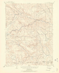
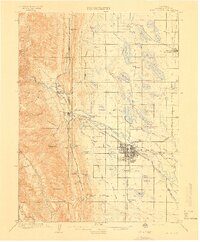
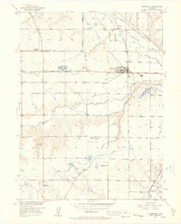
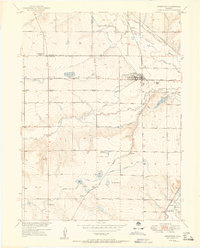
(101)- 1902 Map of Greeley
 1902 Greeley1902 Print · USGSCovers Larimer County, including Fort Collins, Thornton, and other nearby areas4 unique versions available
 - 1905 Map of Mount Olympus, 1955 Print
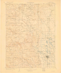
 1905 Mount Olympus1955 Print · USGSCovers Larimer County, including Estes Park, Noland, and other nearby areas2 unique versions available
 - 1906 Map of Loveland, 1954 Print
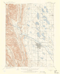
 1906 Loveland1954 Print · USGSCovers Larimer County, including Fort Collins, Loveland, and other nearby areas5 unique versions available
 - 1906 Map of Fort Collins, 1955 Print
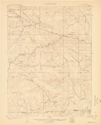
 1906 Fort Collins1955 Print · USGSCovers Larimer County, including Fort Collins, Wellington, and other nearby areas4 unique versions available
 - 1907 Map of Mount Olympus
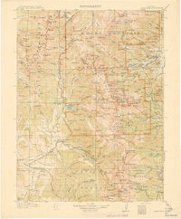
 1907 Mount Olympus1907 Print · USGSCovers Larimer County, including Estes Park, Noland, and other nearby areas4 unique versions available
 - 1907 Map of Livermore, 1954 Print
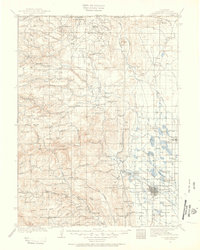 1907 Livermore1954 Print · USGSCovers Larimer County, including Fort Collins, Wellington, and other nearby areas2 unique versions available
 - 1908 Map of Loveland
 1908 Loveland1908 Print · USGSCovers Larimer County, including Fort Collins, Loveland, and other nearby areas7 unique versions available
 - 1908 Map of Fort Collins
 1908 Fort Collins1908 Print · USGSCovers Larimer County, including Fort Collins, Wellington, and other nearby areas4 unique versions available
 - 1908 Map of Eaton, 1957 Print
 1908 Eaton1957 Print · USGSCovers Larimer County, including Fort Collins, Windsor, and other nearby areas
 - 1909 Map of Livermore
 1909 Livermore1909 Print · USGSCovers Larimer County, including Fort Collins, Wellington, and other nearby areas4 unique versions available
 - 1910 Map of Eaton
 1910 Eaton1910 Print · USGSCovers Larimer County, including Fort Collins, Windsor, and other nearby areas3 unique versions available
 - 1915 Map of Longs Peak
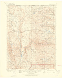
 1915 Longs Peak1915 Print · USGSCovers Larimer County, including Estes Park, Granby, and other nearby areas3 unique versions available
 - 1916 Map of Home, 1954 Print
 1916 Home1954 Print · USGSCovers Larimer County, including Red Feather Lakes, Kinikinik, and other nearby areas2 unique versions available
 - 1919 Map of Rocky Mountain National Park
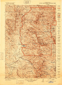 1919 Rocky Mountain National Park1919 Print · USGSCovers Larimer County, including Estes Park, Granby, and other nearby areas8 unique versions available
 - 1920 Map of Home
 1920 Home1920 Print · USGSCovers Larimer County, including Red Feather Lakes, Kinikinik, and other nearby areas4 unique versions available
 - 1950 Map of Windsor
 1950 Windsor1950 Print · USGSCovers Larimer County, including Fort Collins, Greeley, and other nearby areas8 unique versions available
 - 1950 Map of Kings Canyon, 1959 Print
 1950 Kings Canyon1959 Print · USGSCovers Larimer County, including Kings Canyon, Albany County, and other nearby areas5 unique versions available
 - 1950 Map of Johnstown, 1960 Print
 1950 Johnstown1960 Print · USGSCovers Larimer County, including Johnstown, Milliken, and other nearby areas5 unique versions available
 - 1951 Map of Johnstown
 1951 Johnstown1951 Print · USGSCovers Larimer County, including Johnstown, Milliken, and other nearby areas2 unique versions available
 - 1952 Map of Kings Canyon
 1952 Kings Canyon1952 Print · USGSCovers Larimer County, including Kings Canyon, Albany County, and other nearby areas2 unique versions available
 - 1954 Map of Greeley, 1966 Print
 1954 Greeley1966 Print · USGSCovers Larimer County, including Fort Collins, Thornton, and other nearby areas3 unique versions available
 - 1954 Map of Craig, 1973 Print
 1954 Craig1973 Print · USGSCovers Larimer County, including Craig, Steamboat Springs, and other nearby areas3 unique versions available
 - 1955 Map of Old Roach, 1957 Print
 1955 Old Roach1957 Print · USGSCovers Larimer County, including Albany County, United States, and other nearby areas5 unique versions available
 - 1955 Map of Eagle Hill, 1957 Print
 1955 Eagle Hill1957 Print · USGSCovers Larimer County, including Jackson County, United States, and other nearby areas4 unique versions available
 - 1955 Map of Shipman Mountain, 1957 Print
 1955 Shipman Mountain1957 Print · USGSCovers Larimer County, including Jackson County, United States, and other nearby areas6 unique versions available
Showing maps 1-25 of 101
Top cities of Larimer County
- Fort Collins historical maps
- Loveland historical maps
- Estes Park historical maps
- Wellington historical maps
- Red Feather Lakes historical maps
- Timnath historical maps
Frequently asked questions
- What are the different types of historical maps available for Larimer County?
- What is the oldest map of Larimer County?
- Where can I purchase historical maps of Larimer County for my home or office?
- Where can I download high-res historical maps of Larimer County?
- Are there historical topographic maps available for Larimer County?
- Is there historical aerial imagery available for Larimer County?
- Where are historical maps of Larimer County sourced from?