2020s Maps of Logan County, Colorado
Explore 47 historic maps of Logan County from the 2020s. These maps offer a rare glimpse into what life looked like during the 2020s — showing old roads, neighborhoods, homes, and landmarks that have changed or disappeared over time.
Whether you're researching your family's past, planning a metal detecting trip, or studying how Logan County's landscape evolved across the 2020s, these high-resolution maps are a powerful tool for exploring the history of this region.
- Focus on a specific era: All maps on this page are from the 2020s, giving you a focused view of this time period.
- See what’s changed: Compare century-old streets, trails, and buildings to today's modern landscape using overlays and satellite layers.
- Research with precision: Use these maps for genealogy, historical research, land use analysis, or educational projects.
- View, download, or print: Maps are fully viewable online in high resolution, and can be downloaded or printed for your own records.
Start exploring Logan County's history through authentic maps from the 2020s. This is your window into the past.
Logan County, CO maps
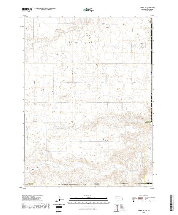
(47)- 2021 Map of Potter SE, 2021 Print
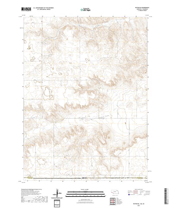 2021 Potter SE2021 Print · USGSThe Nebraska panhandle meets the Colorado border in the early 2020s, showing a landscape of high-plains agriculture and section-line roads. Researchers can trace land ownership and rural transit patterns along Sidney Draw and routes like Rd 12 and Rd 2.
 - 2021 Map of Easterly Airport, 2021 Print
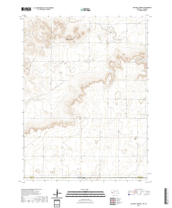 2021 Easterly Airport2021 Print · USGSThe high plains of the Nebraska-Colorado border are documented here in the early twenty-first century. Genealogists and land researchers can trace property boundaries and road networks near Mount Vernon, Chambers Spring, and the winding path of Sidney Draw.
 - 2021 Map of Sidney SE, 2021 Print
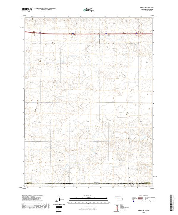 2021 Sidney SE2021 Print · USGSThe high plains border between Nebraska and Colorado is captured here in the early twenty-first century. Researchers can trace the section lines and rural paths like RD 12 as they cross the seasonal waters of Cow Creek and Cottonwood Creek.
 - 2021 Map of Kimball SE, 2021 Print
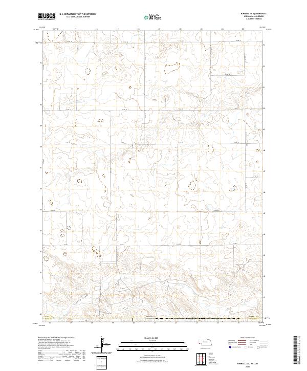 2021 Kimball SE2021 Print · USGSThe High Plains borderlands of Nebraska and Colorado are captured here in the early 2020s, showing a landscape defined by ranching and section lines. Genealogists and land researchers can trace the tri-county boundaries and the path of Sidney Draw near Co Rd 8.
 - 2021 Map of Potter SW, 2021 Print
 2021 Potter SW2021 Print · USGSThe high plains of the Nebraska-Colorado border are captured here in the early twenty-first century, showing a remote agricultural landscape. Genealogists and land researchers can trace the intersection of Kimball Co and Logan Co along Sidney Draw and Co Rd 18.
 - 2021 Map of Lodgepole SW, 2021 Print
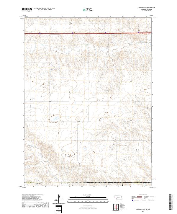 2021 Lodgepole SW2021 Print · USGSThe Nebraska-Colorado borderlands come into focus in this recent survey of the High Plains agricultural landscape. Genealogists and local historians can locate community landmarks like the Czech Slovensky Cemetery and the Swankee Cemetery along the Cow Creek drainage.
 - 2021 Map of Lorenzo, 2021 Print
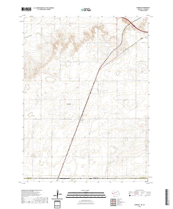 2021 Lorenzo2021 Print · USGSThe Nebraska-Colorado borderlands are documented in this contemporary survey, showing the rural high plains at the state line. Genealogists and historians can trace local boundaries through Lorenzo and the path of the historic Old Post Rd near Sidney Draw.
 - 2021 Map of Sidney Municipal Airport, 2021 Print
 2021 Sidney Municipal Airport2021 Print · USGSCheyenne County, Nebraska, and its border with Colorado are captured here in the early twenty-first century. Researchers can trace land ownership and infrastructure through Grand Prairie Cem, Old Post Rd, and the Fehringer Aerodrome.
 - 2022 Map of Leroy, 2022 Print
 2022 Leroy2022 Print · USGSLogan County, Colorado, is seen here in the early twenty-first century as a landscape of structured agricultural grids and prairie drainages. Researchers can locate the Leroy Cem and trace rural routes between Leroy and the seasonal waters of Sandy Cr.
 - 2022 Map of Uhler Ranch, 2022 Print
 2022 Uhler Ranch2022 Print · USGSLogan County ranching country is documented here in the early 2020s, showing the intersection of vital watercourses and the section-line road grid. Genealogists and land researchers can locate specific tracts along Wildhorse Cr or the paths of CO RD 67 and CO RD 30.
 - 2022 Map of Fleming, 2022 Print
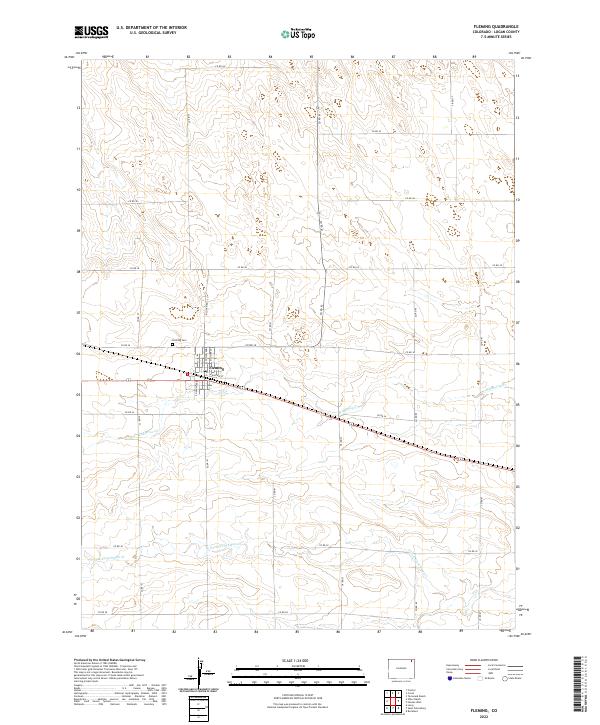 2022 Fleming2022 Print · USGSFleming and the surrounding plains of Logan County are captured here in the early 2020s, showing the intersection of rural life and natural drainages. Genealogists and local historians can trace the town grid from N Railway St to the Fleming Cem and follow the paths of Wildhorse Cr.
 - 2022 Map of Twin Buttes, 2022 Print
 2022 Twin Buttes2022 Print · USGSLogan County's high plains are revealed in this modern survey, showing a landscape defined by traditional cattle ranching and sophisticated irrigation. Genealogists and historians can locate Barber Cem and Lynch Twin Buttes Cem among landmarks like Twin Buttes.
 - 2022 Map of Tamarack Ranch, 2022 Print
 2022 Tamarack Ranch2022 Print · USGSLogan and Sedgwick counties appear in this recent mapping of the high plains, where the river-and-road network dictates the pace of life. Researchers can trace the path of the South Platte River and the historical water rights represented by Settlers Ditch and Tamarack Ditch.
 - 2022 Map of Haxtun West, 2022 Print
 2022 Haxtun West2022 Print · USGSHaxtun and the surrounding High Plains of Logan County are shown here in the 2020s. Researchers can locate the Haxtun Cem, the settlement of Dailey, and the intermittent flow of Wildhorse Cr across the agricultural sections.
 - 2022 Map of New Haven, 2022 Print
 2022 New Haven2022 Print · USGSThe northeastern Colorado high plains near New Haven are shown here as they appeared in the early 2020s. Researchers can trace the intersection of three counties and locate local landmarks like the New Haven Cem, Patent Cr, and Coyote Cr.
 - 2022 Map of Stoneham NE, 2022 Print
 2022 Stoneham NE2022 Print · USGSThe high plains along the Weld and Logan county line are captured here in the early twenty-first century, showcasing the intersection of ranching and conservation. Researchers can trace the drainage of Pawnee Cr and locate the East Stoneham Reservoir within the Pawnee National Grassland.
 - 2022 Map of Proctor, 2022 Print
 2022 Proctor2022 Print · USGSLogan County’s river valley comes into sharp focus in the 2020s, revealing a complex agricultural landscape defined by the South Platte’s flow. Genealogists and historians can trace the irrigation systems around Proctor, including the Harmony Ditch Number 2 and Chambers Ditch.
 - 2022 Map of Wild Horse Lake, 2022 Print
 2022 Wild Horse Lake2022 Print · USGSThe Logan County plains are captured here in the early twenty-first century, showing the intersection of natural drainage and rural infrastructure. Genealogists and researchers can trace local land divisions along CO RD 44 and landmarks like Wild Horse Lake and North Pawnee Pass.
 - 2022 Map of Clarkville, 2022 Print
 2022 Clarkville2022 Print · USGSEastern Colorado farm country is captured here in the early twenty-first century, showing the intersection of three counties. Researchers can locate the Bryant Cem and Rockland Cem, or trace the paths of Coyote Creek and Patent Creek.
 - 2022 Map of Rockland, 2022 Print
 2022 Rockland2022 Print · USGSEastern Colorado high plains agriculture and drainage patterns are on display in this contemporary survey of the Rockland area. Genealogists and local historians can trace the intersection of county lines and watercourses like Sandy Cr and S Fork Frenchman Cr.
 - 2022 Map of Kirchnavy Butte, 2022 Print
 2022 Kirchnavy Butte2022 Print · USGSThe high plains of Logan County are captured here in the early twenty-first century, showing a landscape shaped by relief and ranching roads. Researchers can trace land features like Kirchnavy Butte and remote water sources such as Dead Man Spring.
 - 2022 Map of Willard, 2022 Print
 2022 Willard2022 Print · USGSThe high plains of Logan County come into focus in the early twenty-first century, centered on the small settlement of Willard. Genealogists and researchers can trace the local landscape through Prairie Lawn Cem and the complex irrigation network of the North Sterling Canal.
 - 2022 Map of Dipper Spring, 2022 Print
 2022 Dipper Spring2022 Print · USGSThe high plains of the Colorado borderlands are preserved here within the Pawnee National Grassland during the early twenty-first century. Researchers can trace rural routes like CO RD 64 and locate natural landmarks such as Dipper Hill and Dipper Spring.
 - 2022 Map of Sterling North, 2022 Print
 2022 Sterling North2022 Print · USGSThe northern edge of Sterling and the South Platte River valley are captured in this recent survey of Logan County. Researchers can trace land use around Northeastern Junior College or locate family plots near the Sunset Memorial Gardens Cem.
 - 2022 Map of Julesburg Reservoir, 2022 Print
 2022 Julesburg Reservoir2022 Print · USGSThe eastern Colorado high plains are mapped here during the early twenty-first century, showcasing the vital irrigation networks of the South Platte valley. Researchers can trace historic water rights and local landmarks like Red Lion, Julesburg Reservoir, and the Harmony Ditch Number 1.
Showing maps 1-25 of 47
Top cities of Logan County
- Sterling historical maps
- Fleming historical maps
- Merino historical maps
- Peetz historical maps
- Iliff historical maps
- Crook historical maps
Frequently asked questions
- What are the different types of historical maps available for Logan County?
- What is the oldest map of Logan County?
- Where can I purchase historical maps of Logan County for my home or office?
- Where can I download high-res historical maps of Logan County?
- Are there historical topographic maps available for Logan County?
- Is there historical aerial imagery available for Logan County?
- Where are historical maps of Logan County sourced from?