2000s (21st Century) Maps of Grand Junction, Colorado
Explore 25 historic maps of Grand Junction from the 2000s (21st Century). These maps offer a rare glimpse into what life looked like during the 2000s — showing old roads, neighborhoods, homes, and landmarks that have changed or disappeared over time.
Whether you're researching your family's past, planning a metal detecting trip, or studying how Grand Junction's landscape evolved across the 2000s, these high-resolution maps are a powerful tool for exploring the history of this region.
- Focus on a specific era: All maps on this page are from the 2000s, giving you a focused view of this time period.
- See what’s changed: Compare century-old streets, trails, and buildings to today's modern landscape using overlays and satellite layers.
- Research with precision: Use these maps for genealogy, historical research, land use analysis, or educational projects.
- View, download, or print: Maps are fully viewable online in high resolution, and can be downloaded or printed for your own records.
Start exploring Grand Junction's history through authentic maps from the 2000s. This is your window into the past.
Grand Junction, CO maps
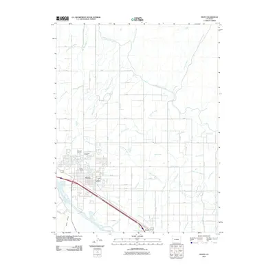
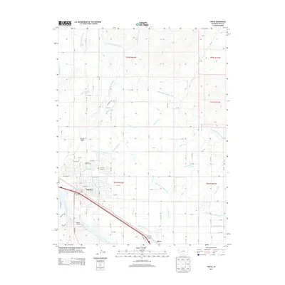
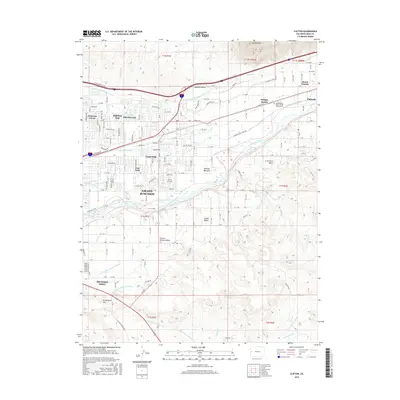
(25)- 2010 Map of Clifton, 2010 Print
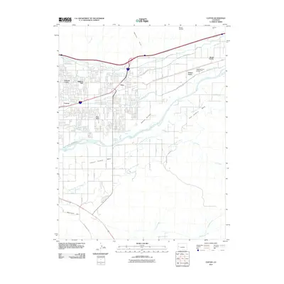 2010 Clifton2010 Print · USGSCovers Grand Junction, including Palisade, Bridges Switch, and other nearby areas
 - 2010 Map of Fruita, 2010 Print
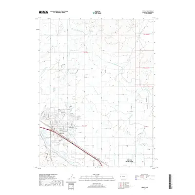
 2010 Fruita2010 Print · USGSCovers Grand Junction, including Fruita, Rhone, and other nearby areas
 - 2010 Map of Colorado National Monument, 2010 Print
 2010 Colorado National Monument2010 Print · USGSCovers Grand Junction, including Fruita, Redlands, and other nearby areas
 - 2010 Map of Grand Junction, 2010 Print
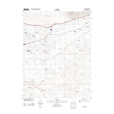
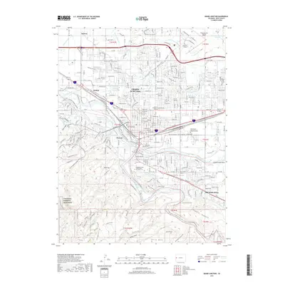
 2010 Grand Junction2010 Print · USGSCovers Grand Junction, including Appleton, Rosevale, and other nearby areas
 - 2010 Map of Corcoran Point, 2010 Print
 2010 Corcoran Point2010 Print · USGSCovers Grand Junction, including Mesa County, United States, and other nearby areas
 - 2013 Map of Corcoran Point, 2013 Print
 2013 Corcoran Point2013 Print · USGSCovers Grand Junction, including Mesa County, United States, and other nearby areas
 - 2013 Map of Colorado National Monument, 2013 Print
 2013 Colorado National Monument2013 Print · USGSCovers Grand Junction, including Fruita, Redlands, and other nearby areas
 - 2013 Map of Grand Junction, 2013 Print
 2013 Grand Junction2013 Print · USGSCovers Grand Junction, including Appleton, Rosevale, and other nearby areas
 - 2013 Map of Clifton, 2013 Print
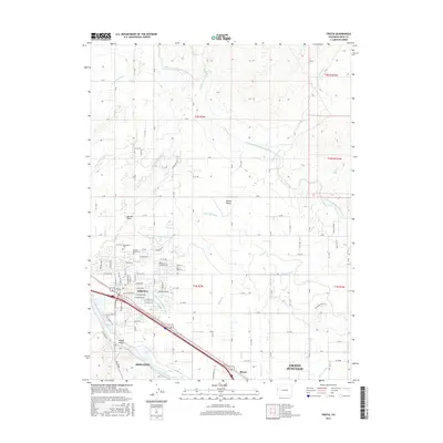
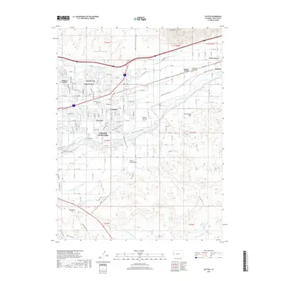
 2013 Clifton2013 Print · USGSCovers Grand Junction, including Palisade, Bridges Switch, and other nearby areas
 - 2013 Map of Fruita, 2013 Print
 2013 Fruita2013 Print · USGSCovers Grand Junction, including Fruita, Rhone, and other nearby areas
 - 2016 Map of Fruita, 2016 Print
 2016 Fruita2016 Print · USGSCovers Grand Junction, including Fruita, Rhone, and other nearby areas
 - 2016 Map of Grand Junction, 2016 Print
 2016 Grand Junction2016 Print · USGSCovers Grand Junction, including Appleton, Rosevale, and other nearby areas
 - 2016 Map of Colorado National Monument, 2016 Print
 2016 Colorado National Monument2016 Print · USGSCovers Grand Junction, including Fruita, Redlands, and other nearby areas
 - 2016 Map of Clifton, 2016 Print
 2016 Clifton2016 Print · USGSCovers Grand Junction, including Palisade, Bridges Switch, and other nearby areas
 - 2016 Map of Corcoran Point, 2016 Print
 2016 Corcoran Point2016 Print · USGSCovers Grand Junction, including Mesa County, United States, and other nearby areas
 - 2019 Map of Corcoran Point, 2019 Print
 2019 Corcoran Point2019 Print · USGSCovers Grand Junction, including Mesa County, United States, and other nearby areas
 - 2019 Map of Grand Junction, 2019 Print
 2019 Grand Junction2019 Print · USGSCovers Grand Junction, including Appleton, Rosevale, and other nearby areas
 - 2019 Map of Colorado National Monument, 2019 Print
 2019 Colorado National Monument2019 Print · USGSCovers Grand Junction, including Fruita, Redlands, and other nearby areas
 - 2019 Map of Fruita, 2019 Print
 2019 Fruita2019 Print · USGSCovers Grand Junction, including Fruita, Rhone, and other nearby areas
 - 2019 Map of Clifton, 2019 Print
 2019 Clifton2019 Print · USGSCovers Grand Junction, including Palisade, Bridges Switch, and other nearby areas
 - 2022 Map of Fruita, 2022 Print
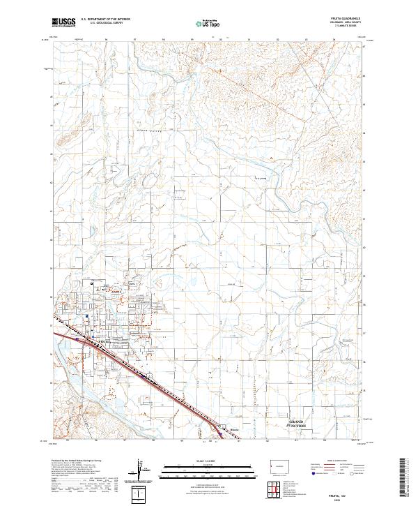 2022 Fruita2022 Print · USGSThe Grand Valley irrigation network is on full display here, showing the Fruita area in the early 2020s. Researchers can trace the path of the Government Highline Canal and locate family plots at Elmwood Cem and Sacred Heart Cem.
 - 2022 Map of Clifton, 2022 Print
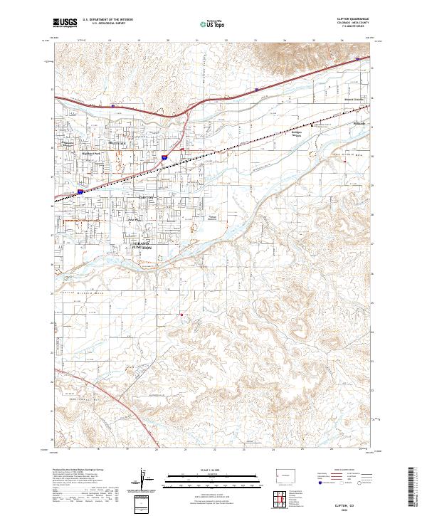 2022 Clifton2022 Print · USGSThe Colorado River valley near Clifton and Fruitvale is shown in this contemporary study of Mesa County’s irrigation and settlement. Researchers can trace the Old Spanish Trl and find the Independent Order of Odd Fellows Cem.
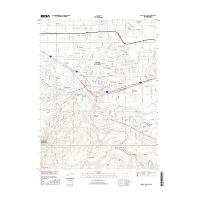
 - 2022 Map of Grand Junction, 2022 Print
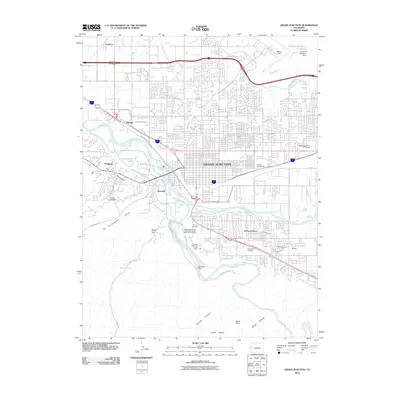
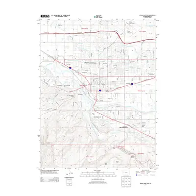
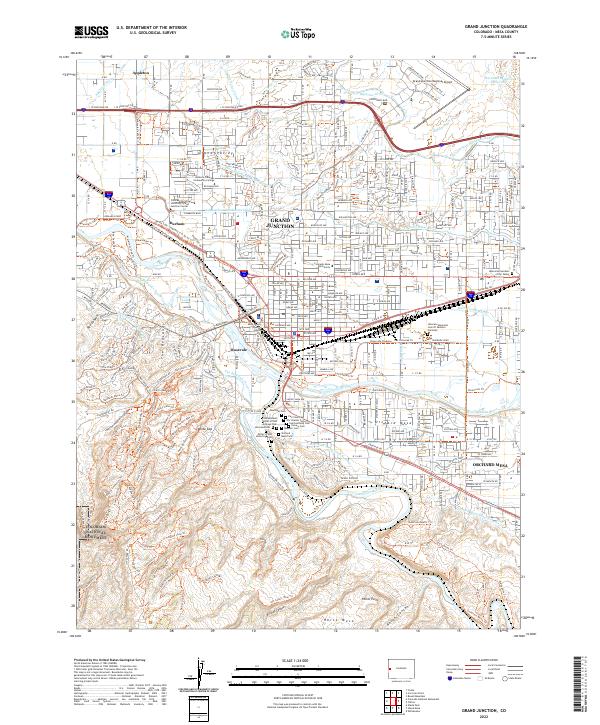 2022 Grand Junction2022 Print · USGSGrand Junction and the Grand Valley appear in the early 2020s at the junction of the Colorado River and Gunnison River. Genealogists can trace a significant complex of historic burial grounds including Orchard Mesa Cem and the Masonic Cem.
 - 2022 Map of Corcoran Point, 2022 Print
 2022 Corcoran Point2022 Print · USGSThe outskirts of Grand Junction meet the rising Book Cliffs in this 2022 survey of the high desert landscape. Genealogists and local historians can trace the irrigation networks of the Government Highline Canal and locate sites like Crown Point Cem.
 - 2023 Map of Colorado National Monument, 2023 Print
 2023 Colorado National Monument2023 Print · USGSMesa County is shown at a point of intersection between the high plateau and the river valley. Trace the irrigation network of the Redlands First Lift Canal and find local landmarks like Glade Park Cem and Window Rock.
End of results
Showing maps 1-25 of 25
Top cities near Grand Junction
Top neighborhoods of Grand Junction
- Orchard Mesa historical maps
- Durham historical maps
- Orchard Mesa historical maps
- Johnsons Corner historical maps
- Redlands historical maps
- Original Mile Keith's Addition City Historic District historical maps
See more
Frequently asked questions
- What are the different types of historical maps available for Grand Junction?
- What is the oldest map of Grand Junction?
- Where can I purchase historical maps of Grand Junction for my home or office?
- Where can I download high-res historical maps of Grand Junction?
- Are there historical topographic maps available for Grand Junction?
- Is there historical aerial imagery available for Grand Junction?
- Where are historical maps of Grand Junction sourced from?