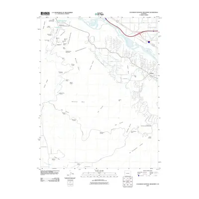
2010 Map of Colorado National Monument
USGS Topo · Published 2010About this map
Independence Monument and the spire of Saddlehorn anchor this high-desert landscape, where the plateau of Monument Mesa drops sharply into a complex system of canyons. The map documents the intricate water management required for this arid region, showing the Redlands First Lift Canal and Redlands Second Lift Canal serving the community of Redlands. To the northwest, the Colorado River winds past the Fruita Reservoir and Fruita Settling Basin Number 2 Dam, illustrating the vital infrastructure supporting nearby settlements.
Find a feature on this map
66 named features on this map. Tap any name to fly to it.
Don’t see what you’re looking for? This feature index may not catch every label — zoom into the map to look around manually.
Map Details
Editions of this 2010 Colorado National Monument Map
This is the sole edition of this map. No revisions or reprints were ever made.
Other maps of this area

1934 · Colorado National Monument
USGS Topo · 1:24,000

1956 · Moab
USGS Topo · 1:250,000

1956 · Grand Junction
USGS Topo · 1:250,000

1959 · Grand Junction
USGS Topo · 1:250,000

1959 · Moab
USGS Topo · 1:250,000

1960 · Moab
USGS Topo · 1:250,000

1960 · Grand Junction
USGS Topo · 1:250,000

1962 · Moab
USGS Topo · 1:250,000

1962 · Grand Junction
USGS Topo · 1:250,000

1962 · Fruita
USGS Topo · 1:24,000