Old Maps of Robinson Place, Colorado for Academic Research
Study the evolution of Robinson Place with 12 high-resolution historic maps. Whether you're teaching, researching, or modeling changes in land use, these maps provide essential visual documentation of urban, environmental, and geographic change.
- Analyze long-term change: Track patterns in development, transportation, and natural features.
- Ideal for environmental or urban studies: Support academic projects with primary historical map data.
- Use in the classroom or lab: Educators and researchers rely on these maps to bring historical context to life.
These maps are a powerful tool for teaching, research, and visualizing how Robinson Place has changed over the decades.
Robinson Place, CO maps
(12)- 1907 Map of Rangely, 1955 Print
 1907 Rangely1955 Print · USGSNorthwestern Colorado at the turn of the century is captured here in a period of early frontier settlement and reconnaissance. Researchers can trace the river-fed outposts of Rangely and Angora or locate landmarks like Blue Mountain and Raven Park.
 - 1910 Map of Rangely
 1910 Rangely1910 Print · USGSNorthwestern Colorado at the turn of the century reveals a landscape of isolated outposts and cattle country along the river basins. Genealogists and researchers can trace the early footprints of Rangely, Angora, and Boxelder near the White River.2 unique versions available
 - 1954 Map of Hells Canyon, 1955 Print
 1954 Hells Canyon1955 Print · USGSMoffat County's canyon country in the mid-fifties was a landscape of remote ranching outposts and ancient riverbeds. Researchers can trace the Mantle Ranch homestead, find the Mantle Sch, or locate the Fred Wall Place (Aband).5 unique versions available
 - 1954 Map of Vernal, 1966 Print
 1954 Vernal1966 Print · USGSThe Green River basin and Uinta Mountains come alive in this mid-century survey of northeastern Utah and northwestern Colorado. Genealogists and researchers can trace the development of remote outposts like Little Bonanza, Artesia, and Dutch John alongside the expanding Flaming Gorge Reservoir.4 unique versions available
 - 1958 Map of Vernal
 1958 Vernal1958 Print · USGSThe Uinta Basin at the end of the fifties reveals a landscape shaped by massive river systems and burgeoning energy interests. Researchers can trace the layout of Uintah and Ouray Indian Reservation lands and industrial sites like the Gilsonite coking plant and Bonanza.
 - 1960 Map of Vernal
 1960 Vernal1960 Print · USGSNortheastern Utah was a rugged frontier of mineral extraction and federal conservation in the mid-twentieth century. Genealogists and historians can trace the growth of Vernal, locate Gilsonite mining operations near Bonanza, and explore the 1950s boundaries of Dinosaur National Monument.
 - 1979 Map of Rangely
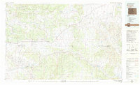 1979 Rangely1979 Print · USGSNorthwestern Colorado in the late seventies is a landscape of high-desert basins and industrial energy hubs. Local historians can trace the development of the Rangely Oil Field, the layout of Colorado Northwestern Community College, and crossroads at Massadona and Elk Springs.
 - 2010 Map of Hells Canyon, 2010 Print
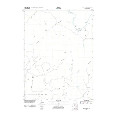 2010 Hells Canyon2010 Print · USGSMoffat County rangeland meets the deep cuts of the Yampa River in this detailed 2010 study of Colorado’s northwestern wilderness. Researchers can trace remote family-named sites like Red Rock Ranch, Robinson Place, and the strategically placed Round Top Lookout.
 - 2013 Map of Hells Canyon, 2013 Print
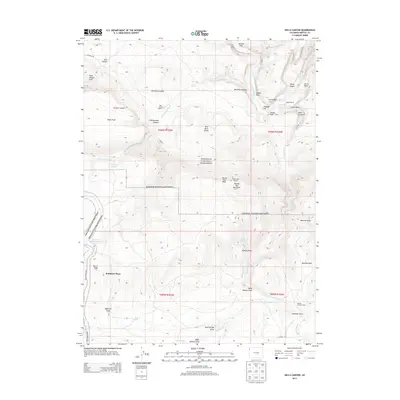 2013 Hells Canyon2013 Print · USGSMoffat County's remote canyonlands are documented here in the early twenty-first century as ranching life persists within federal park boundaries. Genealogists and researchers can trace local landmarks like Mantle Ranch and Robinson Place or locate the Round Top Lookout above the Yampa River.
 - 2016 Map of Hells Canyon, 2016 Print
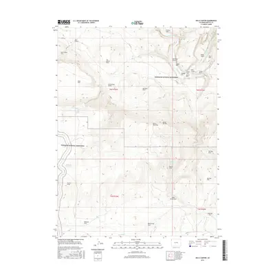 2016 Hells Canyon2016 Print · USGSNorthwest Colorado in the mid-2010s remains a wilderness of deep river incisions and protected parklands. Researchers can trace the rugged topography of Hells Canyon and locate distinctive landmarks like Sand Canyon Arch and Castle Rock.
 - 2019 Map of Hells Canyon, 2019 Print
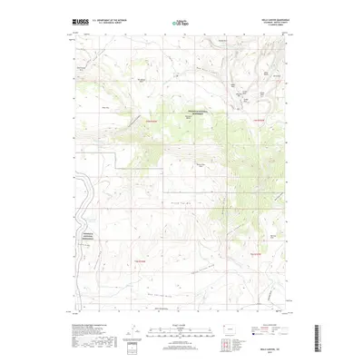 2019 Hells Canyon2019 Print · USGSMoffat County's high-desert canyons are documented here in 2019, showing the intersection of park boundaries and wilderness landmarks. Researchers can trace the Mantle Cave Trail and locate remote water sources like Surveyor Spring and Red Rock Reservoir.
 - 2022 Map of Hells Canyon, 2022 Print
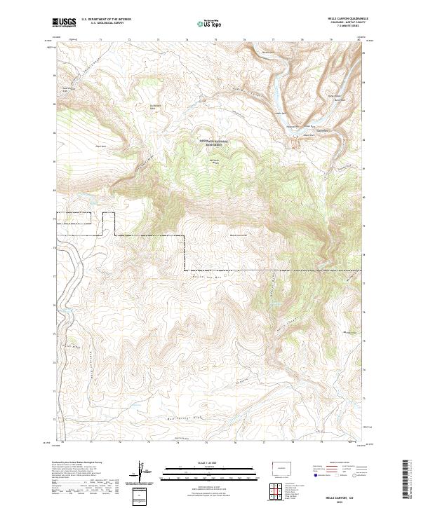 2022 Hells Canyon2022 Print · USGSMoffat County's river canyons and high desert benches are documented here as part of the canyonlands at the start of the 2020s. Researchers can trace the path of the Yampa River or locate landmarks like Castle Park and Sand Canyon Arch.
End of results
Showing maps 1-12 of 12
Top cities near Robinson Place
Frequently asked questions
- What are the different types of historical maps available for Robinson Place?
- What is the oldest map of Robinson Place?
- Where can I purchase historical maps of Robinson Place for my home or office?
- Where can I download high-res historical maps of Robinson Place?
- Are there historical topographic maps available for Robinson Place?
- Is there historical aerial imagery available for Robinson Place?
- Where are historical maps of Robinson Place sourced from?