
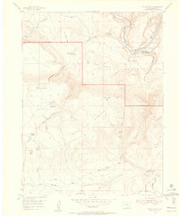
1954 Map of Hells Canyon
USGS Topo · Published 1955About this map
The Yampa River carves a deep path through this corner of Northwest Colorado, anchoring a landscape where isolated homesteads and ranching outposts defined the early 20th-century frontier. Within the Dinosaur National Monument, the map reveals the intersection of rugged topography and human settlement, notably at Mantle Ranch and its accompanying Mantle Sch. Higher elevations are marked by distinctive landmarks like The Billiard Table and Round Top Mountain.
Find a feature on this map
42 named features on this map. Tap any name to fly to it.
Don’t see what you’re looking for? This feature index may not catch every label — zoom into the map to look around manually.
Map Details
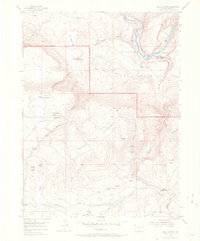
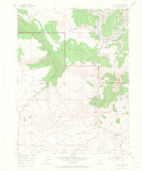
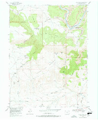
Editions of this 1954 Hells Canyon Map
5 editions found
Other maps of this area

1885 · Ashley
USGS Topo · 1:250,000

1907 · Rangely
USGS Topo · 1:125,000

1907 · Jensen
USGS Topo · 1:125,000

1910 · Jensen
USGS Topo · 1:125,000

1910 · Rangely
USGS Topo · 1:125,000

1954 · Canyon of Lodore South
USGS Topo · 1:24,000

1954 · Vernal
USGS Topo · 1:250,000

1955 · Stuntz Reservoir
USGS Topo · 1:24,000

1955 · Jones Hole
USGS Topo · 1:24,000

1958 · Vernal
USGS Topo · 1:250,000