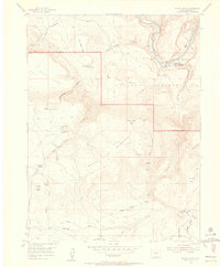
1954 Map of Hells Canyon
USGS Topo · Published 1955About this map
Yampa River corridors and high plateau country define this mid-century look at the northwestern Colorado interior. The map documents several early family sites and homesteads during a period of transition, including the Mantle Ranch and its associated Mantle Sch, as well as the Mantle Summer Camp and Mantle Cave near the river bend. Evidence of earlier settlement is noted by several locations marked as abandoned, such as the Red Rock Ranch, Fred Wall Place, and Caldwell Place. These sites are scattered across a landscape bounded by Dinosaur National Monument, where dramatic terrain features like Castle Rock, Katy's Nipple, and the Round Top Mountain summit overlook deep canyons like Hells Canyon and Sand Canyon. The presence of the Water Tank and Red Rock Reservoir indicates the critical importance of water management for these isolated ranching outposts.
Find a feature on this map
49 named features on this map. Tap any name to fly to it.
Don’t see what you’re looking for? This feature index may not catch every label — zoom into the map to look around manually.
Map Details
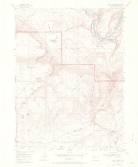
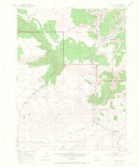
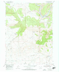
Editions of this 1954 Hells Canyon Map
5 editions found
Other maps of this area

1885 · Ashley
USGS Topo · 1:250,000

1907 · Rangely
USGS Topo · 1:125,000

1907 · Jensen
USGS Topo · 1:125,000

1910 · Jensen
USGS Topo · 1:125,000

1910 · Rangely
USGS Topo · 1:125,000

1954 · Hells Canyon
USGS Topo · 1:24,000

1954 · Canyon of Lodore South
USGS Topo · 1:24,000

1954 · Vernal
USGS Topo · 1:250,000

1955 · Stuntz Reservoir
USGS Topo · 1:24,000

1955 · Jones Hole
USGS Topo · 1:24,000