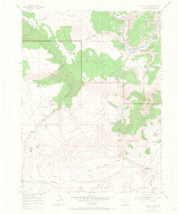
1954 Map of Hells Canyon
USGS Topo · Published 1968About this map
The Yampa River snakes through the northern portion of this landscape, carving deep canyons and creating landforms like Castle Park and Hospital Hill. This mid-century survey captures a transition in land use within the Dinosaur National Monument, documenting several homesteads and seasonal sites including Mantle Ranch and Mantle Summer Camp. Notable for genealogists are the numerous family-named locations such as the Donald Wall Place and Robison Place, alongside several sites already marked as abandoned by 1954, including the Red Rope Ranch (Aband) and Caldwell Place (Aband).
Find a feature on this map
46 named features on this map. Tap any name to fly to it.
Don’t see what you’re looking for? This feature index may not catch every label — zoom into the map to look around manually.
Map Details
Editions of this 1954 Hells Canyon Map
5 editions found
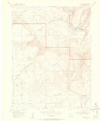
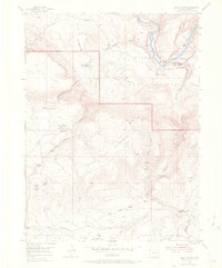
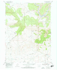
Other maps of this area

1885 · Ashley
USGS Topo · 1:250,000

1907 · Rangely
USGS Topo · 1:125,000

1907 · Jensen
USGS Topo · 1:125,000

1910 · Jensen
USGS Topo · 1:125,000

1910 · Rangely
USGS Topo · 1:125,000

1954 · Hells Canyon
USGS Topo · 1:24,000

1954 · Canyon of Lodore South
USGS Topo · 1:24,000

1954 · Vernal
USGS Topo · 1:250,000

1955 · Stuntz Reservoir
USGS Topo · 1:24,000

1955 · Jones Hole
USGS Topo · 1:24,000