Old Maps of Slater, Colorado for Academic Research
Study the evolution of Slater with 14 high-resolution historic maps. Whether you're teaching, researching, or modeling changes in land use, these maps provide essential visual documentation of urban, environmental, and geographic change.
- Analyze long-term change: Track patterns in development, transportation, and natural features.
- Ideal for environmental or urban studies: Support academic projects with primary historical map data.
- Use in the classroom or lab: Educators and researchers rely on these maps to bring historical context to life.
These maps are a powerful tool for teaching, research, and visualizing how Slater has changed over the decades.
Slater, CO maps
(14)- 1954 Map of Craig, 1973 Print
 1954 Craig1973 Print · USGSNorthwest Colorado and the high mountain parks are captured in the mid-fifties, showing the region's ranching, mining, and timber centers. Genealogists and historians can trace rail corridors like the Denver and Rio Grande Western and old towns such as Axial, Milner, and Coalmont.3 unique versions available
 - 1957 Map of Craig
 1957 Craig1957 Print · USGSNorthwest Colorado in the mid-fifties is a landscape of mountain ranching and rail-dependent river towns. Researchers can trace historic coal mining at the Sudduth Mine, follow the Denver and Rio Grande Western tracks, and locate vanished settlements like Pearl.
 - 1958 Map of Craig
 1958 Craig1958 Print · USGSNorthwest Colorado and the High Rockies are captured here in the mid-fifties, showing a landscape of burgeoning water projects and mountain ranching. Genealogists and historians can trace old homesteads and mountain outposts from Grand Lake to Meeker, alongside industrial landmarks like Uranium Mines and the Denver and Rio Grande Western railroad.
 - 1960 Map of Craig
 1960 Craig1960 Print · USGSNorthwest Colorado in the 1950s is a landscape of mountain summits and industrial growth at the headwaters of the West. Genealogists and historians can trace rail-town development along the Denver and Salt Lake line, while locating Uranium Mines and settlements like Craig, Meeker, and Steamboat Springs.
 - 1962 Map of Craig
 1962 Craig1962 Print · USGSNorthwest Colorado in the early sixties is a land of high-elevation ranching and remote river valleys. Genealogists and historians can trace the Denver and Rio Grande Western rail lines and locate early settlements like Hahns Peak, Meeker, and Juniper Springs.
 - 1964 Map of Craig
 1964 Craig1964 Print · USGSNorthwestern Colorado's high country is captured here during the mid-sixties, from the Yampa River valley to the high peaks of the Park Range. Local researchers can trace the Denver and Rio Grande Western rail line and locate Uranium Mines near Lay.
 - 1965 Map of Craig
 1965 Craig1965 Print · USGSNorthwest Colorado in the mid-sixties is defined by its massive river basins and high mountain ranges flanking the Continental Divide. Trace the routes of the Denver and Rio Grande Western through old settlements like McCoy and Kremmling.
 - 1969 Map of Bakers Peak, 1972 Print
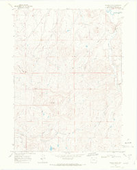 1969 Bakers Peak1972 Print · USGSHigh-altitude ranching and drainage patterns in Northwest Colorado are captured here in the late sixties. Trace the rugged terrain from Bakers Peak to the Little Snake River, locating isolated landmarks like OVO Reservoir and the Radio Facility.5 unique versions available
 - 1979 Map of Craig
 1979 Craig1979 Print · USGSNorthwest Colorado in the late seventies reveals a landscape of industrial expansion and high-country wilderness centered on Craig. Genealogists and historians can trace the legacy of mining and transport through Morgan Creek Mine No 1, the Denver and Rio Grande Western Railroad, and the settlement of Lay.
 - 2010 Map of Bakers Peak, 2010 Print
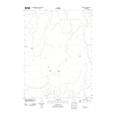 2010 Bakers Peak2010 Print · USGSThe settlement of Slater and its namesake creek are captured here in the first decade of the 2000s. Researchers can locate the Slater Post Office and trace family-named landmarks like Jim Robertson Mountain and the OVO Reservoir.
 - 2013 Map of Bakers Peak, 2013 Print
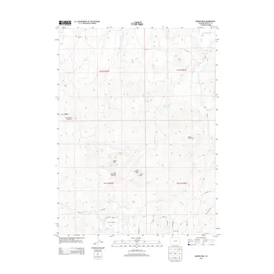 2013 Bakers Peak2013 Print · USGSUpper Moffat County was a landscape of high-country ranching and remote peaks in the early twenty-first century. Genealogists and hikers can trace old routes like CO ROAD 2 and locate landmarks such as Bakers Peak and the settlement of Slater.
 - 2016 Map of Bakers Peak, 2016 Print
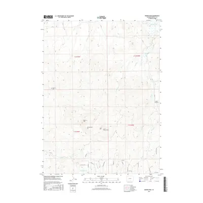 2016 Bakers Peak2016 Print · USGSMoffat County's high-altitude peaks and river drainages are captured here in the mid-2010s. Researchers can trace land features like Bakers Peak, the Elk Lake Reservoir, and the complex network of mountain roads including Granite Rd.
 - 2019 Map of Bakers Peak, 2019 Print
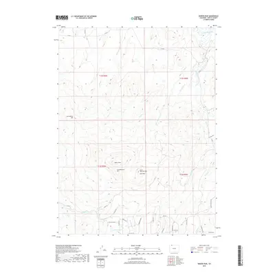 2019 Bakers Peak2019 Print · USGSMoffat County's high-country terrain is captured in this modern survey of the peaks and ridges north of the Colorado divide. Researchers can trace the drainage patterns of Mule Cr and Jack Rabbit Cr or locate specific landmarks like Bakers Peak and the Ovo Reservoir.
 - 2022 Map of Bakers Peak, 2022 Print
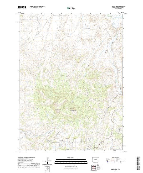 2022 Bakers Peak2022 Print · USGSMoffat County's high country is captured here in the early twenty-first century, showing a landscape defined by prominent summits and water management. Researchers can trace land use patterns near Bakers Peak and OVO Reservoir, or locate landmarks like Jim Robertson Mtn and Box Spring.
End of results
Showing maps 1-14 of 14
Top cities near Slater
Frequently asked questions
- What are the different types of historical maps available for Slater?
- What is the oldest map of Slater?
- Where can I purchase historical maps of Slater for my home or office?
- Where can I download high-res historical maps of Slater?
- Are there historical topographic maps available for Slater?
- Is there historical aerial imagery available for Slater?
- Where are historical maps of Slater sourced from?