Old Maps of Baggs, Wyoming
Explore 14 old maps of Baggs, spanning from 1954 to today. These high-resolution historic maps reveal how streets, neighborhoods, landmarks, and natural features evolved over time — perfect for genealogy, metal detecting, research, and local history exploration.
What you can do with these maps:
- See how Baggs changed over time: Compare historical maps to modern-day views to trace roads, homesites, rail lines & more.
- View detailed metadata: Each map includes creators, publishers, year, scale, and archive source.
- Overlay maps with satellite & LiDAR: Visualize the past alongside modern tools to explore terrain & human change.
- Trusted historical sources: Maps sourced from the USGS, Library of Congress, and other archives.
- Access maps your way: View online, download high-res files, or order prints for personal or research use.
Start exploring old maps of Baggs to uncover forgotten places, hidden landmarks, and the deep history beneath your feet.
Baggs, WY maps
(14)- 1954 Map of Rawlins, 1968 Print
 1954 Rawlins1968 Print · USGSThe high plains and mountain ranges of southern Wyoming are shown here in the mid-1950s as the Union Pacific railroad and early highways fueled local industry. Genealogists and historians can trace old homesteads and outposts like the Overland Stage Station, the Utah Oil Refining Station, and the Hadsell Winter Headquarters.2 unique versions available
 - 1957 Map of Baggs, 1958 Print
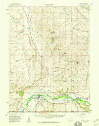 1957 Baggs1958 Print · USGSThe Little Snake River valley comes to life in the late fifties, showing the borderlands of Wyoming and Colorado. Genealogists can trace family roots at Baggs Cem and Eversole Cem or locate the historic Morgan Ranch and Dixon.3 unique versions available
 - 1958 Map of Rawlins
 1958 Rawlins1958 Print · USGSSouthern Wyoming at the mid-century shows a landscape defined by the Union Pacific Railroad and the high basins of the Continental Divide. Researchers can trace old transportation routes near Fort Fred Steele or explore the mining history around Hanna and Medicine Bow.2 unique versions available
 - 1962 Map of Rawlins
 1962 Rawlins1962 Print · USGSSouthern Wyoming at the dawn of the sixties shows a landscape shaped by the Union Pacific and the high peaks of the Medicine Bow Mountains. Researchers can trace the path of the old stage routes through Overland Stage Station and Fort Fred Steele.
 - 1967 Map of Rawlins
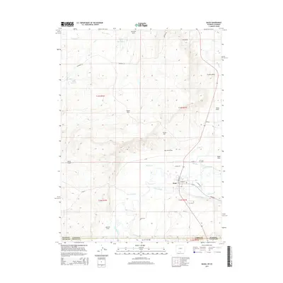
 1967 Rawlins1967 Print · USGSCentral Wyoming and northern Colorado in the 1980s are defined here by the Union Pacific corridor and the high peaks of the Sierra Madre. Researchers can trace the legacy of old mining and rail towns like Carbon, Hanna, and Medicine Bow along the Overland Trail.
 - 1975 Map of Baggs SW, 1978 Print
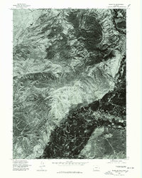 1975 Baggs SW1978 Print · USGSIn the mid-seventies, this Carbon County landscape was captured through high-altitude aerial photography before modern development altered its natural state. Researchers can study the original footprint of Dead Horse Reservoir and the complex network of seasonal drainages that define this terrain.
 - 1982 Map of Baggs, 1983 Print
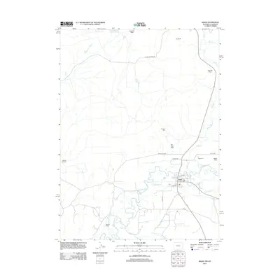
 1982 Baggs1983 Print · USGSThe riverfront town of Baggs and its borderlands are shown in the early eighties as energy development transformed the valley. Researchers can trace local landmarks like Ledford, the Little Snake River, and the industrial sites at Gravel Pits.
 - 1983 Map of Baggs
 1983 Baggs1983 Print · USGSSettlement along the Wyoming-Colorado border in the early eighties follows the path of the Little Snake River through Carbon and Moffat counties. Researchers can trace the path of the Overland Trail or locate historical mining sites like the Ferris-Haggarty Mine and Standard Mine.
 - 1988 Map of Rawlins
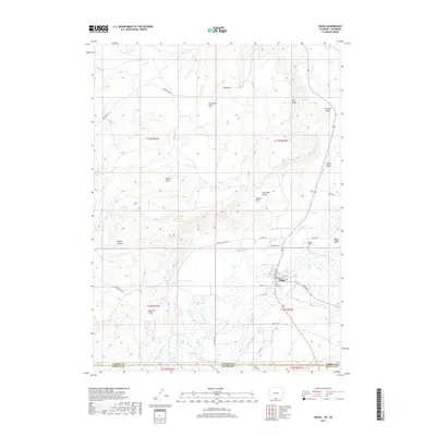
 1988 Rawlins1988 Print · USGSSouthern Wyoming and the Colorado borderlands are detailed here in the late eighties, featuring the intersection of the historic Overland Trail and the Union Pacific. Researchers can trace old rail towns like Medicine Bow and Wamsutter or landmark peaks like Medicine Bow Peak.
 - 2010 Map of Baggs, 2010 Print
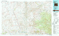
 2010 Baggs2010 Print · USGSCovers Baggs, including Carbon County, Moffat County, and other nearby areas
 - 2012 Map of Baggs, 2012 Print
 2012 Baggs2012 Print · USGSCovers Baggs, including Carbon County, Moffat County, and other nearby areas
 - 2015 Map of Baggs, 2015 Print
 2015 Baggs2015 Print · USGSCovers Baggs, including Carbon County, Moffat County, and other nearby areas
 - 2017 Map of Baggs, 2017 Print
 2017 Baggs2017 Print · USGSCovers Baggs, including Carbon County, Moffat County, and other nearby areas
 - 2021 Map of Baggs, 2021 Print
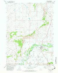
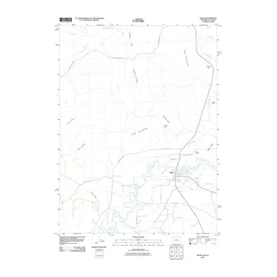
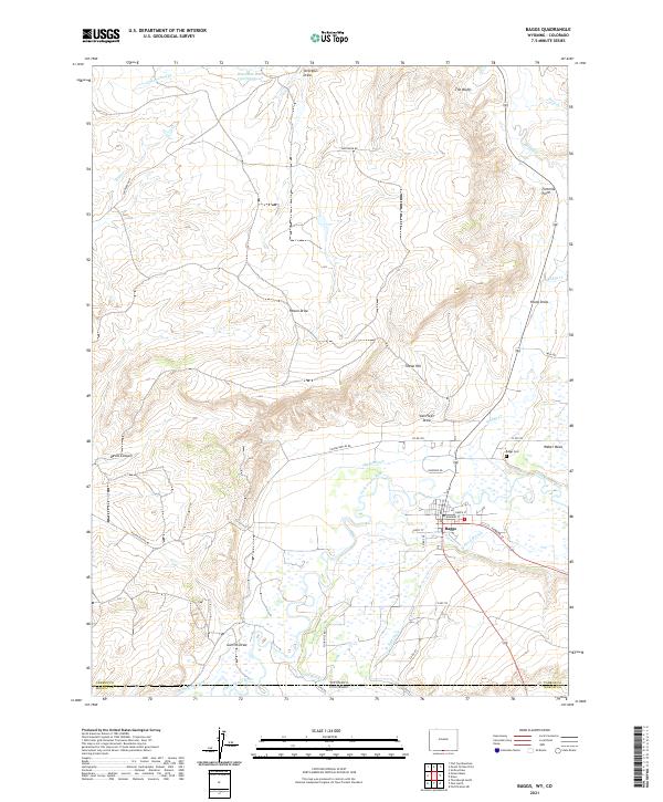 2021 Baggs2021 Print · USGSThe settlement of Baggs sits along the Little Snake River at the Wyoming-Colorado border in this modern survey of the high desert. Researchers can trace the intricate irrigation network of the Baggs Ditch, locate the Baggs Cem, and explore landmarks like Tincan Hill.
End of results
Showing maps 1-14 of 14
Top cities near Baggs
Frequently asked questions
- What are the different types of historical maps available for Baggs?
- What is the oldest map of Baggs?
- Where can I purchase historical maps of Baggs for my home or office?
- Where can I download high-res historical maps of Baggs?
- Are there historical topographic maps available for Baggs?
- Is there historical aerial imagery available for Baggs?
- Where are historical maps of Baggs sourced from?