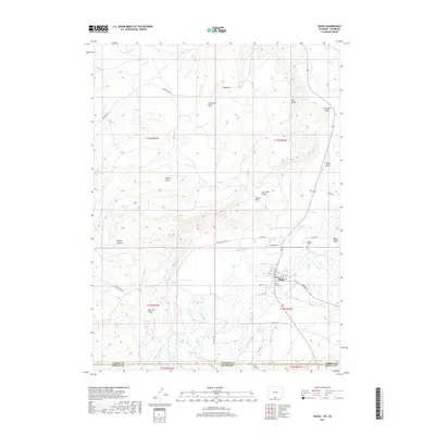
2017 Map of Baggs
USGS Topo · Published 2017About this map
Baggs sits along the Little Snake River at the southern edge of Carbon County, Wyoming, just north of the Colorado state line. The settlement serves as a central hub for the surrounding ranching and high-desert landscape, with the Baggs Cem located nearby. Water management is a defining characteristic of this arid region, evidenced by an intricate network of irrigation features such as the Baggs Ditch, Gibson Blair Ditch, and W Side Canal.
Find a feature on this map
45 named features on this map. Tap any name to fly to it.
Don’t see what you’re looking for? This feature index may not catch every label — zoom into the map to look around manually.
Map Details
Editions of this 2017 Baggs Map
This is the sole edition of this map. No revisions or reprints were ever made.
Other maps of this area

1916 · Craig
USGS Topo · 1:125,000

1954 · Rawlins
USGS Topo · 1:250,000

1954 · Craig
USGS Topo · 1:250,000

1957 · Craig
USGS Topo · 1:250,000

1957 · Baggs
USGS Topo · 1:62,500

1958 · Rawlins
USGS Topo · 1:250,000

1958 · Craig
USGS Topo · 1:250,000

1960 · Craig
USGS Topo · 1:250,000

1962 · Rawlins
USGS Topo · 1:250,000

1962 · Craig
USGS Topo · 1:250,000