
1957 Map of Baggs
USGS Topo · Published 1958About this map
The Little Snake River winds along the southern edge of this landscape, defining the agricultural corridor between Baggs and Dixon. In the late 1950s, this area on the Wyoming-Colorado border relied heavily on the irrigation provided by the Gibson-Blair Ditch and other canal systems. The map captures a transition from the fertile river valley near First Mesa to the high desert terrain of The Bluffs and Wild Horse Basin.
Find a feature on this map
62 named features on this map. Tap any name to fly to it.
Don’t see what you’re looking for? This feature index may not catch every label — zoom into the map to look around manually.
Map Details
Editions of this 1957 Baggs Map
3 editions found
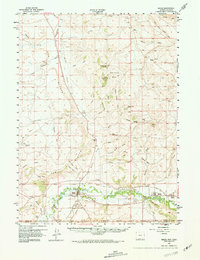
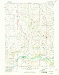
Other maps of this area

1916 · Craig
USGS Topo · 1:125,000

1932 · Savery
USGS Topo · 1:96,000

1940 · Savery
USGS Topo · 1:125,000

1954 · Rawlins
USGS Topo · 1:250,000

1954 · Craig
USGS Topo · 1:250,000

1957 · Craig
USGS Topo · 1:250,000

1957 · Doty Mountain
USGS Topo · 1:62,500

1958 · Rawlins
USGS Topo · 1:250,000

1958 · Craig
USGS Topo · 1:250,000

1960 · Craig
USGS Topo · 1:250,000