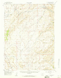
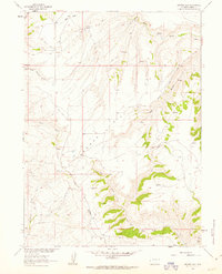
1957 Map of Doty Mountain
USGS Topo · Published 1959About this map
The Overland Trail cuts across this high-desert landscape in southern Wyoming, marking a critical corridor for westward migration and communications. Significant historical sites are preserved here, including the Washakie Station (Historical Ruins) and the Sulphur Springs Original Stage Station (Historical), which served as vital stops during the mid-19th century stagecoach era. The terrain is defined by the prominent ridge of Doty Mountain and the expansive dunes of The Sand Hills, which dominate the eastern portion of the sheet.
Find a feature on this map
42 named features on this map. Tap any name to fly to it.
Don’t see what you’re looking for? This feature index may not catch every label — zoom into the map to look around manually.
Map Details
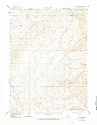
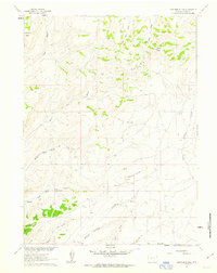
Editions of this 1957 Doty Mountain Map
2 editions found
Other maps of this area

1932 · Savery
USGS Topo · 1:96,000

1940 · Savery
USGS Topo · 1:125,000

1954 · Rawlins
USGS Topo · 1:250,000
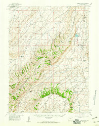
1956 · Bridger Pass
USGS Topo · 1:62,500
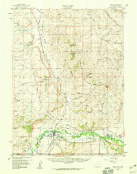
1957 · Baggs
USGS Topo · 1:62,500

1958 · Rawlins
USGS Topo · 1:250,000
1961 · Browns Hill
USGS Topo · 1:24,000
1961 · Ketchum Buttes
USGS Topo · 1:24,000
1961 · Pole Gulch
USGS Topo · 1:24,000

1962 · Rawlins
USGS Topo · 1:250,000