
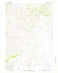
1961 Map of Ketchum Buttes
USGS Topo · Published 1963About this map
The Ketchum Buttes and surrounding high plains of Carbon County define this landscape in the early 1960s, a period marked by sparse ranching infrastructure and mineral exploration. The drainage network is complex, featuring the various branches of Cow Creek, including the Middle Fork and South Fork, which carve through the high elevations near Cow Creek Butte and Rendle Butte. At the southern edge, Cherokee Creek and Bird Gulch drain toward the basin, while Little Savery Creek cuts through the eastern terrain.
Find a feature on this map
18 named features on this map. Tap any name to fly to it.
Don’t see what you’re looking for? This feature index may not catch every label — zoom into the map to look around manually.
Map Details
Editions of this 1961 Ketchum Buttes Map
2 editions found
Other maps of this area

1932 · Savery
USGS Topo · 1:96,000

1940 · Savery
USGS Topo · 1:125,000

1954 · Rawlins
USGS Topo · 1:250,000

1957 · Baggs
USGS Topo · 1:62,500

1957 · Doty Mountain
USGS Topo · 1:62,500

1958 · Rawlins
USGS Topo · 1:250,000

1961 · Pine Grove Ranch
USGS Topo · 1:24,000
1961 · Browns Hill
USGS Topo · 1:24,000

1961 · Pole Gulch
USGS Topo · 1:24,000
1961 · Tullis
USGS Topo · 1:24,000