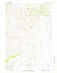
1961 Map of Ketchum Buttes
USGS Topo · Published 1975About this map
Ketchum Buttes and the surrounding high plains of Carbon County define this landscape as it was documented in the early 1960s. The area is characterized by a network of drainage systems including Cow Creek and the Middle Fork and South Fork of Wild Cow Creek, which carve through the high terrain between prominent landmarks like Rendle Butte and Lone Butte. The absence of established towns reflects a region dedicated to open-range activity and resource extraction, evidenced by a singular Prospect located near the center of the survey.
Find a feature on this map
21 named features on this map. Tap any name to fly to it.
Don’t see what you’re looking for? This feature index may not catch every label — zoom into the map to look around manually.
Map Details
Editions of this 1961 Ketchum Buttes Map
2 editions found
Other maps of this area

1932 · Savery
USGS Topo · 1:96,000

1940 · Savery
USGS Topo · 1:125,000

1954 · Rawlins
USGS Topo · 1:250,000

1957 · Baggs
USGS Topo · 1:62,500

1957 · Doty Mountain
USGS Topo · 1:62,500

1958 · Rawlins
USGS Topo · 1:250,000

1961 · Pine Grove Ranch
USGS Topo · 1:24,000
1961 · Browns Hill
USGS Topo · 1:24,000

1961 · Ketchum Buttes
USGS Topo · 1:24,000

1961 · Pole Gulch
USGS Topo · 1:24,000