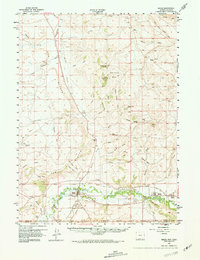
1957 Map of Baggs
USGS Topo · Published 1968About this map
Baggs serves as the focal point of this mid-century survey, situated along the northern bank of the Little Snake River at the Wyoming-Colorado border. The landscape is defined by the heavy incision of drainage systems like Muddy Creek and Wild Horse Draw into high plateau features, including Weber Mesa and First Mesa. Significant irrigation infrastructure is evident through the West Side Canal and various unnamed ditches supporting agriculture in the river valley.
Find a feature on this map
68 named features on this map. Tap any name to fly to it.
Don’t see what you’re looking for? This feature index may not catch every label — zoom into the map to look around manually.
Map Details
Editions of this 1957 Baggs Map
3 editions found
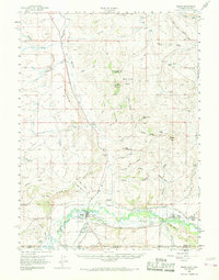
Other maps of this area

1916 · Craig
USGS Topo · 1:125,000

1932 · Savery
USGS Topo · 1:96,000

1940 · Savery
USGS Topo · 1:125,000

1954 · Rawlins
USGS Topo · 1:250,000

1954 · Craig
USGS Topo · 1:250,000

1957 · Craig
USGS Topo · 1:250,000

1957 · Baggs
USGS Topo · 1:62,500

1957 · Doty Mountain
USGS Topo · 1:62,500

1958 · Rawlins
USGS Topo · 1:250,000

1958 · Craig
USGS Topo · 1:250,000