2010s Maps of Brush, Colorado
Explore 16 historic maps of Brush from the 2010s. These maps offer a rare glimpse into what life looked like during the 2010s — showing old roads, neighborhoods, homes, and landmarks that have changed or disappeared over time.
Whether you're researching your family's past, planning a metal detecting trip, or studying how Brush's landscape evolved across the 2010s, these high-resolution maps are a powerful tool for exploring the history of this region.
- Focus on a specific era: All maps on this page are from the 2010s, giving you a focused view of this time period.
- See what’s changed: Compare century-old streets, trails, and buildings to today's modern landscape using overlays and satellite layers.
- Research with precision: Use these maps for genealogy, historical research, land use analysis, or educational projects.
- View, download, or print: Maps are fully viewable online in high resolution, and can be downloaded or printed for your own records.
Start exploring Brush's history through authentic maps from the 2010s. This is your window into the past.
Brush, CO maps
(16)- 2010 Map of Brush West, 2010 Print
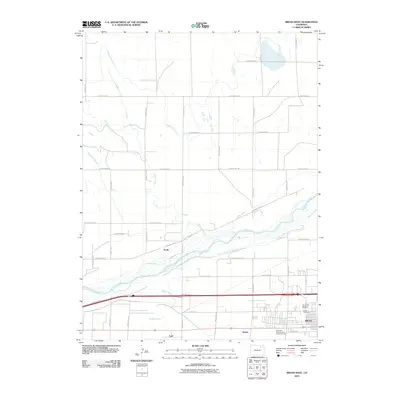 2010 Brush West2010 Print · USGSMorgan County agricultural and water systems are at the forefront of this 2010 study of the plains near Brush. Researchers can trace the path of the South Platte River alongside numerous historic irrigation works like the Upper Platte and Beaver Canal and local landmarks such as Lodi and the J. L. Brush Memorial Cemetery.
 - 2010 Map of Round Top, 2010 Print
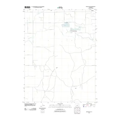 2010 Round Top2010 Print · USGSThe Morgan County plains come into focus at the start of the decade, showing a landscape shaped by industrial water projects and oil extraction. Genealogists and researchers can locate Lodi, the Allen Oil Field, and the course of the Fort Morgan Canal.
 - 2010 Map of Miller Ranch, 2010 Print
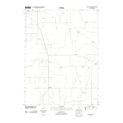 2010 Miller Ranch2010 Print · USGSMorgan County ranchlands are documented here in the early twenty-first century, showing the vital irrigation network south of Brush. You can trace family-named infrastructure and rural crossroads like Miller Ranch, Ninemile Corner, and the Zorichak Oil Field.
 - 2010 Map of Brush East, 2010 Print
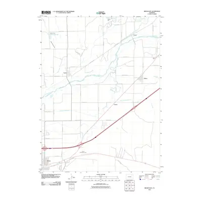 2010 Brush East2010 Print · USGSThe South Platte River valley and its intricate irrigation networks are documented here in the early twenty-first century. Researchers can trace the water systems of the North Sterling Canal and locate rural landmarks like Trowel Ranch and Snyder.
 - 2013 Map of Brush East, 2013 Print
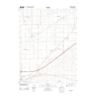 2013 Brush East2013 Print · USGSThe S Platte River valley comes into sharp focus during the early twenty-first century, showing the intricate irrigation systems of Morgan County. Genealogists and local historians can trace the developments around Snyder, Hillrose, and the Brush Municipal Airport.
 - 2013 Map of Miller Ranch, 2013 Print
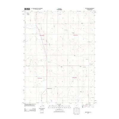 2013 Miller Ranch2013 Print · USGSMorgan County ranching and irrigation are recorded here in the early twenty-first century as the landscape transitions south from Brush. Genealogists and historians can trace family-named landmarks like Miller Ranch and the Zorichak Oil Field alongside historic water routes.
 - 2013 Map of Round Top, 2013 Print
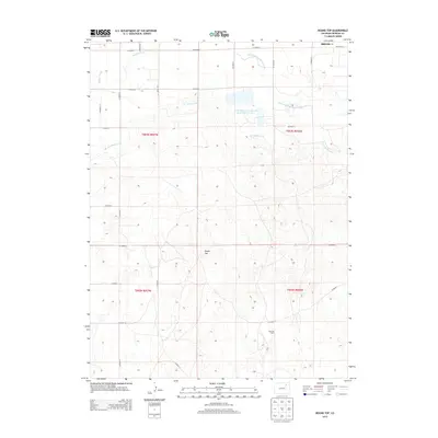 2013 Round Top2013 Print · USGSMorgan County’s high plains are captured here in the early twenty-first century, showing the complex interplay of industrial oil production and vital irrigation canals. Researchers can trace land use at Miller Ranch, locate the Allen Oil Field, and follow the path of the Fort Morgan Canal.
 - 2013 Map of Brush West, 2013 Print
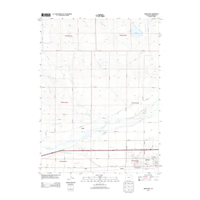 2013 Brush West2013 Print · USGSThe S Platte River valley and the city of Brush are shown here in 2013, highlighting the region's sophisticated irrigation network. Genealogists and historians can locate the J. L. Brush Memorial Cem and trace settlements like Lodi and Dodd.
 - 2016 Map of Brush West, 2016 Print
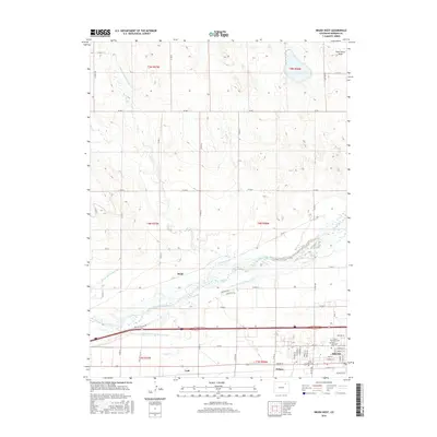 2016 Brush West2016 Print · USGSThe South Platte River valley in the mid-2010s shows a high-plains landscape deeply shaped by irrigation and rail. Researchers can trace historic water rights via the Tremont Canal and Brush Lateral, or locate family plots at the Eben Ezer Cem.
 - 2016 Map of Miller Ranch, 2016 Print
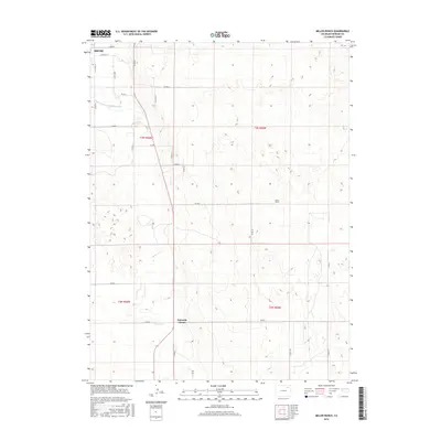 2016 Miller Ranch2016 Print · USGSThe ranchlands south of Brush are meticulously mapped in the mid-2010s, showing the intersection of irrigation and industry. Genealogists and local historians can trace family land at Miller Ranch or locate the junction at Ninemile Corner along Beaver Cr.
 - 2016 Map of Brush East, 2016 Print
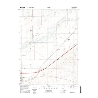 2016 Brush East2016 Print · USGSThe Morgan County plains and the fertile South Platte River valley come into focus in this contemporary survey of the High Plains. Genealogists and local historians can trace the rail-and-river corridor through Brush, Snyder, and Hillrose, while mapping irrigation networks like the Riverside Ditch or the Burlington Northern Santa Fe rail line.
 - 2016 Map of Round Top, 2016 Print
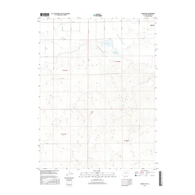 2016 Round Top2016 Print · USGSThe high plains of Morgan County are captured here in the mid-2010s, showcasing a landscape of intensive water management. Researchers can trace irrigation networks like the Fort Morgan Canal and locate industrial landmarks including the Pawnee Raw Water Reservoir and Round Top.
 - 2019 Map of Round Top, 2019 Print
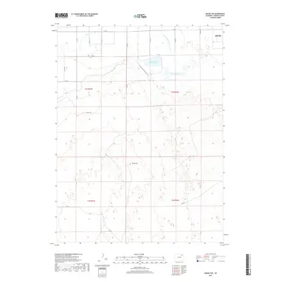 2019 Round Top2019 Print · USGSMorgan County's high plains and irrigation networks are documented here just before the turn of the 2020s. Researchers can trace the paths of the Fort Morgan Canal and Upper Platte and Beaver Canal or locate the distinctive elevation of Round Top.
 - 2019 Map of Miller Ranch, 2019 Print
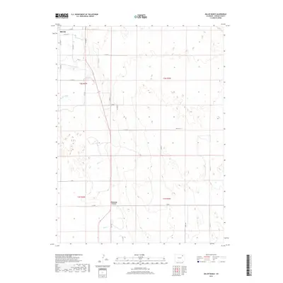 2019 Miller Ranch2019 Print · USGSThe Morgan County plains come into focus in this recent survey of the rural landscape near Brush. Local researchers can trace the paths of the Upper Platte and Beaver Canal and the Fort Morgan Canal as they navigate past Miller Ranch and Ninemile Corner.
 - 2019 Map of Brush East, 2019 Print
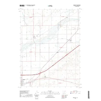 2019 Brush East2019 Print · USGSThe Morgan County plains are revealed in detail during the late twenty-teens as the region's agricultural and transit networks expanded. Trace the irrigation systems of the South Platte River and find local landmarks like Snyder, Hillrose, and the Brush Municipal Airport.
 - 2019 Map of Brush West, 2019 Print
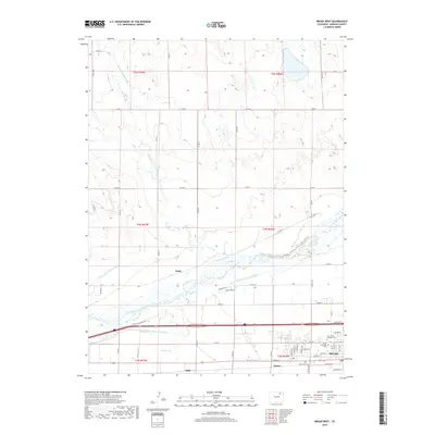 2019 Brush West2019 Print · USGSMorgan County’s agricultural heartland is documented here in the early twenty-first century, showing the complex irrigation network along the South Platte River. Genealogists and local historians can locate gravesites at Brush Memorial Cem and trace the early footprints of Dodd and Lodi.
End of results
Showing maps 1-16 of 16
Top cities near Brush
- Fort Morgan historical maps
- Log Lane Village historical maps
- Morgan Heights historical maps
- Hillrose historical maps
- Trail Side historical maps
- Saddle Ridge historical maps
See more
Frequently asked questions
- What are the different types of historical maps available for Brush?
- What is the oldest map of Brush?
- Where can I purchase historical maps of Brush for my home or office?
- Where can I download high-res historical maps of Brush?
- Are there historical topographic maps available for Brush?
- Is there historical aerial imagery available for Brush?
- Where are historical maps of Brush sourced from?