Old Maps of Ridgway, Colorado for Metal Detecting
Plan your next treasure hunt with 21 historic maps of Ridgway. Find old homesites, ghost towns, trails, and gathering spots that may be lost to time — perfect for identifying promising metal detecting locations.
- Locate forgotten sites: Uncover places like long-lost settlements, abandoned rail lines, or gathering spots.
- Plan better hunts: Use map overlays combined with LiDAR or satellite views to narrow in on historically rich areas.
- Made for detectorists: Thousands of hobbyists use these maps to discover relics, coins, and hidden history.
Use these historic maps to boost your research and find new opportunities beneath the surface of Ridgway.
Ridgway, CO maps
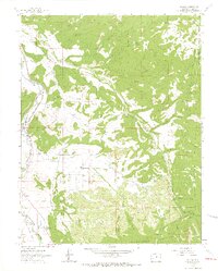
(21)- 1902 Map of Ouray, 1963 Print
 1902 Ouray1963 Print · USGSThe mountain town of Ouray and its surrounding peaks were surveyed at the start of the twentieth century. Genealogists and historians can trace the path of the Denver and Rio Grande R. R. through Bachelor Switch, Portland, and past the waters of Lake Lenore.
 - 1904 Map of Ouray
 1904 Ouray1904 Print · USGSIn the early 1900s, the mining hub of Ouray was already a critical terminal for the Denver and Rio Grande RR. Historians can trace the industrial corridor from Portland down to Ouray, finding sites like the New York Tunnel and the Hot Springs as they appeared over a century ago.3 unique versions available
 - 1909 Map of Montrose, 1960 Print
 1909 Montrose1960 Print · USGSThe Uncompahgre Valley and surrounding peaks come into focus during the first decade of the twentieth century. Researchers can trace the Denver and Rio Grande Western RR through Ridgway to Bachelor Switch and the Blaine Mine.
 - 1911 Map of Montrose
 1911 Montrose1911 Print · USGSThe Uncompahgre River valley and the Denver and Rio Grande RR define the landscape of this region before the First World War. Researchers can trace the early layout of Montrose, the mining influence at Blaine Mine, and the route through Ridgway.3 unique versions available
 - 1956 Map of Montrose, 1963 Print
 1956 Montrose1963 Print · USGSThe Colorado western slope in the late fifties and early sixties shows a landscape defined by the Denver & Rio Grande Western RR and the Gunnison River. Trace the development of Blue Mesa Reservoir or locate high-country sites like the Bachelor Mine.3 unique versions available
 - 1959 Map of Montrose
 1959 Montrose1959 Print · USGSWestern Colorado in the late fifties is defined by the high peaks and river valleys of the Southern Rockies. Genealogists and historians can trace the paths of the Denver & Rio Grande Western RR or locate mountain settlements like Crawford, Lazear, and Doyleville.
 - 1960 Map of Montrose
 1960 Montrose1960 Print · USGSThe Colorado high country in the mid-fifties is captured here during a period of steady ranching and persistent mining. Researchers can trace the path of the Denver & Rio Grande Western RR or locate small settlements like Somerset, Maher, and Sargent.2 unique versions available
 - 1963 Map of Dallas, 1966 Print
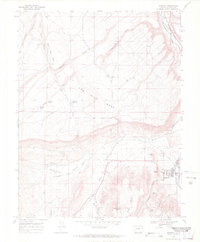
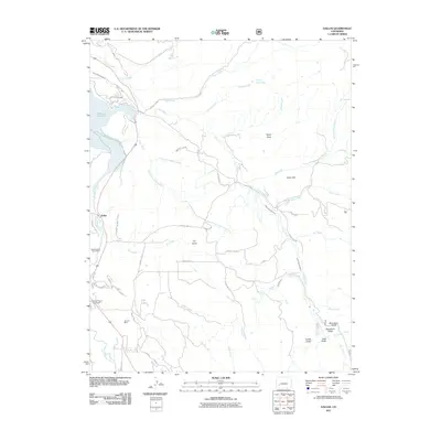
 1963 Dallas1966 Print · USGSOuray County comes into focus in the early sixties as the railroad era gives way to local water and mountain commerce. Genealogists and researchers can trace the Denver and Rio Grande Western Railroad Grade and find landmarks like Orvis Hot Spring and the County Fairground.4 unique versions available
 - 1967 Map of Ridgway, 1971 Print
 1967 Ridgway1971 Print · USGSThe town of Ridgway and the river-bottom lands of Ouray County are captured here in the late sixties. Researchers can trace the path of the Denver and Rio Grande Western and old local landmarks like the Dallas Park Cem and Elephant Reservoir.3 unique versions available
 - 1968 Map of Montrose
 1968 Montrose1968 Print · USGSThe Western Slope and Continental Divide meet in the late sixties, showing the vital river valleys and high-mountain mining districts. Trace the historic route of the Denver and Rio Grande Western RR or locate small settlements like Sargents and Powderhorn.
 - 1983 Map of Montrose
 1983 Montrose1983 Print · USGSThe Uncompahgre Valley and high San Juan peaks come together in the early eighties, showing a landscape defined by deep canyons and mountain mining towns. Genealogists and hikers can trace old routes near Ouray, Lake City, and the Pelican Mine.2 unique versions available
 - 2010 Map of Ridgway, 2010 Print
 2010 Ridgway2010 Print · USGSCovers Ridgway, including Loghill Village, Ouray County, and other nearby areas
 - 2011 Map of Dallas, 2011 Print
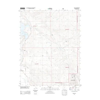
 2011 Dallas2011 Print · USGSCovers Ridgway, including Dallas, Ouray County, and other nearby areas
 - 2013 Map of Dallas, 2013 Print
 2013 Dallas2013 Print · USGSCovers Ridgway, including Dallas, Ouray County, and other nearby areas
 - 2013 Map of Ridgway, 2013 Print
 2013 Ridgway2013 Print · USGSCovers Ridgway, including Loghill Village, Ouray County, and other nearby areas
 - 2016 Map of Ridgway, 2016 Print
 2016 Ridgway2016 Print · USGSCovers Ridgway, including Loghill Village, Ouray County, and other nearby areas
 - 2016 Map of Dallas, 2016 Print
 2016 Dallas2016 Print · USGSCovers Ridgway, including Dallas, Ouray County, and other nearby areas
 - 2019 Map of Ridgway, 2019 Print
 2019 Ridgway2019 Print · USGSCovers Ridgway, including Loghill Village, Ouray County, and other nearby areas
 - 2019 Map of Dallas, 2019 Print
 2019 Dallas2019 Print · USGSCovers Ridgway, including Dallas, Ouray County, and other nearby areas
 - 2022 Map of Ridgway, 2022 Print
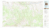
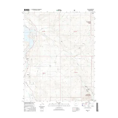
 2022 Ridgway2022 Print · USGSRidgway and the mesas of the Uncompahgre valley are captured here in the early twenty-first century. Genealogists and hikers can trace the Dallas Park Cem, the Blue Stem mine, and landmarks like Elephant Reservoir or the Knife Edge.
 - 2022 Map of Dallas, 2022 Print
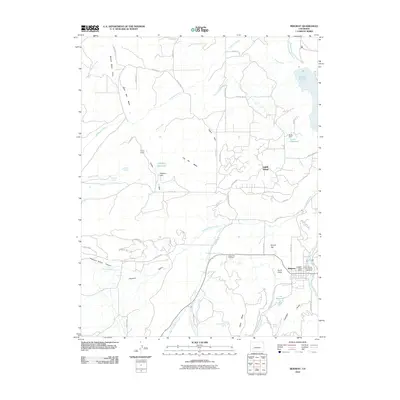
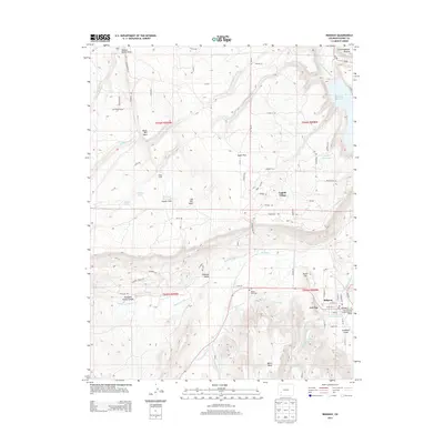
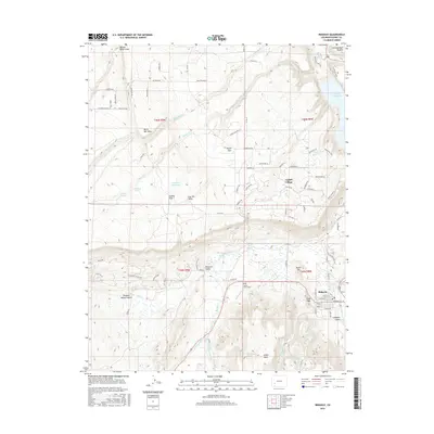
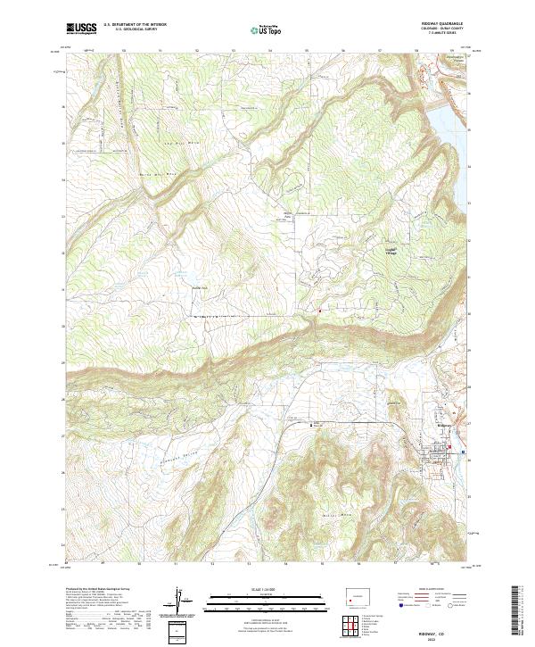
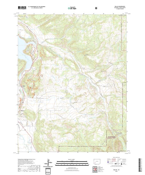 2022 Dallas2022 Print · USGSThe Uncompahgre River valley and the town of Ridgway are documented here in the early twenty-first century, showing a mix of agricultural heritage and modern mountain recreation. You can trace local landmarks like Orvis Hot Spring, the site of Dallas, and the complex irrigation network of Sneva Ditch.
End of results
Showing maps 1-21 of 21
Top cities near Ridgway
Frequently asked questions
- What are the different types of historical maps available for Ridgway?
- What is the oldest map of Ridgway?
- Where can I purchase historical maps of Ridgway for my home or office?
- Where can I download high-res historical maps of Ridgway?
- Are there historical topographic maps available for Ridgway?
- Is there historical aerial imagery available for Ridgway?
- Where are historical maps of Ridgway sourced from?