Loading...
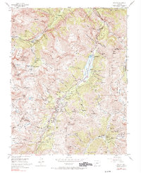
Loading map...1963 Map of Dallas
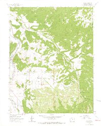
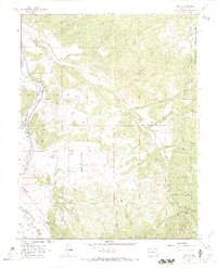
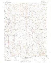
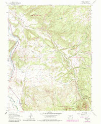
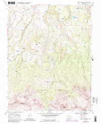
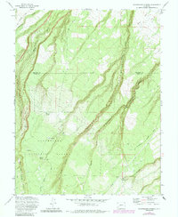
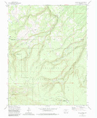
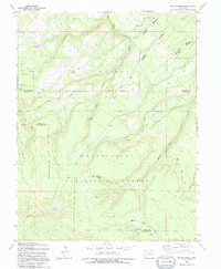
USGS Topo · Published 1966This historical map portrays the area of Dallas in 1963, primarily covering Ouray County. Featuring a scale of 1:24000, this map provides a highly detailed snapshot of the terrain, roads, buildings, counties, and historical landmarks in the Dallas region at the time. Published in 1966, it is one of 4 known editions of this map due to revisions or reprints.
Map Details
Date Portrayed1963
Date Published1966
PublisherU.S. Geological Survey
Map TypeTopographic
Scale1:24000
Physical Dimensions21.72 x 27 inches
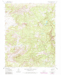
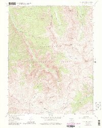
Editions of this 1963 Dallas Map
4 editions found
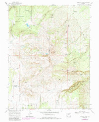
Historical Maps of Ridgway Through Time
9 maps found
Featured Locations
Source Details
SourceU.S. Geological Survey
CopyrightPublic Domain