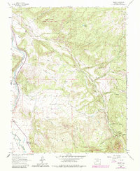
1963 Map of Dallas
USGS Topo · Published 1984About this map
Uncompahgre River flows through the western edge of this Colorado landscape, flanked by evidence of early mountain transit and recreation during the early 1960s. The settlement of Dallas and the nearby Orvis Hot Spring anchor the river valley, which also contains an Old Railroad Grade tracing the base of the foothills. This transport corridor served as a vital link for local industry, evidenced by features like the Gaging Sta and Gravel Pit.
Find a feature on this map
37 named features on this map. Tap any name to fly to it.
Don’t see what you’re looking for? This feature index may not catch every label — zoom into the map to look around manually.
Map Details
Editions of this 1963 Dallas Map
4 editions found
Other maps of this area

1902 · Ouray
USGS Topo · 1:62,500

1904 · Ouray
USGS Topo · 1:62,500

1909 · Montrose
USGS Topo · 1:125,000

1911 · Montrose
USGS Topo · 1:125,000

1955 · Ouray
USGS Topo · 1:24,000

1956 · Montrose
USGS Topo · 1:250,000

1959 · Montrose
USGS Topo · 1:250,000

1960 · Montrose
USGS Topo · 1:250,000
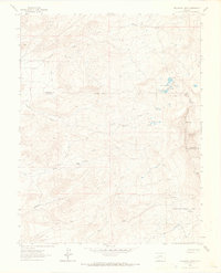
1963 · Buckhorn Lakes
USGS Topo · 1:24,000
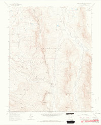
1963 · Courthouse Mountain
USGS Topo · 1:24,000