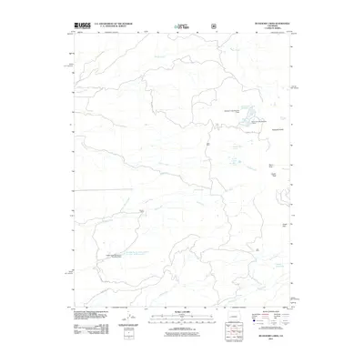
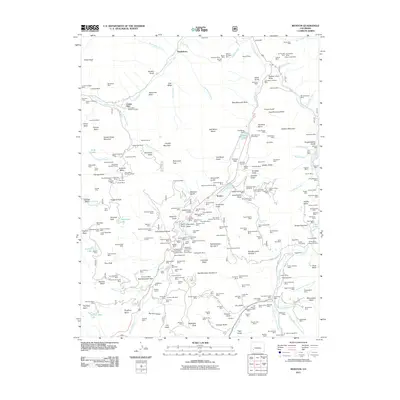
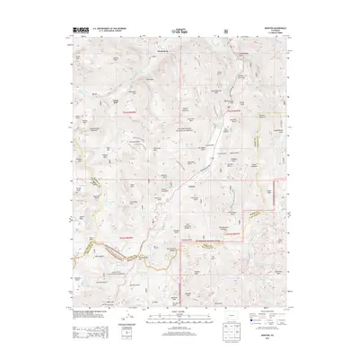
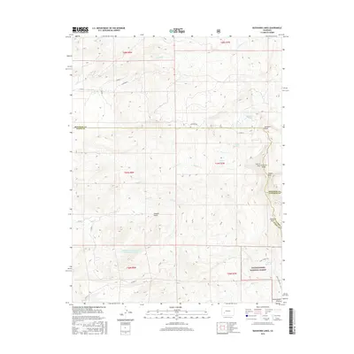
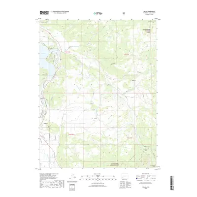
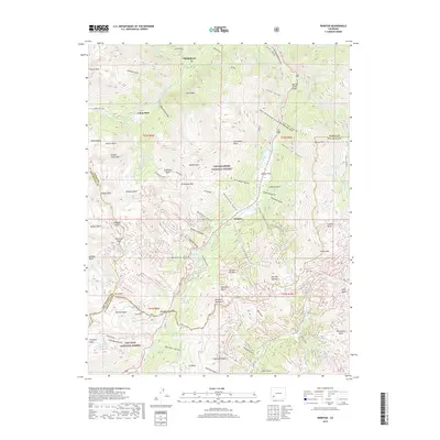
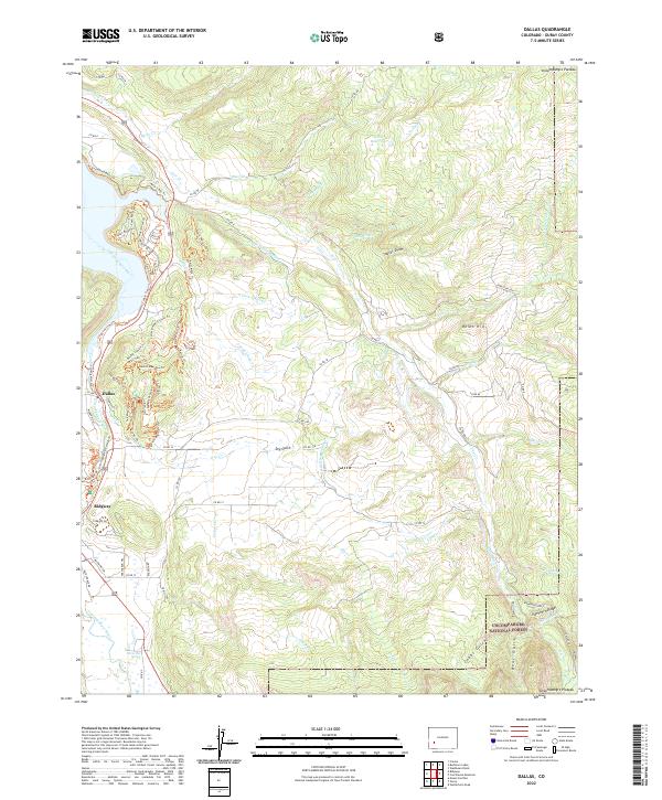
1963 Map of Dallas
USGS Topo · Published 1971About this map
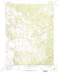
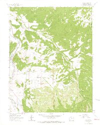
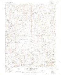
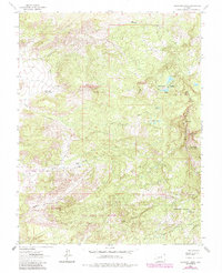
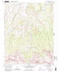
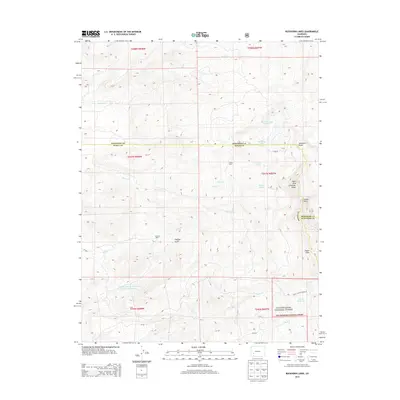
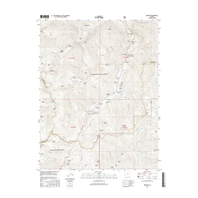
Dallas and the Uncompahgre River valley dominate this mid-century topographic survey, showing a landscape defined by the legacies of transportation and irrigation. The Denver and Rio Grande Western Railroad follows the river's path, while a discarded Old Railroad Grade traces the terrain nearby, marking the evolving infrastructure of the region. To the south, the County Fairground and Orvis Hot Spring stand as local landmarks amidst a complex network of water management features, including the Alkali Ditch No 1, Sneva Ditch, and Victor Reservoir. High ground transitions into the Uncompahgre National Forest, where named peaks and ridges like Onion Hill and Ramshorn Ridge rise above the many drainages and gulches. The presence of a Gaging Sta near Dallas indicates the ongoing importance of monitoring the river's flow for the surrounding agricultural and forest lands.
Find a feature on this map
46 named features on this map. Tap any name to fly to it.
Don’t see what you’re looking for? This feature index may not catch every label — zoom into the map to look around manually.
Map Details
Editions of this 1963 Dallas Map
4 editions found
Historical Maps of Ridgway Through Time
49 maps found
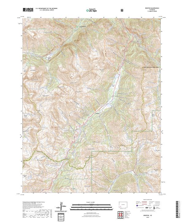
1955 Ironton
Ouray County, CO
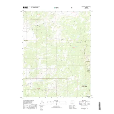
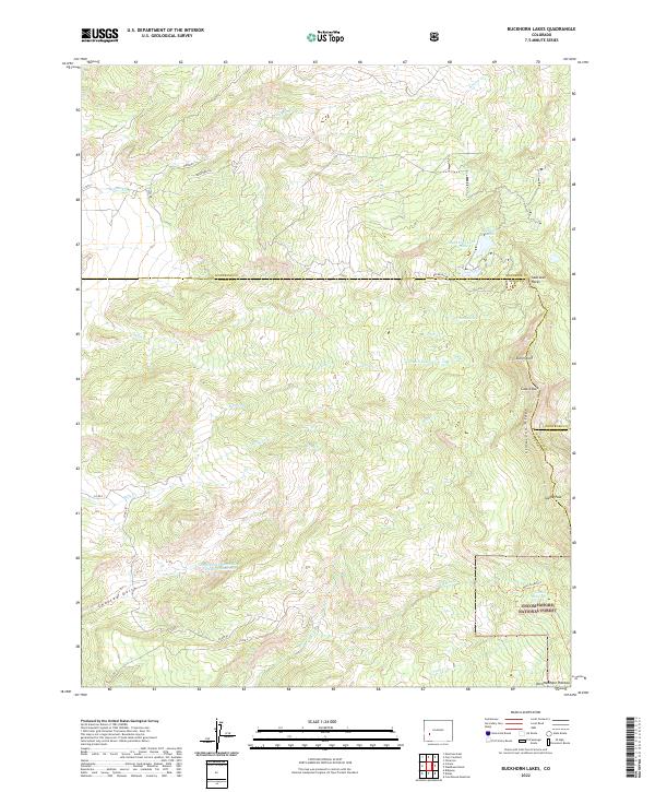
1963 Buckhorn Lakes
Ouray County, CO
1963 Dallas
Ouray County, CO
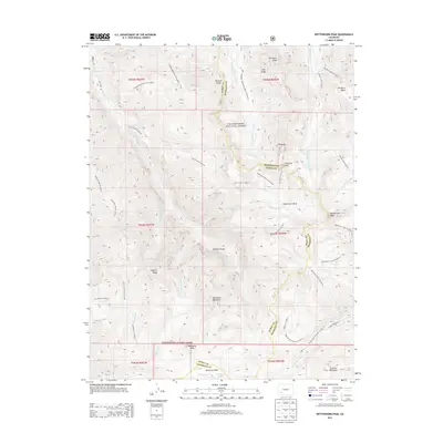
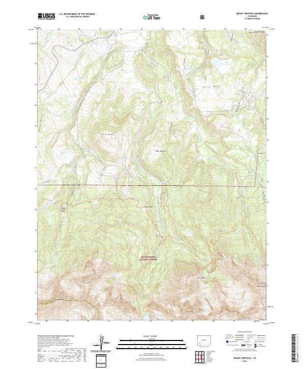
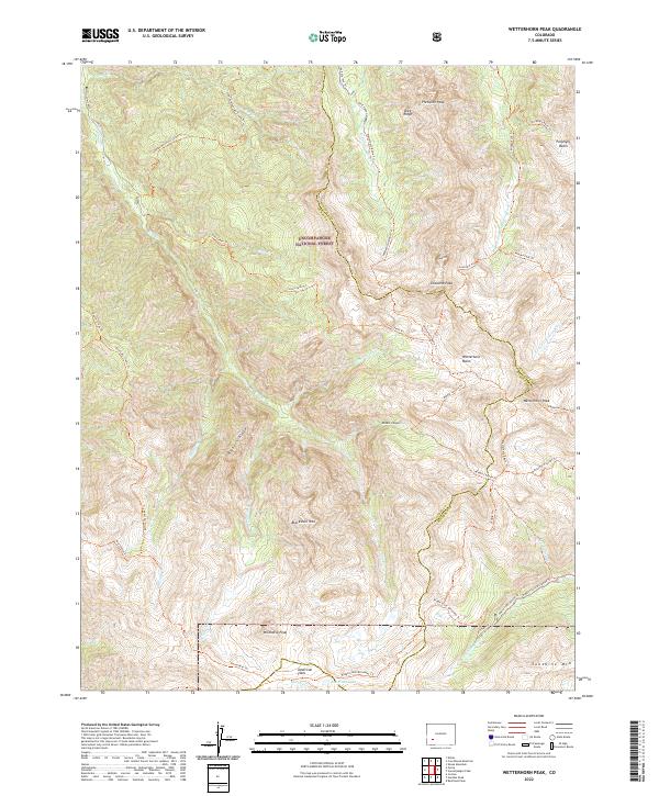
1963 Wetterhorn Peak
Ouray County, CO
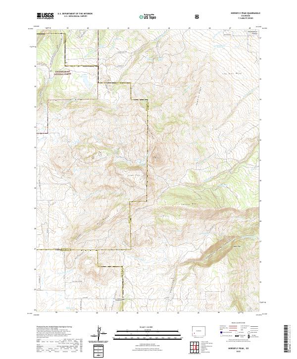
1967 Horsefly Peak
Ouray County, CO
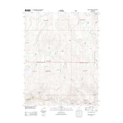
1967 Mount Sneffels
Ouray County, CO
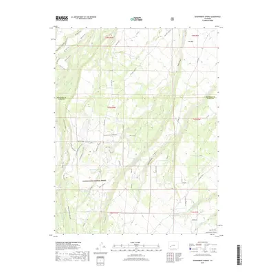
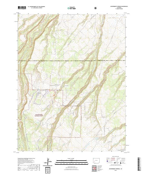
1973 Government Springs
Ouray County, CO
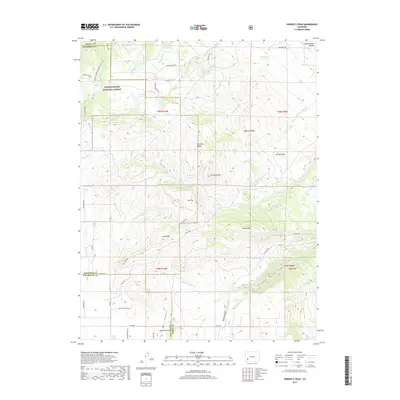
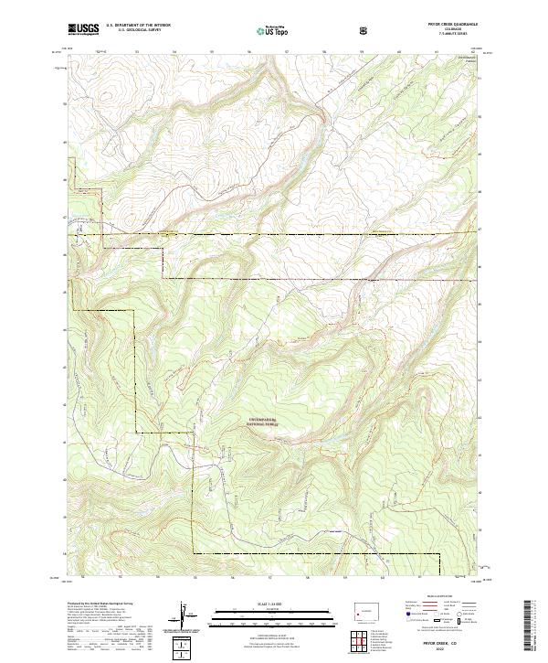
1973 Pryor Creek
Ouray County, CO
1994 Pryor Creek
Ouray County, CO
2011 Buckhorn Lakes
Ouray County, CO
2011 Dallas
Ouray County, CO
2011 Government Springs
Ouray County, CO
2011 Horsefly Peak
Ouray County, CO
2011 Ironton
Ouray County, CO
2011 Mount Sneffels
Ouray County, CO
2011 Pryor Creek
Ouray County, CO
2011 Wetterhorn Peak
Ouray County, CO
2013 Buckhorn Lakes
Ouray County, CO
2013 Dallas
Ouray County, CO
2013 Government Springs
Ouray County, CO
2013 Horsefly Peak
Ouray County, CO
2013 Ironton
Ouray County, CO
2013 Mount Sneffels
Ouray County, CO
2013 Pryor Creek
Ouray County, CO
2013 Wetterhorn Peak
Ouray County, CO
2016 Buckhorn Lakes
Ouray County, CO
2016 Dallas
Ouray County, CO
2016 Government Springs
Ouray County, CO
2016 Horsefly Peak
Ouray County, CO
2016 Ironton
Ouray County, CO
2016 Mount Sneffels
Ouray County, CO
2016 Pryor Creek
Ouray County, CO
2016 Wetterhorn Peak
Ouray County, CO
2019 Buckhorn Lakes
Ouray County, CO
2019 Dallas
Ouray County, CO
2019 Government Springs
Ouray County, CO
2019 Horsefly Peak
Ouray County, CO
2019 Ironton
Ouray County, CO
2019 Mount Sneffels
Ouray County, CO
2019 Pryor Creek
Ouray County, CO
2019 Wetterhorn Peak
Ouray County, CO
2022 Buckhorn Lakes
Ouray County, CO
2022 Dallas
Ouray County, CO
2022 Government Springs
Ouray County, CO
2022 Horsefly Peak
Ouray County, CO
2022 Mount Sneffels
Ouray County, CO
2022 Pryor Creek
Ouray County, CO
2022 Wetterhorn Peak
Ouray County, CO
2023 Ironton
Ouray County, CO