2020s Maps of Lower Connecticut River Valley Planning Region, Connecticut
Explore 37 historic maps of Lower Connecticut River Valley Planning Region from the 2020s. These maps offer a rare glimpse into what life looked like during the 2020s — showing old roads, neighborhoods, homes, and landmarks that have changed or disappeared over time.
Whether you're researching your family's past, planning a metal detecting trip, or studying how Lower Connecticut River Valley Planning Region's landscape evolved across the 2020s, these high-resolution maps are a powerful tool for exploring the history of this region.
- Focus on a specific era: All maps on this page are from the 2020s, giving you a focused view of this time period.
- See what’s changed: Compare century-old streets, trails, and buildings to today's modern landscape using overlays and satellite layers.
- Research with precision: Use these maps for genealogy, historical research, land use analysis, or educational projects.
- View, download, or print: Maps are fully viewable online in high resolution, and can be downloaded or printed for your own records.
Start exploring Lower Connecticut River Valley Planning Region's history through authentic maps from the 2020s. This is your window into the past.
Lower Connecticut River Valley Planning Region, CT maps
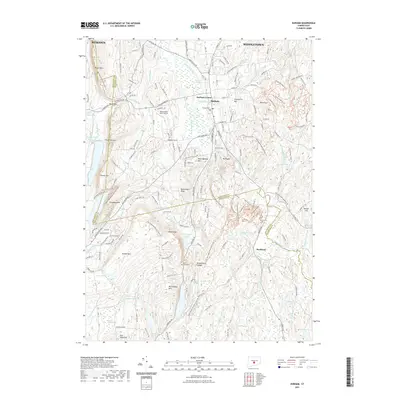
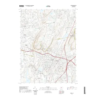
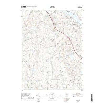
(37)- 2021 Map of Colchester, 2021 Print
 2021 Colchester2021 Print · USGSCovers Lower Connecticut River Valley Planning Region, including Colchester, Hebron, and other nearby areas
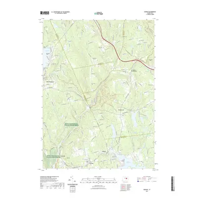
 - 2021 Map of Durham, 2021 Print
 2021 Durham2021 Print · USGSCovers Lower Connecticut River Valley Planning Region, including Meriden, Middletown, and other nearby areas
 - 2021 Map of Clinton OE S, 2021 Print
 2021 Clinton OE S2021 Print · USGSCovers Lower Connecticut River Valley Planning Region, including Southold, Madison, and other nearby areas
 - 2021 Map of Glastonbury, 2021 Print
 2021 Glastonbury2021 Print · USGSCovers Lower Connecticut River Valley Planning Region, including Manchester, East Hartford, and other nearby areas
 - 2021 Map of Deep River, 2021 Print
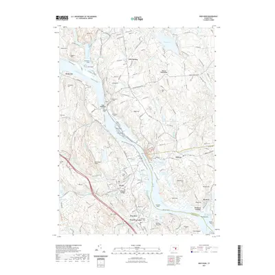 2021 Deep River2021 Print · USGSCovers Lower Connecticut River Valley Planning Region, including East Haddam, Haddam, and other nearby areas
 - 2021 Map of Middletown, 2021 Print
 2021 Middletown2021 Print · USGSCovers Lower Connecticut River Valley Planning Region, including Meriden, Middletown, and other nearby areas
 - 2021 Map of Essex, 2021 Print
 2021 Essex2021 Print · USGSCovers Lower Connecticut River Valley Planning Region, including Clinton, Old Saybrook, and other nearby areas
 - 2021 Map of Middle Haddam, 2021 Print
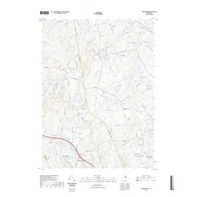
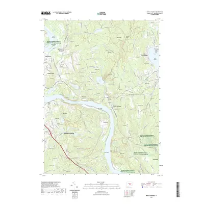 2021 Middle Haddam2021 Print · USGSCovers Lower Connecticut River Valley Planning Region, including Middletown, Cromwell, and other nearby areas
 - 2021 Map of Hartford South, 2021 Print
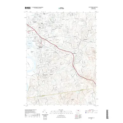
 2021 Hartford South2021 Print · USGSCovers Lower Connecticut River Valley Planning Region, including Hartford, West Hartford, and other nearby areas
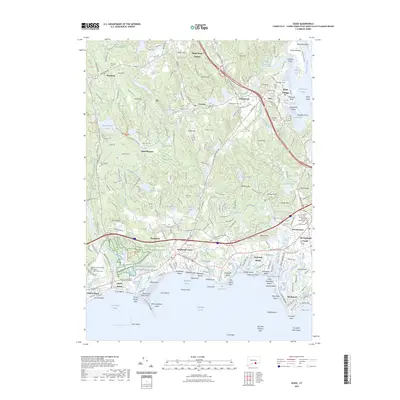
 - 2021 Map of Clinton, 2021 Print
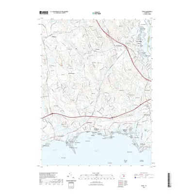
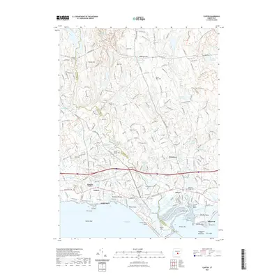 2021 Clinton2021 Print · USGSCovers Lower Connecticut River Valley Planning Region, including Madison, Clinton, and other nearby areas
 - 2021 Map of Meriden, 2021 Print
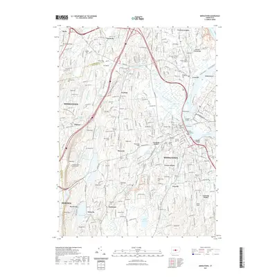
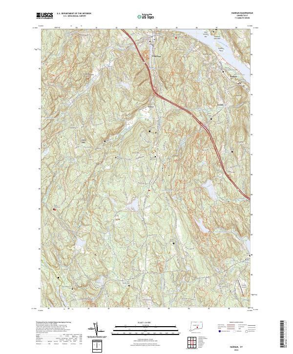
 2021 Meriden2021 Print · USGSCovers Lower Connecticut River Valley Planning Region, including Meriden, Middletown, and other nearby areas
 - 2021 Map of Moodus, 2021 Print
 2021 Moodus2021 Print · USGSCovers Lower Connecticut River Valley Planning Region, including Colchester, East Hampton, and other nearby areas
 - 2021 Map of Marlborough, 2021 Print
 2021 Marlborough2021 Print · USGSCovers Lower Connecticut River Valley Planning Region, including Manchester, Glastonbury, and other nearby areas
 - 2021 Map of Niantic, 2021 Print
 2021 Niantic2021 Print · USGSCovers Lower Connecticut River Valley Planning Region, including New London, Southold, and other nearby areas
 - 2021 Map of Haddam, 2021 Print
 2021 Haddam2021 Print · USGSCovers Lower Connecticut River Valley Planning Region, including Madison, Haddam, and other nearby areas
 - 2021 Map of Old Lyme, 2021 Print
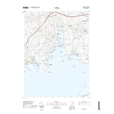
 2021 Old Lyme2021 Print · USGSCovers Lower Connecticut River Valley Planning Region, including East Lyme, Old Saybrook, and other nearby areas
 - 2021 Map of Hamburg, 2021 Print
 2021 Hamburg2021 Print · USGSCovers Lower Connecticut River Valley Planning Region, including East Lyme, East Haddam, and other nearby areas
 - 2023 Map of Orient, 2023 Print
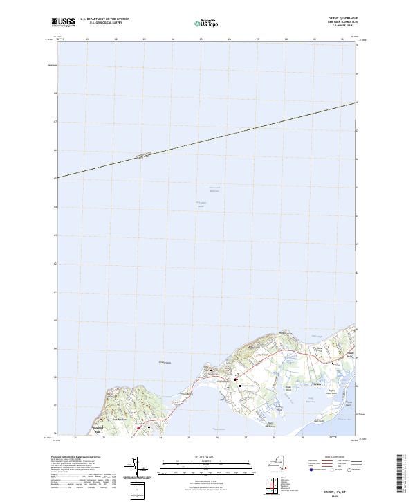 2023 Orient2023 Print · USGSModern-day Orient and East Marion appear here along the tip of Long Island's North Fork. Genealogists can trace family heritage through local landmarks like Terry Hill Cem, Orient Central Cem, and the historic waterfront around Orient Harbor.
 - 2023 Map of Plum Island, 2023 Print
 2023 Plum Island2023 Print · USGSThe tip of Long Island's North Fork and the isolated shores of Plum Island are documented here in the early twenty-first century. Researchers can trace local landmarks like Latham Cem, the transit hub at Orient Point, and maritime features such as Plum Gut Harbor.
 - 2023 Map of Essex, 2023 Print
 2023 Essex2023 Print · USGSCovers Lower Connecticut River Valley Planning Region, including Clinton, Old Saybrook, and other nearby areas
 - 2024 Map of Clinton, 2024 Print
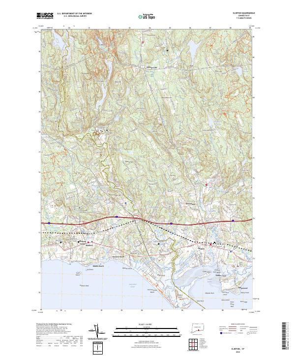 2024 Clinton2024 Print · USGSCoastal Middlesex County is detailed here during its modern development, spanning the shoreline between Madison Center and Clinton. Genealogists can locate several historic burial grounds including Evergreen Cem East and Indian River Cem, alongside landmarks like Hammonasset Beach State Park.
 - 2024 Map of Haddam, 2024 Print
 2024 Haddam2024 Print · USGSMiddlesex County's riverfront and upland settlements are documented here in the 2020s. Genealogists can locate numerous burial sites including the Thirty Mile Island Plantation Burial Yard, Stone House Cem, and Haddam Center Cem.
 - 2024 Map of Meriden, 2024 Print
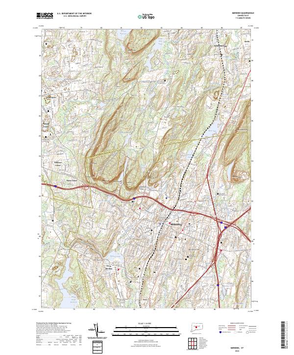 2024 Meriden2024 Print · USGSThe industrial heart of central Connecticut and its iconic traprock ridges are captured here in meticulous detail. Researchers can trace ancestral sites at Walnut Grove Cem, follow the Amtrak corridor, or explore the peaks of West Peak and Chauncey Peak.
 - 2024 Map of Deep River, 2024 Print
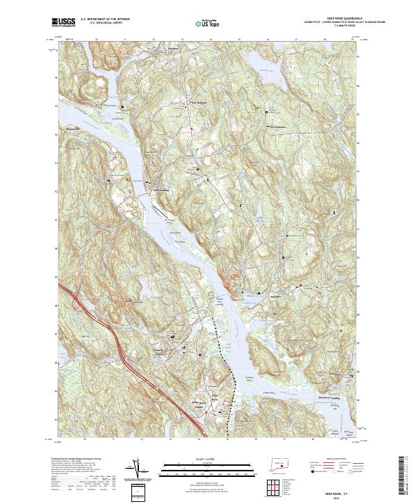 2024 Deep River2024 Print · USGSThe lower Connecticut River Valley at the turn of the millennium shows a landscape shaped by river transport and conservation. Researchers can trace historic family burial sites like Old Cove Burying Ground or locate the Valley Railroad and Chester Ferry Landing.
 - 2024 Map of Niantic, 2024 Print
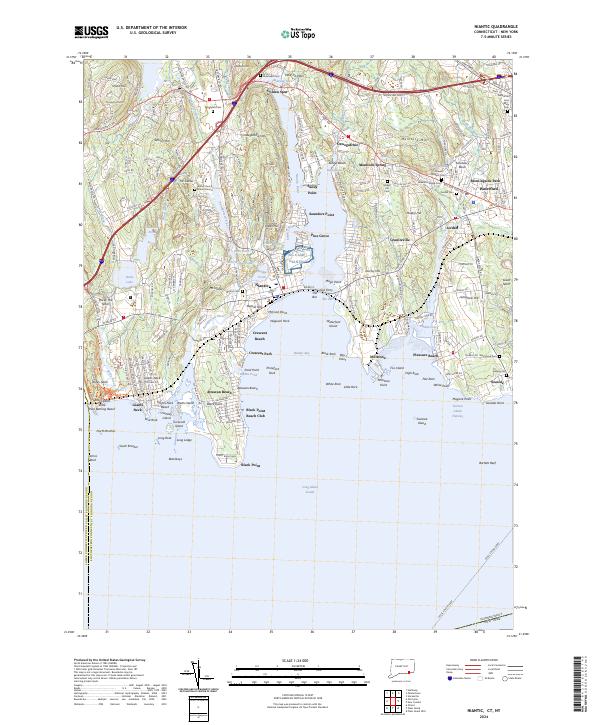 2024 Niantic2024 Print · USGSThe New London County coast comes alive in this survey, showcasing the maritime heritage of Niantic and Waterford. Genealogists and historians can trace family roots at Burial Ground or Riverhead Cem and explore the historic military presence at NG Camp Niantic.
Showing maps 1-25 of 37
Top cities of Lower Connecticut River Valley Planning Region
- Middletown historical maps
- Clinton historical maps
- Cromwell historical maps
- East Hampton historical maps
- Old Saybrook historical maps
- Portland historical maps
See more
Frequently asked questions
- What are the different types of historical maps available for Lower Connecticut River Valley Planning Region?
- What is the oldest map of Lower Connecticut River Valley Planning Region?
- Where can I purchase historical maps of Lower Connecticut River Valley Planning Region for my home or office?
- Where can I download high-res historical maps of Lower Connecticut River Valley Planning Region?
- Are there historical topographic maps available for Lower Connecticut River Valley Planning Region?
- Is there historical aerial imagery available for Lower Connecticut River Valley Planning Region?
- Where are historical maps of Lower Connecticut River Valley Planning Region sourced from?