2000s (21st Century) Maps of Lyme, Connecticut
Explore 21 historic maps of Lyme from the 2000s (21st Century). These maps offer a rare glimpse into what life looked like during the 2000s — showing old roads, neighborhoods, homes, and landmarks that have changed or disappeared over time.
Whether you're researching your family's past, planning a metal detecting trip, or studying how Lyme's landscape evolved across the 2000s, these high-resolution maps are a powerful tool for exploring the history of this region.
- Focus on a specific era: All maps on this page are from the 2000s, giving you a focused view of this time period.
- See what’s changed: Compare century-old streets, trails, and buildings to today's modern landscape using overlays and satellite layers.
- Research with precision: Use these maps for genealogy, historical research, land use analysis, or educational projects.
- View, download, or print: Maps are fully viewable online in high resolution, and can be downloaded or printed for your own records.
Start exploring Lyme's history through authentic maps from the 2000s. This is your window into the past.
Lyme, CT maps
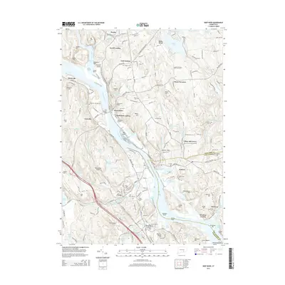
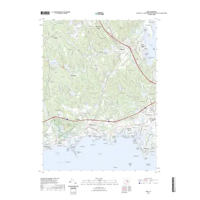
(21)- 2012 Map of Deep River, 2012 Print
 2012 Deep River2012 Print · USGSCovers Lyme, including East Haddam, Haddam, and other nearby areas
 - 2012 Map of Old Lyme, 2012 Print
 2012 Old Lyme2012 Print · USGSCovers Lyme, including East Lyme, Old Saybrook, and other nearby areas
 - 2012 Map of Hamburg, 2012 Print
 2012 Hamburg2012 Print · USGSCovers Lyme, including East Lyme, East Haddam, and other nearby areas
 - 2012 Map of Essex, 2012 Print
 2012 Essex2012 Print · USGSCovers Lyme, including Clinton, Old Saybrook, and other nearby areas
 - 2015 Map of Hamburg, 2015 Print
 2015 Hamburg2015 Print · USGSCovers Lyme, including East Lyme, East Haddam, and other nearby areas
 - 2015 Map of Old Lyme, 2015 Print
 2015 Old Lyme2015 Print · USGSCovers Lyme, including East Lyme, Old Saybrook, and other nearby areas
 - 2015 Map of Deep River, 2015 Print
 2015 Deep River2015 Print · USGSCovers Lyme, including East Haddam, Haddam, and other nearby areas
 - 2015 Map of Essex, 2015 Print
 2015 Essex2015 Print · USGSCovers Lyme, including Clinton, Old Saybrook, and other nearby areas
 - 2018 Map of Hamburg, 2018 Print
 2018 Hamburg2018 Print · USGSCovers Lyme, including East Lyme, East Haddam, and other nearby areas
 - 2018 Map of Essex, 2018 Print
 2018 Essex2018 Print · USGSCovers Lyme, including Clinton, Old Saybrook, and other nearby areas
 - 2018 Map of Deep River, 2018 Print
 2018 Deep River2018 Print · USGSCovers Lyme, including East Haddam, Haddam, and other nearby areas
 - 2018 Map of Old Lyme, 2018 Print
 2018 Old Lyme2018 Print · USGSCovers Lyme, including East Lyme, Old Saybrook, and other nearby areas
 - 2021 Map of Deep River, 2021 Print
 2021 Deep River2021 Print · USGSCovers Lyme, including East Haddam, Haddam, and other nearby areas
 - 2021 Map of Essex, 2021 Print
 2021 Essex2021 Print · USGSCovers Lyme, including Clinton, Old Saybrook, and other nearby areas
 - 2021 Map of Old Lyme, 2021 Print
 2021 Old Lyme2021 Print · USGSCovers Lyme, including East Lyme, Old Saybrook, and other nearby areas
 - 2021 Map of Hamburg, 2021 Print
 2021 Hamburg2021 Print · USGSCovers Lyme, including East Lyme, East Haddam, and other nearby areas
 - 2023 Map of Essex, 2023 Print
 2023 Essex2023 Print · USGSCovers Lyme, including Clinton, Old Saybrook, and other nearby areas
 - 2024 Map of Deep River, 2024 Print
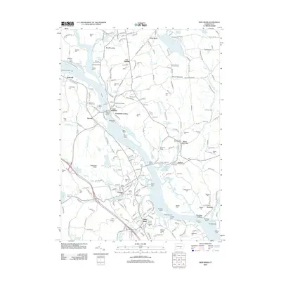
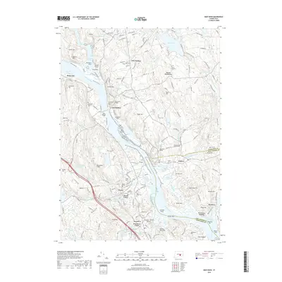
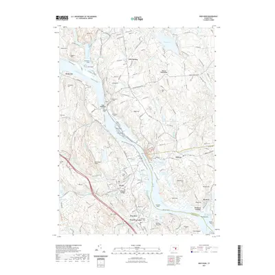
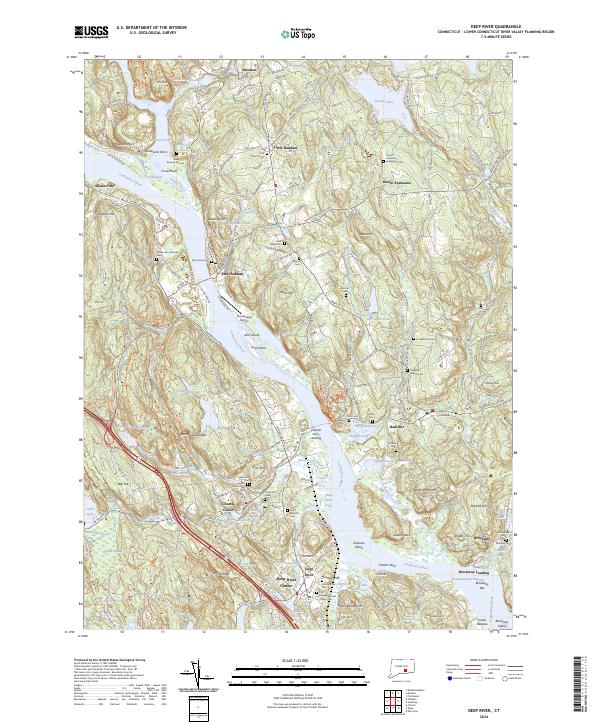 2024 Deep River2024 Print · USGSThe lower Connecticut River Valley at the turn of the millennium shows a landscape shaped by river transport and conservation. Researchers can trace historic family burial sites like Old Cove Burying Ground or locate the Valley Railroad and Chester Ferry Landing.
 - 2024 Map of Essex, 2024 Print
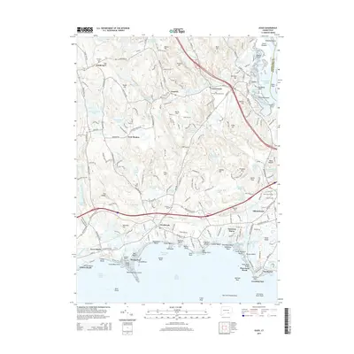
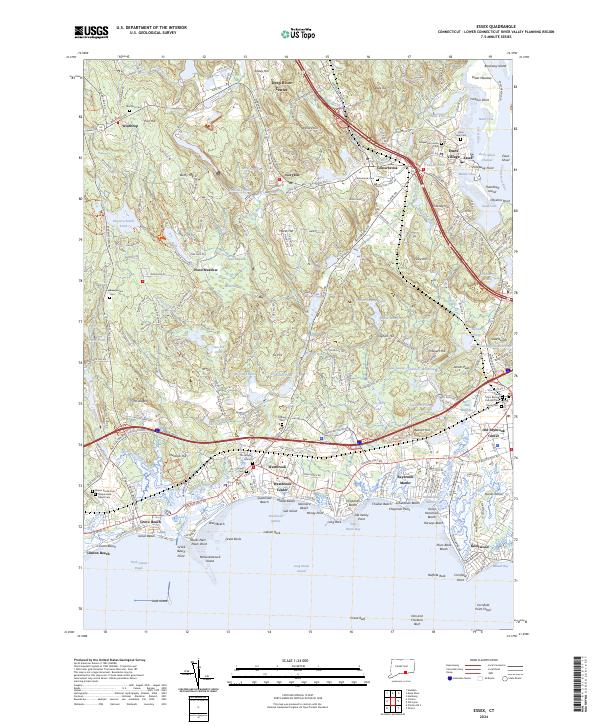 2024 Essex2024 Print · USGSSoutheastern Connecticut’s river-and-rail heritage is preserved in this modern survey of the lower Connecticut River valley. Researchers can trace historic family burial sites at the Old Burying Ground or locate the village centers of Essex Village and Ivoryton.
 - 2024 Map of Hamburg, 2024 Print
 2024 Hamburg2024 Print · USGSCoastal Connecticut’s inland hills and river valleys are captured here in the contemporary era, centered on the villages of Hamburg and North Lyme. Genealogists and hikers can trace numerous family burial sites like Whittlesey Cem or explore the corridor of the Eightmile Wild and Scenic River.
 - 2024 Map of Old Lyme, 2024 Print
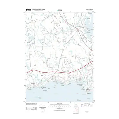
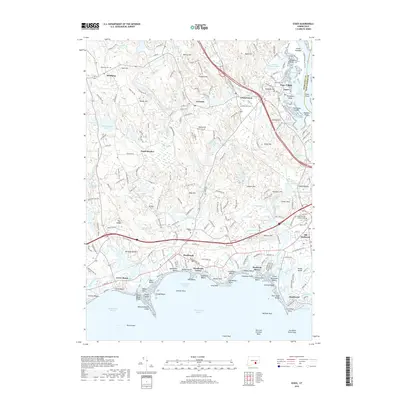
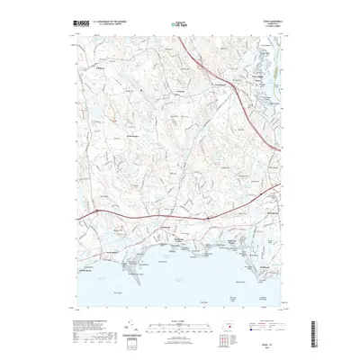
 2024 Old Lyme2024 Print · USGSCoastal New London County is captured here at the meeting of the river and the Sound. Genealogists and researchers can locate several early burial sites, including the Old Meeting House Hill Burying Ground and Lord Graveyard.
End of results
Showing maps 1-21 of 21
Top cities near Lyme
- Middletown historical maps
- Norwich historical maps
- East Hampton historical maps
- Southold historical maps
- Montville historical maps
- Waterford historical maps
See more
Top neighborhoods of Lyme
- Brockway Landing historical maps
- Hadlyme historical maps
- Hamburg historical maps
- North Lyme historical maps
- Sterling City historical maps
- Brockway historical maps
See more
Frequently asked questions
- What are the different types of historical maps available for Lyme?
- What is the oldest map of Lyme?
- Where can I purchase historical maps of Lyme for my home or office?
- Where can I download high-res historical maps of Lyme?
- Are there historical topographic maps available for Lyme?
- Is there historical aerial imagery available for Lyme?
- Where are historical maps of Lyme sourced from?