2020s Maps of Southeastern Connecticut Planning Region, Connecticut
Explore 45 historic maps of Southeastern Connecticut Planning Region from the 2020s. These maps offer a rare glimpse into what life looked like during the 2020s — showing old roads, neighborhoods, homes, and landmarks that have changed or disappeared over time.
Whether you're researching your family's past, planning a metal detecting trip, or studying how Southeastern Connecticut Planning Region's landscape evolved across the 2020s, these high-resolution maps are a powerful tool for exploring the history of this region.
- Focus on a specific era: All maps on this page are from the 2020s, giving you a focused view of this time period.
- See what’s changed: Compare century-old streets, trails, and buildings to today's modern landscape using overlays and satellite layers.
- Research with precision: Use these maps for genealogy, historical research, land use analysis, or educational projects.
- View, download, or print: Maps are fully viewable online in high resolution, and can be downloaded or printed for your own records.
Start exploring Southeastern Connecticut Planning Region's history through authentic maps from the 2020s. This is your window into the past.
Southeastern Connecticut Planning Region, CT maps
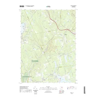
(45)- 2021 Map of Jewett City, 2021 Print
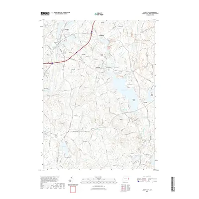 2021 Jewett City2021 Print · USGSCovers Southeastern Connecticut Planning Region, including Griswold, North Stonington, and other nearby areas
 - 2021 Map of Voluntown, 2021 Print
 2021 Voluntown2021 Print · USGSCovers Southeastern Connecticut Planning Region, including Griswold, Hopkinton, and other nearby areas
 - 2021 Map of Old Mystic, 2021 Print
 2021 Old Mystic2021 Print · USGSCovers Southeastern Connecticut Planning Region, including Groton, Ledyard, and other nearby areas
 - 2021 Map of Palmertown, 2021 Print
 2021 Palmertown2021 Print · USGSCovers Southeastern Connecticut Planning Region, including Montville, Waterford, and other nearby areas
 - 2021 Map of Uncasville, 2021 Print
 2021 Uncasville2021 Print · USGSCovers Southeastern Connecticut Planning Region, including Norwich, Groton, and other nearby areas
 - 2021 Map of Colchester, 2021 Print
 2021 Colchester2021 Print · USGSCovers Southeastern Connecticut Planning Region, including Colchester, Hebron, and other nearby areas
 - 2021 Map of Scotland, 2021 Print
 2021 Scotland2021 Print · USGSCovers Southeastern Connecticut Planning Region, including Windham, Canterbury, and other nearby areas
 - 2021 Map of Plainfield, 2021 Print
 2021 Plainfield2021 Print · USGSCovers Southeastern Connecticut Planning Region, including Plainfield, Griswold, and other nearby areas
 - 2021 Map of Norwich, 2021 Print
 2021 Norwich2021 Print · USGSCovers Southeastern Connecticut Planning Region, including Norwich, Montville, and other nearby areas
 - 2021 Map of New London, 2021 Print
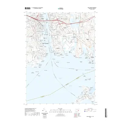 2021 New London2021 Print · USGSCovers Southeastern Connecticut Planning Region, including Groton, New London, and other nearby areas
 - 2021 Map of Fitchville, 2021 Print
 2021 Fitchville2021 Print · USGSCovers Southeastern Connecticut Planning Region, including Norwich, Montville, and other nearby areas
 - 2021 Map of Columbia, 2021 Print
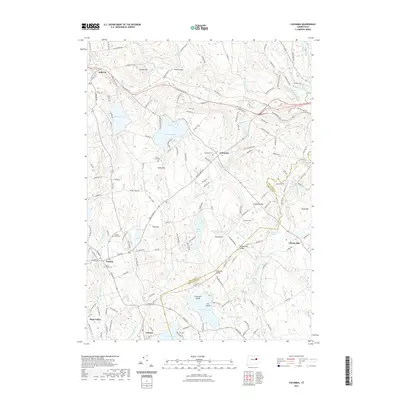 2021 Columbia2021 Print · USGSCovers Southeastern Connecticut Planning Region, including Mansfield, Windham, and other nearby areas
 - 2021 Map of Spring Hill, 2021 Print
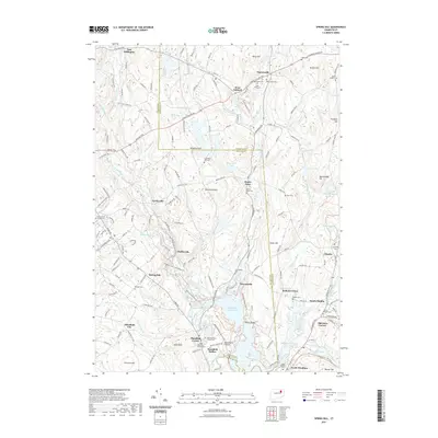 2021 Spring Hill2021 Print · USGSCovers Southeastern Connecticut Planning Region, including Mansfield, Windham, and other nearby areas
 - 2021 Map of Willimantic, 2021 Print
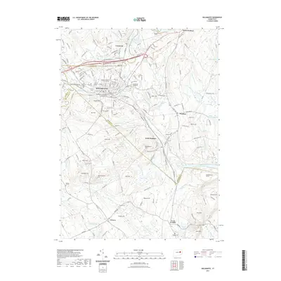 2021 Willimantic2021 Print · USGSCovers Southeastern Connecticut Planning Region, including Mansfield, Windham, and other nearby areas
 - 2021 Map of Moodus, 2021 Print
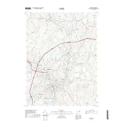
 2021 Moodus2021 Print · USGSCovers Southeastern Connecticut Planning Region, including Colchester, East Hampton, and other nearby areas
 - 2021 Map of Niantic, 2021 Print
 2021 Niantic2021 Print · USGSCovers Southeastern Connecticut Planning Region, including New London, Southold, and other nearby areas
 - 2021 Map of Old Lyme, 2021 Print
 2021 Old Lyme2021 Print · USGSCovers Southeastern Connecticut Planning Region, including East Lyme, Old Saybrook, and other nearby areas
 - 2021 Map of Hamburg, 2021 Print
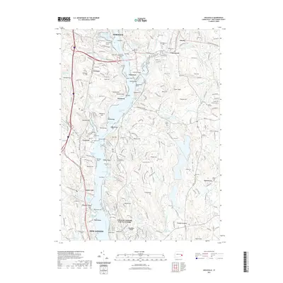
 2021 Hamburg2021 Print · USGSCovers Southeastern Connecticut Planning Region, including East Lyme, East Haddam, and other nearby areas
 - 2021 Map of Watch Hill, 2021 Print
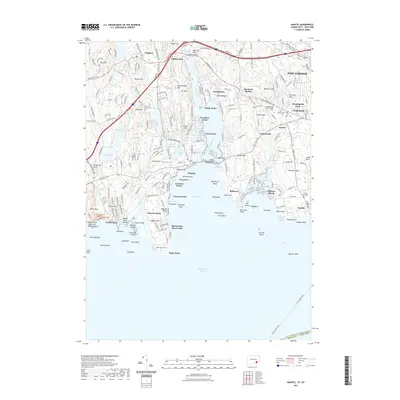
 2021 Watch Hill2021 Print · USGSCovers Southeastern Connecticut Planning Region, including Southold, Westerly, and other nearby areas
 - 2021 Map of Mystic, 2021 Print
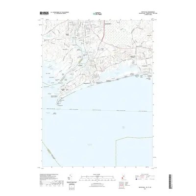
 2021 Mystic2021 Print · USGSCovers Southeastern Connecticut Planning Region, including Groton, Southold, and other nearby areas
 - 2021 Map of Ashaway, 2021 Print
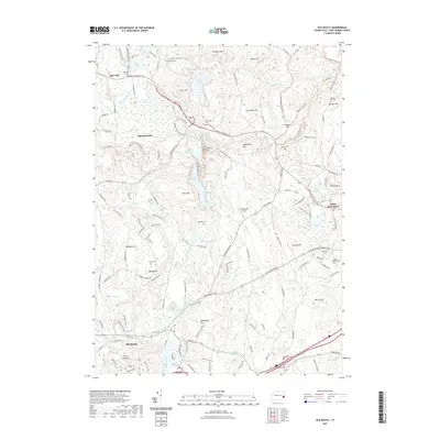
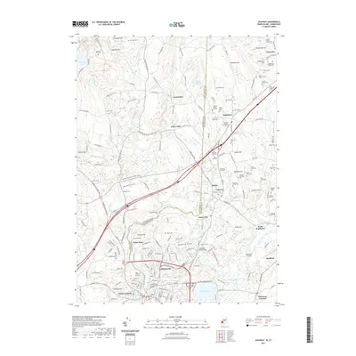 2021 Ashaway2021 Print · USGSCovers Southeastern Connecticut Planning Region, including Westerly, Hopkinton, and other nearby areas
 - 2023 Map of Plum Island, 2023 Print
 2023 Plum Island2023 Print · USGSThe tip of Long Island's North Fork and the isolated shores of Plum Island are documented here in the early twenty-first century. Researchers can trace local landmarks like Latham Cem, the transit hub at Orient Point, and maritime features such as Plum Gut Harbor.
 - 2023 Map of Spring Hill, 2023 Print
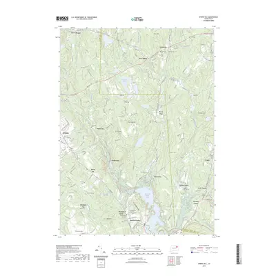 2023 Spring Hill2023 Print · USGSCovers Southeastern Connecticut Planning Region, including Mansfield, Windham, and other nearby areas
 - 2023 Map of Plainfield, 2023 Print
 2023 Plainfield2023 Print · USGSCovers Southeastern Connecticut Planning Region, including Plainfield, Griswold, and other nearby areas
 - 2024 Map of Watch Hill, 2024 Print
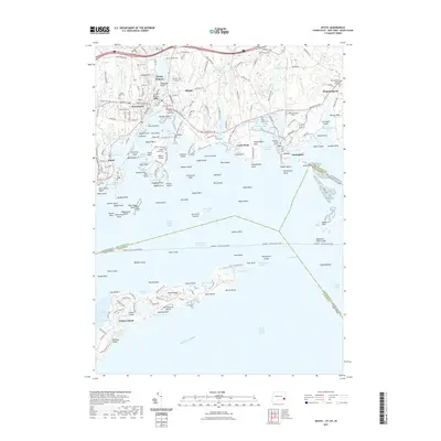
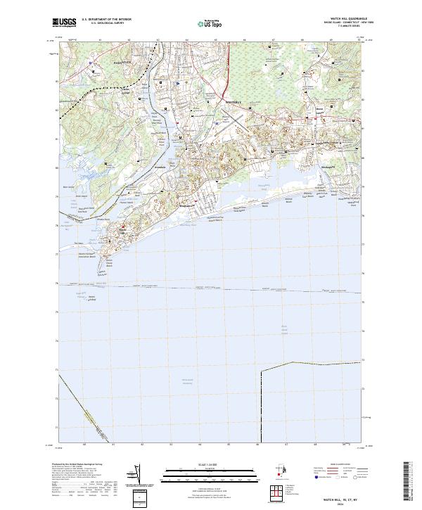 2024 Watch Hill2024 Print · USGSThe coastal border of Rhode Island and Connecticut comes alive in this survey of the shoreline as it appeared in 2024. Genealogists can trace scores of family burial sites like the Quaker Burial Ground and Saint Sebastian Cem near the Pawcatuck River.
Showing maps 1-25 of 45
Top cities of Southeastern Connecticut Planning Region
- Norwich historical maps
- Groton historical maps
- New London historical maps
- Windham historical maps
- Montville historical maps
- Waterford historical maps
See more
Frequently asked questions
- What are the different types of historical maps available for Southeastern Connecticut Planning Region?
- What is the oldest map of Southeastern Connecticut Planning Region?
- Where can I purchase historical maps of Southeastern Connecticut Planning Region for my home or office?
- Where can I download high-res historical maps of Southeastern Connecticut Planning Region?
- Are there historical topographic maps available for Southeastern Connecticut Planning Region?
- Is there historical aerial imagery available for Southeastern Connecticut Planning Region?
- Where are historical maps of Southeastern Connecticut Planning Region sourced from?