2020s Maps of Western Connecticut Planning Region, Connecticut
Explore 41 historic maps of Western Connecticut Planning Region from the 2020s. These maps offer a rare glimpse into what life looked like during the 2020s — showing old roads, neighborhoods, homes, and landmarks that have changed or disappeared over time.
Whether you're researching your family's past, planning a metal detecting trip, or studying how Western Connecticut Planning Region's landscape evolved across the 2020s, these high-resolution maps are a powerful tool for exploring the history of this region.
- Focus on a specific era: All maps on this page are from the 2020s, giving you a focused view of this time period.
- See what’s changed: Compare century-old streets, trails, and buildings to today's modern landscape using overlays and satellite layers.
- Research with precision: Use these maps for genealogy, historical research, land use analysis, or educational projects.
- View, download, or print: Maps are fully viewable online in high resolution, and can be downloaded or printed for your own records.
Start exploring Western Connecticut Planning Region's history through authentic maps from the 2020s. This is your window into the past.
Western Connecticut Planning Region, CT maps
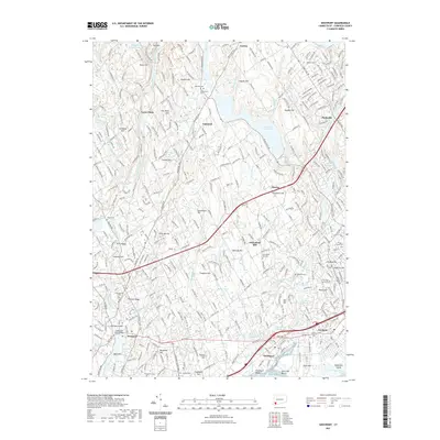
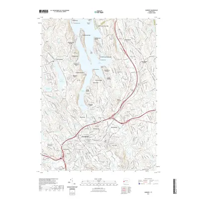
(41)- 2021 Map of Newtown, 2021 Print
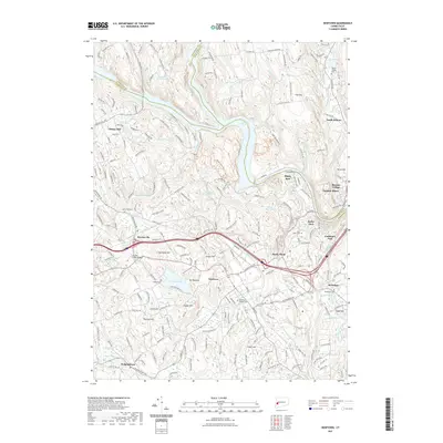 2021 Newtown2021 Print · USGSCovers Western Connecticut Planning Region, including Southbury, Bethel, and other nearby areas
 - 2021 Map of Stamford, 2021 Print
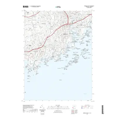
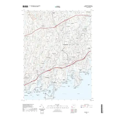 2021 Stamford2021 Print · USGSCovers Western Connecticut Planning Region, including Stamford, Greenwich, and other nearby areas
 - 2021 Map of Sherwood Point, 2021 Print
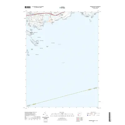 2021 Sherwood Point2021 Print · USGSCovers Western Connecticut Planning Region, including Huntington, Smithtown, and other nearby areas
 - 2021 Map of Roxbury, 2021 Print
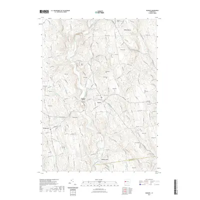 2021 Roxbury2021 Print · USGSCovers Western Connecticut Planning Region, including Southbury, Woodbury, and other nearby areas
 - 2021 Map of Bethel, 2021 Print
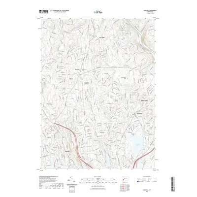
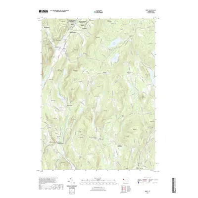
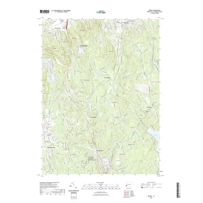 2021 Bethel2021 Print · USGSCovers Western Connecticut Planning Region, including Danbury, Bethel, and other nearby areas
 - 2021 Map of Glenville, 2021 Print
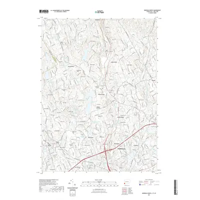
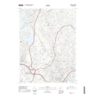 2021 Glenville2021 Print · USGSCovers Western Connecticut Planning Region, including Greenwich, White Plains, and other nearby areas
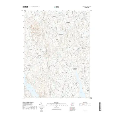
 - 2021 Map of New Milford, 2021 Print
 2021 New Milford2021 Print · USGSCovers Western Connecticut Planning Region, including Brookfield, New Fairfield, and other nearby areas
 - 2021 Map of Southbury, 2021 Print
 2021 Southbury2021 Print · USGSCovers Western Connecticut Planning Region, including Shelton, Southbury, and other nearby areas
 - 2021 Map of New Preston, 2021 Print
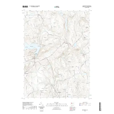 2021 New Preston2021 Print · USGSCovers Western Connecticut Planning Region, including Litchfield, New Milford, and other nearby areas
 - 2021 Map of Westport, 2021 Print
 2021 Westport2021 Print · USGSCovers Western Connecticut Planning Region, including Fairfield, Westport, and other nearby areas
 - 2021 Map of Long Hill, 2021 Print
 2021 Long Hill2021 Print · USGSCovers Western Connecticut Planning Region, including Stratford, Shelton, and other nearby areas
 - 2021 Map of Norwalk South, 2021 Print
 2021 Norwalk South2021 Print · USGSCovers Western Connecticut Planning Region, including Huntington, Stamford, and other nearby areas
 - 2021 Map of Danbury, 2021 Print
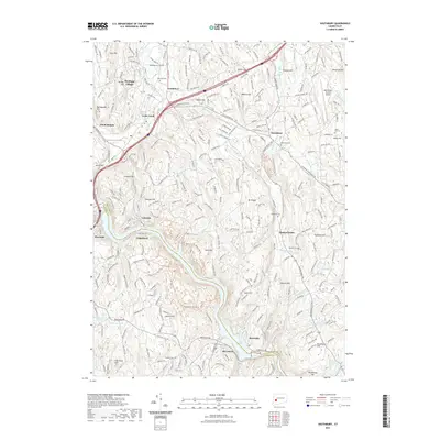
 2021 Danbury2021 Print · USGSCovers Western Connecticut Planning Region, including Danbury, Bethel, and other nearby areas
 - 2021 Map of Kent, 2021 Print
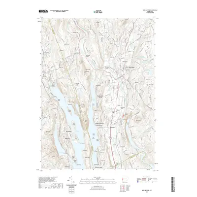
 2021 Kent2021 Print · USGSCovers Western Connecticut Planning Region, including New Milford, Washington, and other nearby areas
 - 2021 Map of Botsford, 2021 Print
 2021 Botsford2021 Print · USGSCovers Western Connecticut Planning Region, including Trumbull, Monroe, and other nearby areas
 - 2021 Map of Norwalk North, 2021 Print
 2021 Norwalk North2021 Print · USGSCovers Western Connecticut Planning Region, including Norwalk, Westport, and other nearby areas
 - 2023 Map of Dover Plains, 2023 Print
 2023 Dover Plains2023 Print · USGSThe Dutchess County borderlands come into focus in this contemporary survey of the Tenmile River valley. Genealogists and hikers can trace family roots at the Hoag Family Burial Ground or follow the Appalachian National Scenic Trail past Wingdale and Dover Plains.
 - 2023 Map of Mount Kisco, 2023 Print
 2023 Mount Kisco2023 Print · USGSWestchester County's complex landscape of rail corridors and reservoirs is captured here as it appeared in the early 2020s. Researchers can locate family landmarks at Oakwood Cem, Union Cem, and the Old Quaker Burial Ground.
 - 2023 Map of Brewster, 2023 Print
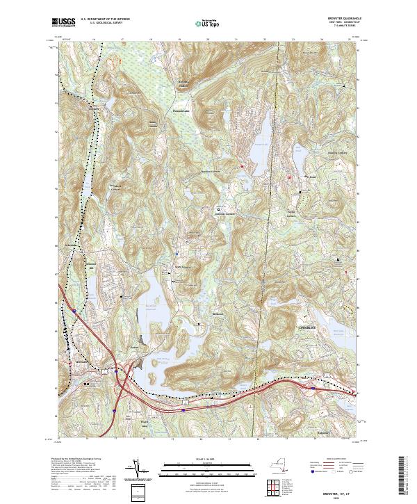 2023 Brewster2023 Print · USGSBrewster and the surrounding Putnam County borderlands are shown here in the early twenty-first century, just as the regional reservoir system and rail lines continue to shape the valley. Researchers can pinpoint numerous family burial sites and old hamlets like the Sears Burying Ground, Sodom, and Steinbeck Corners.
 - 2023 Map of Pound Ridge, 2023 Print
 2023 Pound Ridge2023 Print · USGSThe Westchester and Connecticut borderlands are documented here during a period of modern preservation and suburban maturity. Genealogists can locate numerous family burial sites, from Burial Hill to the Potters Field of Stamford Cem, while tracing the wooded depths of Mianus Gorge.
 - 2023 Map of Peach Lake, 2023 Print
 2023 Peach Lake2023 Print · USGSThe Westchester and Putnam County borderlands meet Connecticut in this recent survey of the North Salem area. Genealogists can locate family sites at the Peach Pond Friends Cem or trace the early paths of Old Post Rd near Waccabuc.
 - 2023 Map of Pawling, 2023 Print
 2023 Pawling2023 Print · USGSDutchess County at the start of the 2020s shows a landscape where high-ridge hiking trails overlook historic valley settlements. Genealogists can trace family names through the Akin Family Burial Ground, Watts Cem, and the Old Baptist Burying Ground.
 - 2023 Map of Lloyd Harbor, 2023 Print
 2023 Lloyd Harbor2023 Print · USGSThe North Shore of Long Island is captured here in the contemporary era, showing a landscape of exclusive harbor towns and historic estates. Trace the grounds of Sagamore Hill, locate Lefferts Mill, and explore the protected coastlines of Eatons Neck and Lloyd Harbor.
 - 2023 Map of Mamaroneck, 2023 Print
 2023 Mamaroneck2023 Print · USGSThe Westchester coast near the Long Island Sound shows a landscape of dense residential growth and historic burial sites. Genealogists can trace family names at Haviland Cem or Solomon Gedney Burial Ground and study the transit network near Port Chester.
 - 2023 Map of Bayville, 2023 Print
 2023 Bayville2023 Print · USGSThe northern shore of Long Island is captured here in detail, showcasing the unique geography of peninsulas and protected harbors. Researchers can find historical landmarks like Sagamore Hill and several local burial grounds including Locust Valley Cem.
Showing maps 1-25 of 41
Top cities of Western Connecticut Planning Region
- Stamford historical maps
- Norwalk historical maps
- Danbury historical maps
- Greenwich historical maps
- Westport historical maps
- Darien historical maps
See more
Frequently asked questions
- What are the different types of historical maps available for Western Connecticut Planning Region?
- What is the oldest map of Western Connecticut Planning Region?
- Where can I purchase historical maps of Western Connecticut Planning Region for my home or office?
- Where can I download high-res historical maps of Western Connecticut Planning Region?
- Are there historical topographic maps available for Western Connecticut Planning Region?
- Is there historical aerial imagery available for Western Connecticut Planning Region?
- Where are historical maps of Western Connecticut Planning Region sourced from?