Old Maps of Bridgeville, Delaware for Academic Research
Study the evolution of Bridgeville with 32 high-resolution historic maps. Whether you're teaching, researching, or modeling changes in land use, these maps provide essential visual documentation of urban, environmental, and geographic change.
- Analyze long-term change: Track patterns in development, transportation, and natural features.
- Ideal for environmental or urban studies: Support academic projects with primary historical map data.
- Use in the classroom or lab: Educators and researchers rely on these maps to bring historical context to life.
These maps are a powerful tool for teaching, research, and visualizing how Bridgeville has changed over the decades.
Bridgeville, DE maps
(32)- 1915 Map of Seaford
 1915 Seaford1915 Print · USGSCoastal Sussex County and the Maryland borderlands are seen here at a time when river traffic and rail lines were the lifeblood of the region. Researchers can trace the Steamboat Route up to Seaford or locate ancestral sites like Cannons Ferry and Cokesbury School.4 unique versions available
 - 1918 Map of Harrington
 1918 Harrington1918 Print · USGSThe Kent and Sussex County borderlands at the end of the Great War reveal a landscape of busy rail corridors and small schoolhouses. Researchers can trace the legacy of rural education at Union Chapel School or locate family roots near Harrington and Hickman.4 unique versions available
 - 1944 Map of Seaford
 1944 Seaford1944 Print · USGSWestern Sussex County is shown at a mid-century peak of river and rail commerce, featuring the Nanticoke River Steamboat Route. Genealogists can trace family footprints across dozens of local school sites and river crossings like Cannons Ferry and Baileys Landing.
 - 1944 Map of Harrington
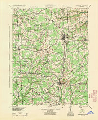 1944 Harrington1944 Print · USGSThe Delaware-Maryland borderlands in the mid-1940s are defined here by the Pennsylvania rail line and a high density of rural schoolhouses. Genealogists can trace family names across dozens of crossroads like Minners Corners or locate remote landmarks such as Union Chapel Sch and White Marsh.
 - 1946 Map of Salisbury, 1948 Print
 1946 Salisbury1948 Print · USGSThe Delmarva Peninsula in the late nineteen-forties shows a landscape defined by its deep river arteries and emerging coastal defenses. Genealogists and historians can trace rail-connected towns like Federalsburg or locate maritime landmarks such as the Ocean City Seaplane Base and Fort Miles Military Reservation.4 unique versions available
 - 1947 Map of Salisbury, 1948 Print
 1947 Salisbury1948 Print · USGSThe Delmarva Peninsula in the late forties reveals a coastal landscape of maritime defense and growing seaside towns. Trace the post-war footprint of Salisbury, the strategic Fort Miles Military Reservation, and the Ocean City Seaplane Base.
 - 1948 Map of Salisbury, 1951 Print
 1948 Salisbury1951 Print · USGSThe Delmarva Peninsula in the late 1940s is shown here as a busy network of rail-towns and coastal outposts. Researchers can trace the legacy of the Pennsylvania Railroad through inland hubs like Georgetown or the maritime reaches of Crisfield and Cape May.
 - 1955 Map of Seaford East, 1957 Print
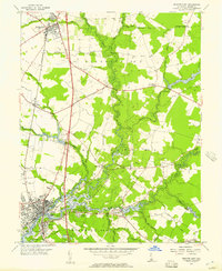 1955 Seaford East1957 Print · USGSSussex County's river-driven geography is captured here in the mid-1950s, centered on the growth of Seaford and Bridgeville. Genealogists and historians can trace old community landmarks like the Frederick Douglass Sch, Chaplins Chapel, and the historic Middleford settlement.2 unique versions available
 - 1955 Map of Greenwood, 1957 Print
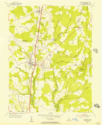 1955 Greenwood1957 Print · USGSCentral Delaware's Sussex County in the mid-fifties shows a landscape of rail-side towns and marshy woodlots. Trace family roots and local landmarks from Greenwood to Staytonville, including St Johnstown Ch and Devils Woodyard.2 unique versions available
 - 1955 Map of Seaford West, 1957 Print
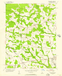 1955 Seaford West1957 Print · USGSSussex County, Delaware, is captured in the mid-fifties at the Maryland state line, showing a landscape of small crossroads and creek-side industry. Researchers can trace family roots through Old Liberty Ch, Wrights Cem, and the rural Blocksom Sch.2 unique versions available
 - 1957 Map of Salisbury
 1957 Salisbury1957 Print · USGSThe Delmarva Peninsula in the mid-1950s reveals a landscape of coastal defenses and rail-driven commerce. Researchers can trace the Pennsylvania railroad lines or locate historic landmarks like the Fenwick Island Lighthouse and St Martin church.
 - 1961 Map of Salisbury
 1961 Salisbury1961 Print · USGSThe Delmarva Peninsula comes into focus in the early sixties, showing the vital road and rail networks connecting the Chesapeake to the Atlantic. Genealogists and historians can trace family-named landings and coastal landmarks from Crisfield to the Brandywine Shoal Lighthouse.
 - 1965 Map of Salisbury
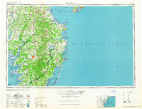 1965 Salisbury1965 Print · USGSThe Delmarva Peninsula in the mid-1960s is depicted here as a landscape of coastal defenses and maritime hubs. Genealogists and local historians can trace the foundations of bayside towns like Crisfield and the tactical positioning of the Fort Miles Military Reservation and Cape May Naval Air Station.
 - 1984 Map of Seaford, 1986 Print
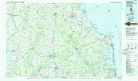 1984 Seaford1986 Print · USGSCoastal Delaware and the Maryland borderlands are captured here in the mid-eighties as modern tourism and traditional agriculture coexist. Researchers can trace the rail-and-river routes through Seaford, explore inland millponds like Chipman Pond, or study the shoreline at Cape Henlopen.2 unique versions available
 - 1992 Map of Seaford East
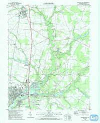 1992 Seaford East1992 Print · USGSSussex County thrives along the Nanticoke River in the early nineties, showing a landscape of established towns and newer waterfront landings. Trace local history at Ross Mansion, the rail lines through Bridgeville, and old community hubs like Hearns Mill.
 - 1992 Map of Seaford West
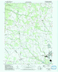 1992 Seaford West1992 Print · USGSThe Delaware-Maryland borderlands come into focus in the early nineties, showing the rural reaches of Sussex County as it meets Federalsburg. Researchers can locate rural landmarks like New Liberty Ch, the crossroads at Atlanta, and old milling sites near Craigs Mill.
 - 1992 Map of Greenwood
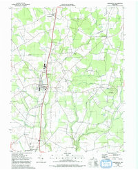 1992 Greenwood1992 Print · USGSThe Delmarva landscape comes alive in the 1990s as it transitions from the rail town of Greenwood to the thick timber of Ellendale State Forest. Researchers can trace the heritage of local settlements like Staytonville and Farmington alongside landmarks like St Johnstown Ch.
 - 2011 Map of Seaford East, 2011 Print
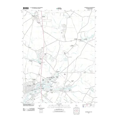 2011 Seaford East2011 Print · USGSCoastal Delaware's riverine landscape is captured here in the early twenty-first century, centered on the growing communities of SEAFORD and Bridgeville. Researchers can trace old industry and family history at Hearns Mill, Douglas Forge, and the Odd Fellows Cemetery.
 - 2011 Map of Greenwood, 2011 Print
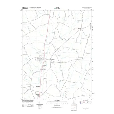 2011 Greenwood2011 Print · USGSCoastal Delaware's rural interior comes into focus during the early twenty-first century as agricultural lands and small hamlets thrive. Researchers can locate family landmarks and burial sites like the Saint Johnstown Cemetery, Hickory Ridge, and Newton Woods.
 - 2011 Map of Seaford West, 2011 Print
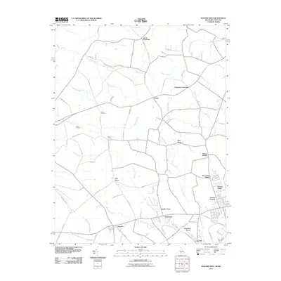 2011 Seaford West2011 Print · USGSSussex County, Delaware, and eastern Maryland are captured here just after the turn of the millennium, showing a landscape of traditional crossroads and rural drainage. Genealogists can locate Bethel Cemetery or trace family roots near Oak Grove and Craigs Mill.
 - 2014 Map of Greenwood, 2014 Print
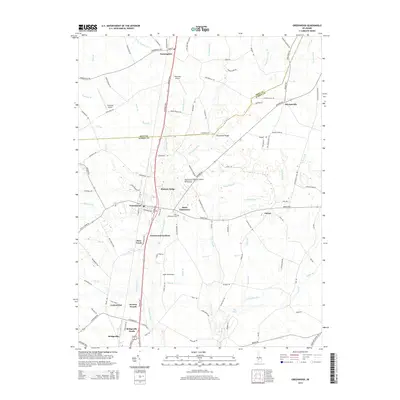 2014 Greenwood2014 Print · USGSThe interior of the Delaware Peninsula comes into focus in this modern era, where the Nanticoke River weaves through a landscape of family-named crossroads and small aviation fields. Researchers can trace local heritage through the Saint Johnstown Cem or explore sites like Cocked Hat and the Mennonite School.
 - 2014 Map of Seaford East, 2014 Print
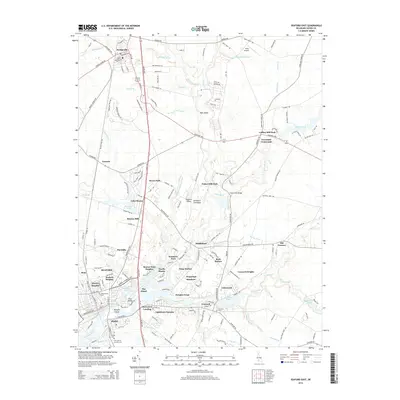 2014 Seaford East2014 Print · USGSMid-century development and old Sussex County crossroads meet in this detailed survey of the Nanticoke River basin. Researchers can locate family roots at Odd Fellows Cem or trace local history through sites like Hearns Mill and Old Furnace.
 - 2014 Map of Seaford West, 2014 Print
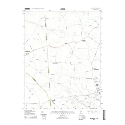 2014 Seaford West2014 Print · USGSThe Delaware and Maryland borderlands of the Delmarva Peninsula appear here in a period of modern growth amidst long-standing rural crossroads. Researchers can trace family history at Bethel Cem, locate the old grounds of Craigs Mill, or follow the waters of Wrights Millpond Br.
 - 2016 Map of Seaford West, 2016 Print
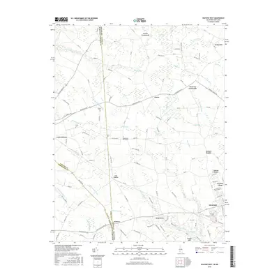 2016 Seaford West2016 Print · USGSThe Delaware and Maryland borderlands near Seaford come alive in this modern survey of the Delmarva Peninsula's agricultural heart. Genealogists and historians can trace family ties at Bethel Cemetery or locate old industrial sites like Craigs Mill and Jacobs Crossroads.
 - 2016 Map of Greenwood, 2016 Print
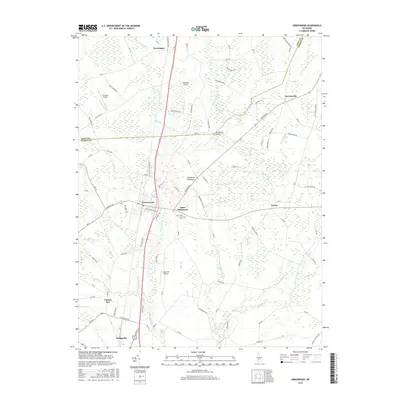 2016 Greenwood2016 Print · USGSThe rural landscape of central Delaware is captured here during the mid-2010s, centered on the growing communities of Greenwood and Bridgeville. Genealogists and local historians can trace family locations near Saint Johnstown Cem or follow the early aviation history of Chorman Airport and Willaview Airport.
Showing maps 1-25 of 32
Top cities near Bridgeville
- Milford historical maps
- Seaford historical maps
- Georgetown historical maps
- Denton historical maps
- Laurel historical maps
- Harrington historical maps
See more
Top neighborhoods of Bridgeville
Frequently asked questions
- What are the different types of historical maps available for Bridgeville?
- What is the oldest map of Bridgeville?
- Where can I purchase historical maps of Bridgeville for my home or office?
- Where can I download high-res historical maps of Bridgeville?
- Are there historical topographic maps available for Bridgeville?
- Is there historical aerial imagery available for Bridgeville?
- Where are historical maps of Bridgeville sourced from?