Old Maps of La Crosse, Florida for Genealogy
Trace your family roots with 16 historic maps of La Crosse. These high-res maps reveal old neighborhoods, homesites, landmarks, and streets — helping you uncover where your ancestors lived and how the area evolved over time.
- Explore historic neighborhoods: Identify where your relatives may have lived in the 1800s or 1900s.
- Compare maps over time: Trace the changes in streets, buildings, and landmarks for multi-generational research.
- Perfect for genealogy & ancestry research: Used by family historians and researchers to map out lineage and migration.
These maps are an incredible resource for exploring your personal connection to La Crosse's past.
La Crosse, FL maps
(16)- 1954 Map of Gainesville, 1965 Print
 1954 Gainesville1965 Print · USGSMid-century North Central Florida comes into focus as a landscape of timber, rails, and river towns along the Gulf. Trace family roots in established centers like Gainesville or follow the path of the Suwannee River to the coastal docks of Cedar Key.3 unique versions available
 - 1958 Map of Gainesville
 1958 Gainesville1958 Print · USGSNorth Central Florida’s rail and river networks are frozen in time just before the interstate era. Genealogists and historians can trace the paths of the Atlantic Coast Line through Gainesville or locate coastal settlements like Steinhatchee and Cedar Key.
 - 1959 Map of Gainesville
 1959 Gainesville1959 Print · USGSNorth Florida in the mid-fifties is seen here from the Gulf coast to the inland lakes, showing the rail-and-river network before modern highways dominated. Researchers can trace the paths of the Seaboard Air Line through towns like Chiefland and Micanopy, or explore the coastal inlets of Waccasassa Bay.
 - 1966 Map of Monteocha, 1967 Print
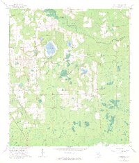 1966 Monteocha1967 Print · USGSThe Florida borderlands of Bradford and Alachua Counties come into focus in the mid-1960s, showing a landscape defined by the Santa Fe River and Mud Swamp. Genealogists and historians can trace community roots through numerous landmarks like Rhuda Branch Cem, Monteocha, and Old Jerusalem Ch.2 unique versions available
 - 1966 Map of Alachua, 1967 Print
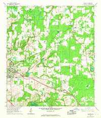 1966 Alachua1967 Print · USGSAlachua and the surrounding farmlands are captured in the mid-sixties during a period of agricultural and rail transition. Genealogists can trace family footprints at Newnansville Cem and Old Thomas Cem, or locate rural landmarks like Shiloh Ch.4 unique versions available
 - 1981 Map of Gainesville, 1982 Print
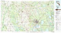 1981 Gainesville1982 Print · USGSGainesville and its surrounding North Central Florida counties are captured in the early eighties, showcasing a mix of university growth and rural agriculture. Genealogists and historians can trace small settlements like Arredondo, Wacahoota, and Island Grove alongside major rail lines like the Seaboard Coast Line.2 unique versions available
 - 2012 Map of Monteocha, 2012 Print
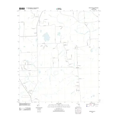 2012 Monteocha2012 Print · USGSAlachua County at the turn of the decade reveals a quiet landscape of rural lanes and creek-fed wetlands. Genealogists and local historians can locate Rhuda Branch Cem and Freedom Cem near the winding Santa Fe River and the settlement of Monteocha.
 - 2012 Map of Alachua, 2012 Print
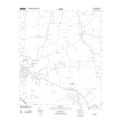 2012 Alachua2012 Print · USGSAlachua and the surrounding Florida heartland are shown here in the early twenty-first century, balancing modern growth with deep historical roots. Genealogists and local historians can trace the sites of Newnansville, early burial grounds like Antioch Cem, and the path of the historic Old Bellamy Rd.
 - 2015 Map of Alachua, 2015 Print
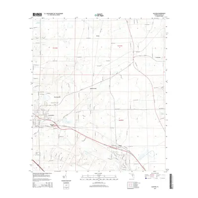 2015 Alachua2015 Print · USGSAlachua County at the start of the twenty-first century reveals a landscape rooted in pioneer history and agricultural growth. Genealogists can trace family roots at Newnansville Cem or Old Thomas Cem and explore the historic site of Newnansville.
 - 2015 Map of Monteocha, 2015 Print
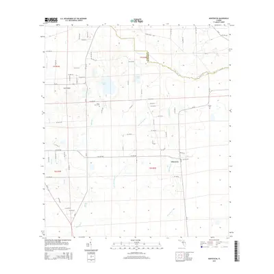 2015 Monteocha2015 Print · USGSAlachua County in the mid-2010s shows a landscape of rural settlements and winding river basins. Researchers can trace family history through Rhuda Branch Cem and Freedom Cem, or follow the hydrology of the Santa Fe River and Monteocha Cr.
 - 2018 Map of Monteocha, 2018 Print
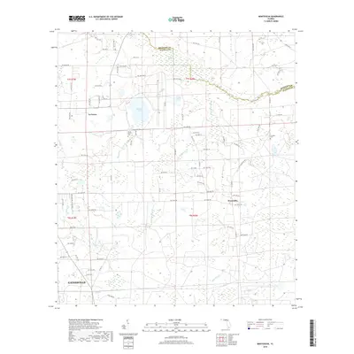 2018 Monteocha2018 Print · USGSAlachua County, Florida, is shown here as it appeared in recent years, where rural settlements meet the northern fringe of a growing university city. Genealogists can locate family landmarks like Rhuda Branch Cem or follow the waters of the Santa Fe River and Monteocha Cr.
 - 2018 Map of Alachua, 2018 Print
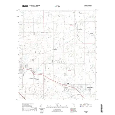 2018 Alachua2018 Print · USGSNorth Florida's rural character and suburban expansion meet in the late 2010s near Alachua. Researchers can trace local heritage through sites like Newnansville Cem, the waters of Burnetts Lake, and the historic path of Old Bellamy Rd.
 - 2021 Map of Alachua, 2021 Print
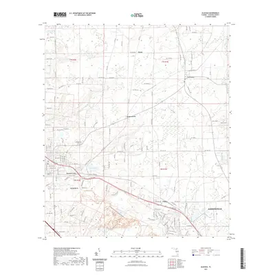 2021 Alachua2021 Print · USGSAlachua County at the start of the 2020s shows a landscape where the growing suburbs of GAINESVILLE meet the preserve of the San Felasco Hammock. Genealogists and local historians can locate early burial sites like Newnansville Cemetery and trace the path of the historic Old Bellamy Rd.
 - 2021 Map of Monteocha, 2021 Print
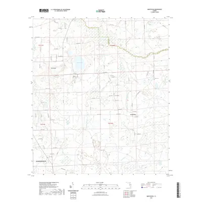 2021 Monteocha2021 Print · USGSAlachua County's rural northern reaches are captured here in the early twenty-first century, showing the lands between Gainesville and La Crosse. Researchers can trace old family burial grounds at Rhuda Branch Cem and Freedom Cem or follow the waters of Monteocha Creek and the Santa Fe River.
 - 2024 Map of Monteocha, 2024 Print
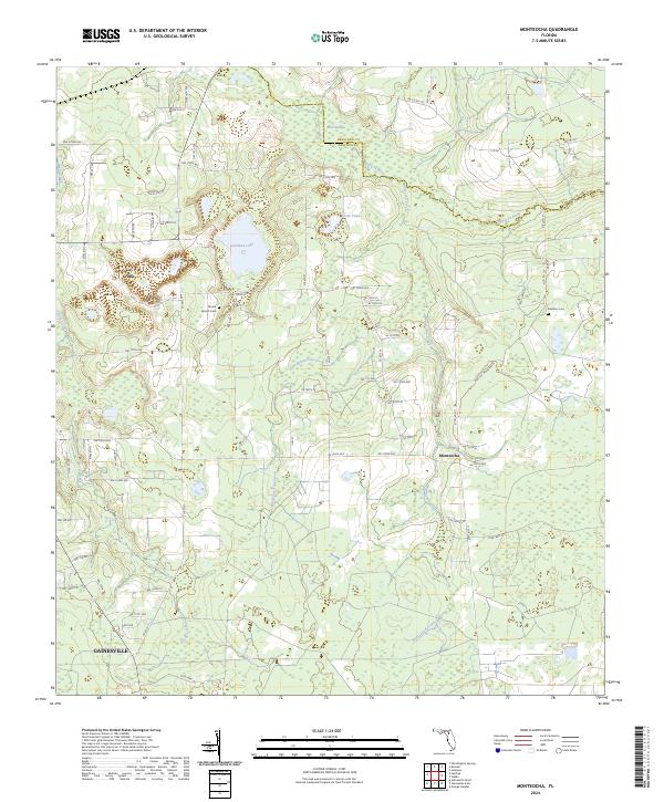 2024 Monteocha2024 Print · USGSIn this contemporary look at Alachua County, the rural landscape north of the city meets the winding course of the Santa Fe River. Genealogists and local historians can trace the vicinity of La Crosse and find local landmarks like Rhuda Branch Cem and Monteocha.
 - 2024 Map of Alachua, 2024 Print
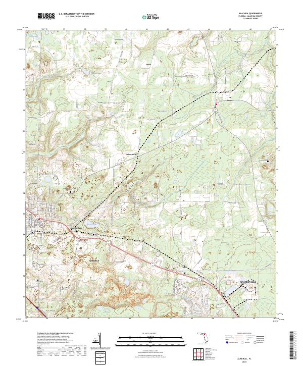 2024 Alachua2024 Print · USGSAlachua and the northern Gainesville fringe appear here in the early twenty-first century, showing a mix of urban growth and preserved Florida wilderness. Genealogists and historians can trace family locations through Old Thomas Cem, Antioch Cem, and the path of the historic Old Bellamy Rd.
End of results
Showing maps 1-16 of 16
Top cities near La Crosse
- Gainesville historical maps
- Alachua historical maps
- High Springs historical maps
- Newberry historical maps
- Lake Butler historical maps
- Waldo historical maps
See more
Frequently asked questions
- What are the different types of historical maps available for La Crosse?
- What is the oldest map of La Crosse?
- Where can I purchase historical maps of La Crosse for my home or office?
- Where can I download high-res historical maps of La Crosse?
- Are there historical topographic maps available for La Crosse?
- Is there historical aerial imagery available for La Crosse?
- Where are historical maps of La Crosse sourced from?