Old Maps of Rockvil, Florida for Academic Research
Study the evolution of Rockvil with 13 high-resolution historic maps. Whether you're teaching, researching, or modeling changes in land use, these maps provide essential visual documentation of urban, environmental, and geographic change.
- Analyze long-term change: Track patterns in development, transportation, and natural features.
- Ideal for environmental or urban studies: Support academic projects with primary historical map data.
- Use in the classroom or lab: Educators and researchers rely on these maps to bring historical context to life.
These maps are a powerful tool for teaching, research, and visualizing how Rockvil has changed over the decades.
Rockvil, FL maps
(13)- 1954 Map of Valdosta, 1967 Print
 1954 Valdosta1967 Print · USGSThe South Georgia and North Florida borderlands are captured here in the mid-fifties, showing the deep timber and wetland networks of the coastal plain. Researchers can trace the path of the Atlantic Coast Line through Valdosta or explore the interior of the Okefenokee Swamp.2 unique versions available
 - 1956 Map of Sargent, 1957 Print
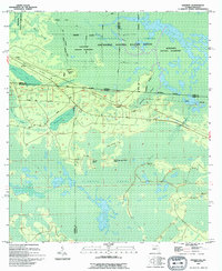
 1956 Sargent1957 Print · USGSThe Florida-Georgia borderlands are captured here in the mid-1950s, highlighting the wild interior where the Southern railroad bisects the great swamps. Trace the isolated outposts of Sargent and Ewing or explore the drainage of White Arm Bay.
 - 1958 Map of Valdosta
 1958 Valdosta1958 Print · USGSSouth Georgia and North Florida are captured here in the mid-fifties, showing the vast Okefenokee Swamp and the vital timber and rail corridors connecting the two states. Researchers can locate the footprint of Moody Air Force Base, trace the Live Oak Perry and Gulf railroad, or find early community sites like Bakers Mill and Paradise Church.
 - 1959 Map of Valdosta
 1959 Valdosta1959 Print · USGSThe Georgia-Florida borderlands in the mid-fifties reveal a landscape of massive blackwater swamps and emerging military aviation hubs. Genealogists and historians can trace rail-stop towns like Fargo and Stockton or explore the interior reaches of the Okefenokee Swamp and Billys Island.
 - 1967 Map of Sargent, 1968 Print
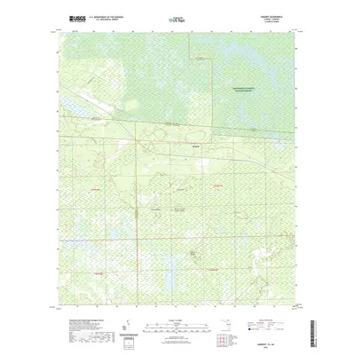
 1967 Sargent1968 Print · USGSThe Georgia-Florida borderlands come alive in this late-sixties experimental survey, where the great southern swamps meet the rail line. Researchers can trace the Southern railroad through the Okefenokee Swamp past Sargent and Moorehead.
 - 1980 Map of Okefenokee Swamp, 1981 Print
 1980 Okefenokee Swamp1981 Print · USGSThe Georgia-Florida borderlands come to life in the early 1980s, centered on the immense wilderness of the Okefenokee Swamp. Genealogists and historians can trace rail-stop settlements like Fargo and Fruitland or explore the interior geography of Billys Island and Trail Ridge.
 - 1994 Map of Sargent
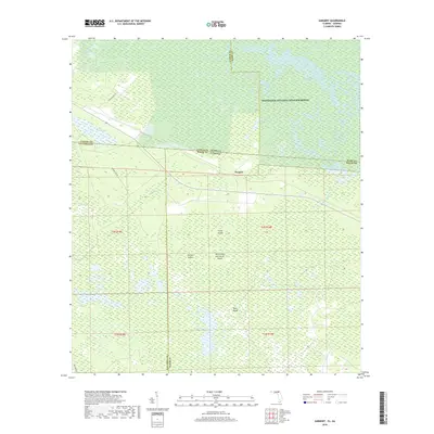
 1994 Sargent1994 Print · USGSThe Florida-Georgia borderlands in the mid-nineties are defined here by the great Southern wetlands and the small outposts that edge them. Genealogists and historians can trace the remote settlements of Sargent and Traveler or locate family-named landmarks like Devils Cup and Saucer Island.
 - 2011 Map of Sargent, 2011 Print
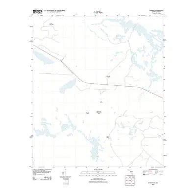 2011 Sargent2011 Print · USGSCovers Rockvil, including Columbia County, Ware County, and other nearby areas
 - 2012 Map of Sargent, 2012 Print
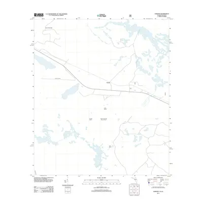 2012 Sargent2012 Print · USGSCovers Rockvil, including Columbia County, Ware County, and other nearby areas
 - 2015 Map of Sargent, 2015 Print
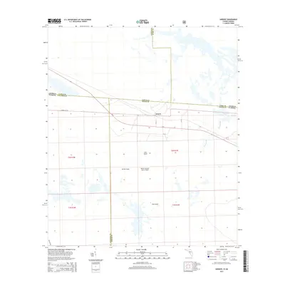 2015 Sargent2015 Print · USGSCovers Rockvil, including Columbia County, Ware County, and other nearby areas
 - 2018 Map of Sargent, 2018 Print
 2018 Sargent2018 Print · USGSCovers Rockvil, including Columbia County, Ware County, and other nearby areas
 - 2021 Map of Sargent, 2021 Print
 2021 Sargent2021 Print · USGSCovers Rockvil, including Columbia County, Ware County, and other nearby areas
 - 2024 Map of Sargent, 2024 Print
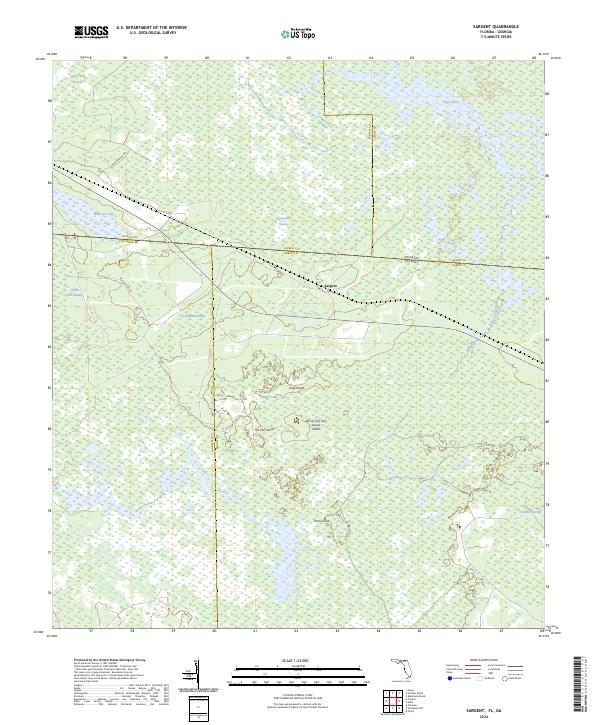 2024 Sargent2024 Print · USGSThe Florida-Georgia state line runs through the heart of the Okefenokee in the 2020s, where county boundaries meet in the deep swamp. Genealogists and historians can locate the settlement of Sargent and trace family-named terrain like Yonn Island and Moorehead Bay.
End of results
Showing maps 1-13 of 13
Top cities near Rockvil
Frequently asked questions
- What are the different types of historical maps available for Rockvil?
- What is the oldest map of Rockvil?
- Where can I purchase historical maps of Rockvil for my home or office?
- Where can I download high-res historical maps of Rockvil?
- Are there historical topographic maps available for Rockvil?
- Is there historical aerial imagery available for Rockvil?
- Where are historical maps of Rockvil sourced from?