Old Maps of Taylor, Florida for Hiking & Exploration
Hike through history with 11 historic maps of Taylor. Explore old trails, ghost towns, and forgotten backroads — perfect for outdoor adventurers and local explorers.
- Rediscover forgotten places: Map out old mining camps, roads, and footpaths that no longer exist on modern maps.
- Layer with modern tools: Combine with LiDAR or satellite views to plan hikes through historical terrain.
- Made for exploration: Popular among hikers, overlanders, and local history lovers.
Use these maps to find adventure and explore the hidden past of Taylor.
Taylor, FL maps
(11)- 1954 Map of Valdosta, 1967 Print
 1954 Valdosta1967 Print · USGSThe South Georgia and North Florida borderlands are captured here in the mid-fifties, showing the deep timber and wetland networks of the coastal plain. Researchers can trace the path of the Atlantic Coast Line through Valdosta or explore the interior of the Okefenokee Swamp.2 unique versions available
 - 1958 Map of Valdosta
 1958 Valdosta1958 Print · USGSSouth Georgia and North Florida are captured here in the mid-fifties, showing the vast Okefenokee Swamp and the vital timber and rail corridors connecting the two states. Researchers can locate the footprint of Moody Air Force Base, trace the Live Oak Perry and Gulf railroad, or find early community sites like Bakers Mill and Paradise Church.
 - 1959 Map of Valdosta
 1959 Valdosta1959 Print · USGSThe Georgia-Florida borderlands in the mid-fifties reveal a landscape of massive blackwater swamps and emerging military aviation hubs. Genealogists and historians can trace rail-stop towns like Fargo and Stockton or explore the interior reaches of the Okefenokee Swamp and Billys Island.
 - 1969 Map of Taylor, 1971 Print
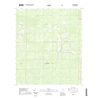
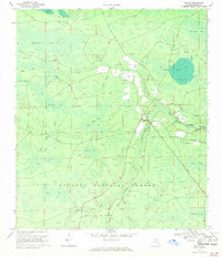 1969 Taylor1971 Print · USGSIn the late sixties, the northern reaches of Baker County were a mosaic of timberland and deep wetlands within the Osceola National Forest. Researchers can trace the community around Taylor, locate the Pleasant Grove Ch, and identify remote landmarks like the Lookout Tower and Huckleberry Island.3 unique versions available
 - 1981 Map of Lake City
 1981 Lake City1981 Print · USGSNorth Florida and South Georgia are mapped in the early eighties as the region balanced forestry with growing infrastructure. Genealogists can trace family names and locations from Live Oak to Macclenny, or find cultural landmarks like the Stephen Foster State Folk Culture Center.2 unique versions available
 - 2005 Map of Taylor, 2006 Print
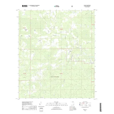
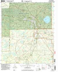 2005 Taylor2006 Print · USGSBaker County forest lands at the turn of the millennium reveal a landscape of timber and wetlands. Genealogists can trace family names at Pine Grove Cem or locate the rural settlement at Taylor near the St Marys River.
 - 2012 Map of Taylor, 2012 Print
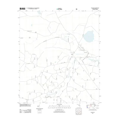 2012 Taylor2012 Print · USGSCovers Taylor, including Baker County, United States, and other nearby areas
 - 2015 Map of Taylor, 2015 Print
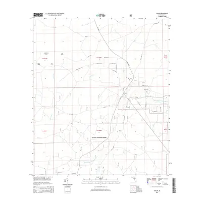 2015 Taylor2015 Print · USGSCovers Taylor, including Baker County, United States, and other nearby areas
 - 2018 Map of Taylor, 2018 Print
 2018 Taylor2018 Print · USGSCovers Taylor, including Baker County, United States, and other nearby areas
 - 2021 Map of Taylor, 2021 Print
 2021 Taylor2021 Print · USGSCovers Taylor, including Baker County, United States, and other nearby areas
 - 2024 Map of Taylor, 2024 Print
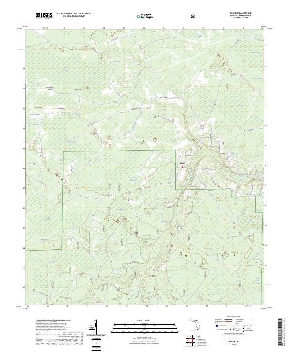 2024 Taylor2024 Print · USGSSettlement and forestry define this northern Florida landscape in the early twenty-first century. Family researchers can trace land use along Morris Dowling Rd or locate rural landmarks like Taylor and the nearby Camp Osceola Rd.
End of results
Showing maps 1-11 of 11
Top cities near Taylor
Frequently asked questions
- What are the different types of historical maps available for Taylor?
- What is the oldest map of Taylor?
- Where can I purchase historical maps of Taylor for my home or office?
- Where can I download high-res historical maps of Taylor?
- Are there historical topographic maps available for Taylor?
- Is there historical aerial imagery available for Taylor?
- Where are historical maps of Taylor sourced from?